File:Cap-Aux-Meules.2023.png
Jump to navigation
Jump to search

No higher resolution available.
Cap-Aux-Meules.2023.png (600 × 375 pixels, file size: 184 KB, MIME type: image/png)
Summary
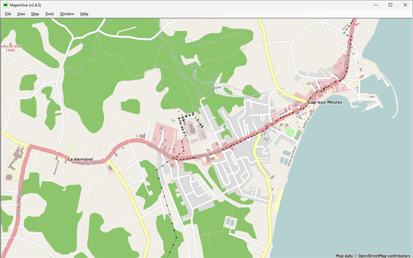
| Description | Cap-aux-Meules as of June 30, 2023 on Maperitive. |
|---|---|
| Author | © OpenStreetMap contributors |
| Source | OSM historical data from overpass-turbo request |
| Date | 2024-03-28 |
| Other versions | none |
Licensing
| Contains map data © OpenStreetMap contributors, made available under the terms of the Open Database License (ODbL).
The ODbL does not require any particular license for maps produced from ODbL data, produced maps may be subject also to other licences. |
File history
Click on a date/time to view the file as it appeared at that time.
| Date/Time | Thumbnail | Dimensions | User | Comment | |
|---|---|---|---|---|---|
| current | 15:05, 28 March 2024 | | 600 × 375 (184 KB) | Jfd553 (talk | contribs) | {{Information | description= Cap-aux-Meules as of June 30, 2023 on Maperitive. | source= OSM historical data from overpass-turbo request | date=2024-03-28 | author= jfd553 | other_versions= none }} |
You cannot overwrite this file.
File usage
There are no pages that use this file.