File:Captage Bel ensemble.jpg
Jump to navigation
Jump to search


Size of this preview: 800 × 471 pixels. Other resolutions: 320 × 188 pixels | 640 × 377 pixels | 1,024 × 603 pixels | 1,280 × 753 pixels | 2,121 × 1,248 pixels.
Original file (2,121 × 1,248 pixels, file size: 146 KB, MIME type: image/jpeg)
Summary
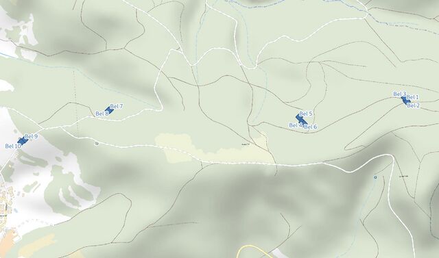
Plan d’ensemble
Licensing
![]()
![]()
![]()
This work is licensed under the Creative Commons Attribution-ShareAlike 4.0 License.
Attribution: Background map data: © OpenStreetMap contributors, SRTM | map style: © OpenTopoMap (CC-BY-SA), screenshot taken by Penegal
Attribution: Background map data: © OpenStreetMap contributors, SRTM | map style: © OpenTopoMap (CC-BY-SA), screenshot taken by Penegal
File history
Click on a date/time to view the file as it appeared at that time.
| Date/Time | Thumbnail | Dimensions | User | Comment | |
|---|---|---|---|---|---|
| current | 17:39, 16 March 2022 | | 2,121 × 1,248 (146 KB) | Penegal (talk | contribs) | Plan d’ensemble |
You cannot overwrite this file.
File usage
The following page uses this file: