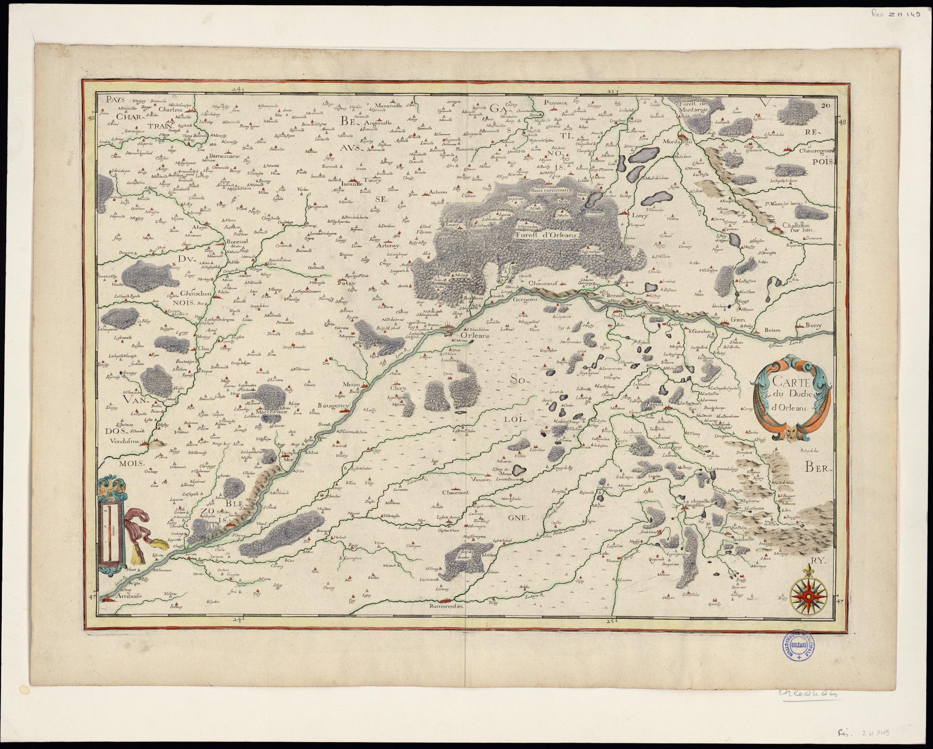
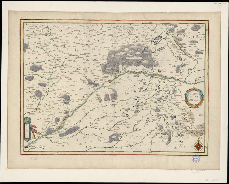
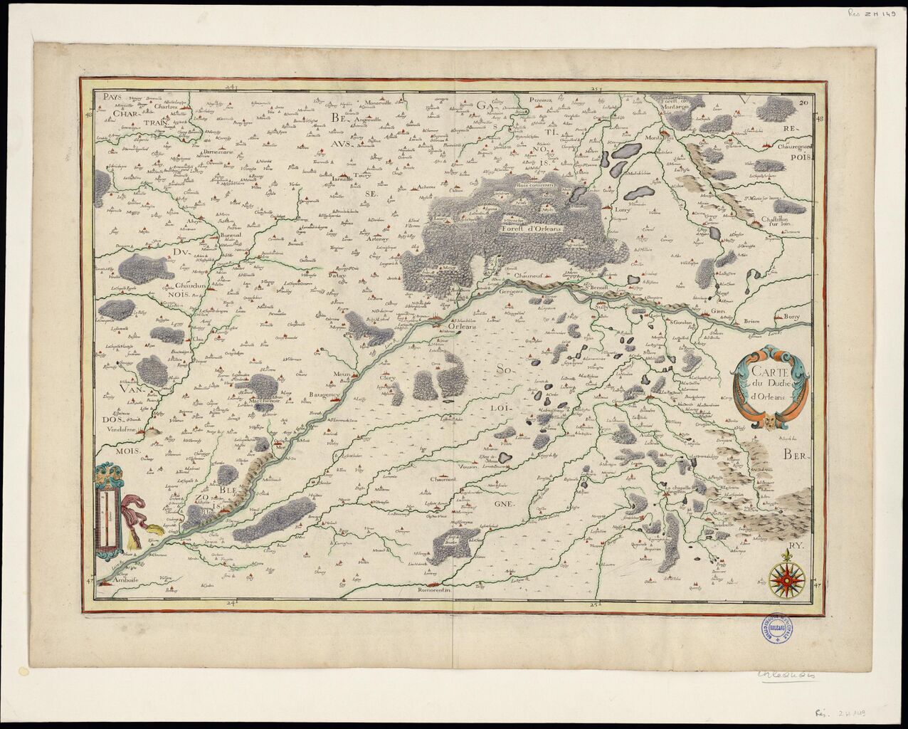
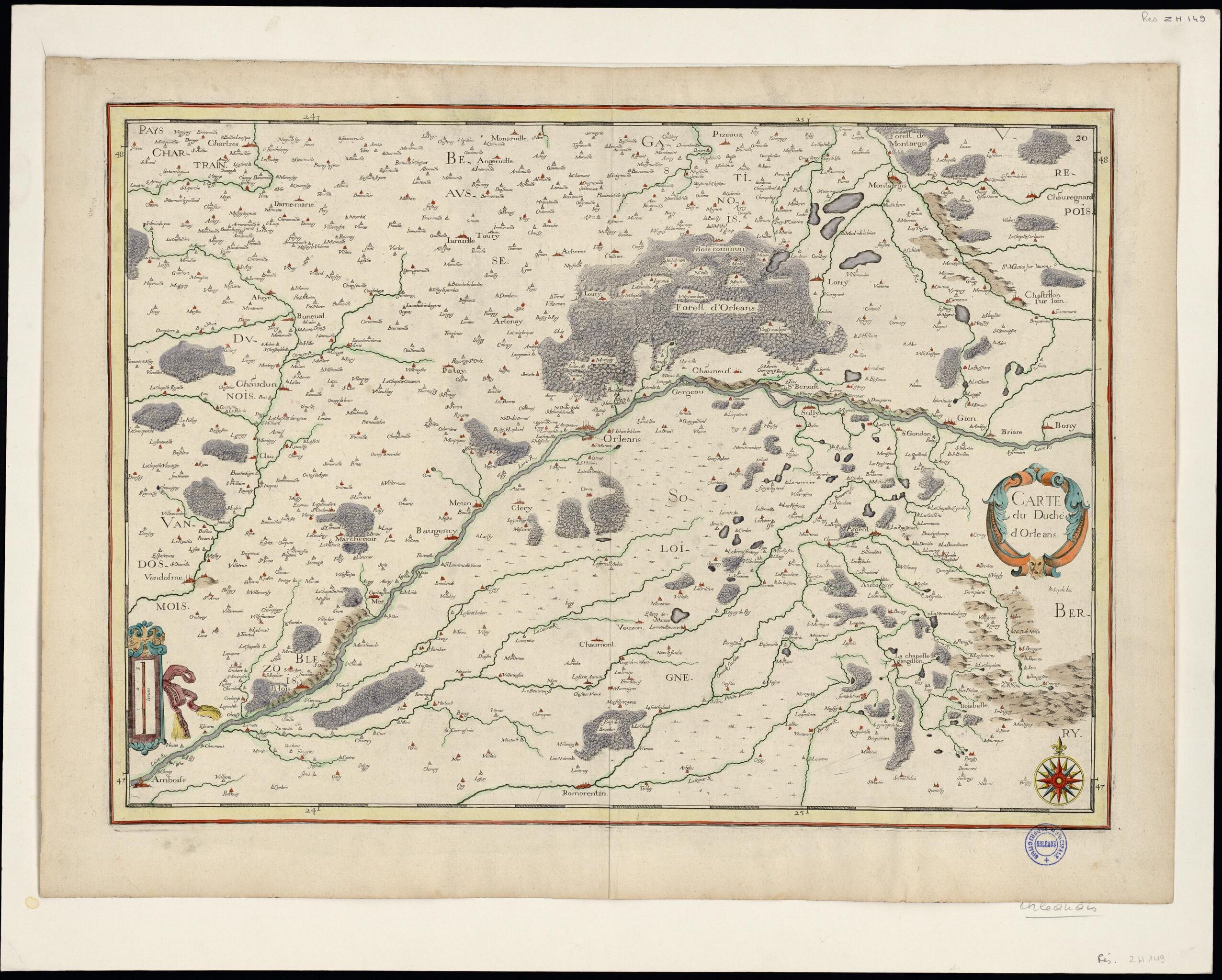
File:Carte du duché d'Orléans (1637).jpg
Jump to navigation
Jump to search

Size of this preview: 747 × 600 pixels. Other resolutions: 299 × 240 pixels | 598 × 480 pixels | 957 × 768 pixels | 1,276 × 1,024 pixels | 2,552 × 2,048 pixels | 3,040 × 2,440 pixels.
Original file (3,040 × 2,440 pixels, file size: 1.12 MB, MIME type: image/jpeg)
Summary
| Description | Carte du duché d'Orléans 1637 |
|---|---|
| Author | C.Tassin |
| Source | https://mediatheques.orleans-metropole.fr/ark:/77916/ORL71278/v0001.simple.selectedTab=record |
| Date | 1637 |
Licensing
![]()
![]()
![]()
This work is licensed under the Creative Commons Attribution-ShareAlike 4.0 License.
Attribution: C.Tassin
Attribution: C.Tassin
File history
Click on a date/time to view the file as it appeared at that time.
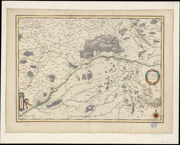
| Date/Time | Thumbnail | Dimensions | User | Comment | |
|---|---|---|---|---|---|
| current | 16:13, 24 May 2023 | | 3,040 × 2,440 (1.12 MB) | Eric Bie (talk | contribs) | {{Information | description=Carte du duché d'Orléans 1637 | source=https://mediatheques.orleans-metropole.fr/ark:/77916/ORL71278/v0001.simple.selectedTab=record | date=1637 | author=C.Tassin | other_versions= }} |
You cannot overwrite this file.
File usage
There are no pages that use this file.
.jpg&oldid=2548658)