Eric Bie
This user submits data to OpenStreetMap under the name
Eric Bie has mapped in France
Eric Bie is based in Europe
Contact
Eric Bie has an account on GitHub as @u4y0u
OS
Linux logo Eric Bie utilise un ordinateur sous Linux
Android logo Eric Bie utilise un appareil mobile Android
Ubuntu logo Eric Bie utilise un ordinateur sous Ubuntu
Windows 11 logo Eric Bie utilise un ordinateur sous Windows 11
OSM
Eric Bie uses Overpass turbo
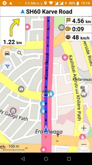
Eric Bie uses OsmAnd
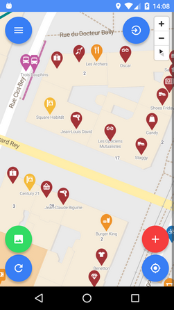
Eric Bie submits data to OpenStreetMap using Every Door
Eric Bie submits data to OpenStreetMap using Vespucci
Eric Bie submits data to OpenStreetMap using Osm Go!
Eric Bie submits data to OpenStreetMap using iD
Eric Bie switch between OpenStreetMap and other maps using OpenSwitchMaps
Eric Bie submits data to OpenStreetMap using JOSM
Eric Bie links from OpenStreetMap to Wikidata
Outside
Eric Bie
Eric Bie
Eric Bie
Eric Bie tracks routes by Car
Eric Bie
Active OSM mapper since June 23, 2014. I am mainly interested in network installations and map them in OSM.
This includes mobile networks, fixed-line networks, copper and fiber internet networks, radio-relay systems, and so on. .
-=O=-
Création de pages wiki
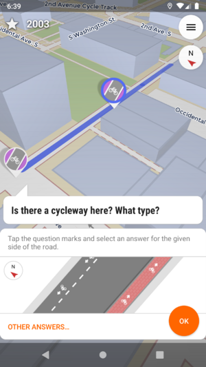
Sur le terrain ... j'utilise sur smartphone les applications Osm_Go! et StreetComplete pour renseigner la base de données OSM,OsmAnd et Organic_Maps .
Osm Go!
StreetComplete
OSM And
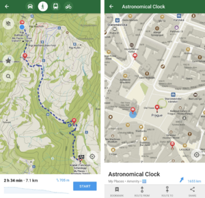
Organic Maps
J'utilise Mapillary 'street-level images' pour maintenir les cartes à jour. ( carte d'Orléans en 360 ).( 360° Camera make & model : GoPro GoPro Fusion/GoPro Max ) exemple d'image
Didactitiel pour l'utilisation de la caméra GoPro Fusion 360° : FR:Mapillary/Data_collection_of_360_degree_images_with_Mapillary
Voir aussi 