File:Claix-modifs-2022-07-09-2022-10-14-small.jpg
Jump to navigation
Jump to search

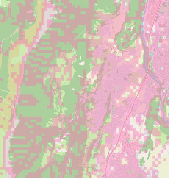
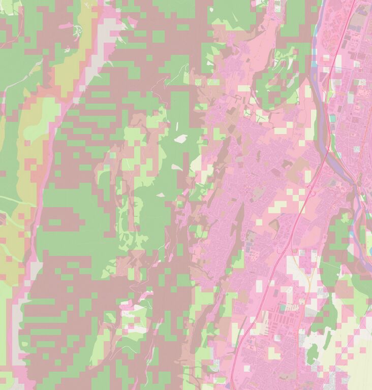
Size of this preview: 571 × 599 pixels. Other resolutions: 229 × 240 pixels | 457 × 480 pixels | 732 × 768 pixels | 976 × 1,024 pixels | 1,952 × 2,048 pixels | 3,072 × 3,223 pixels.
Original file (3,072 × 3,223 pixels, file size: 936 KB, MIME type: image/jpeg)
Summary
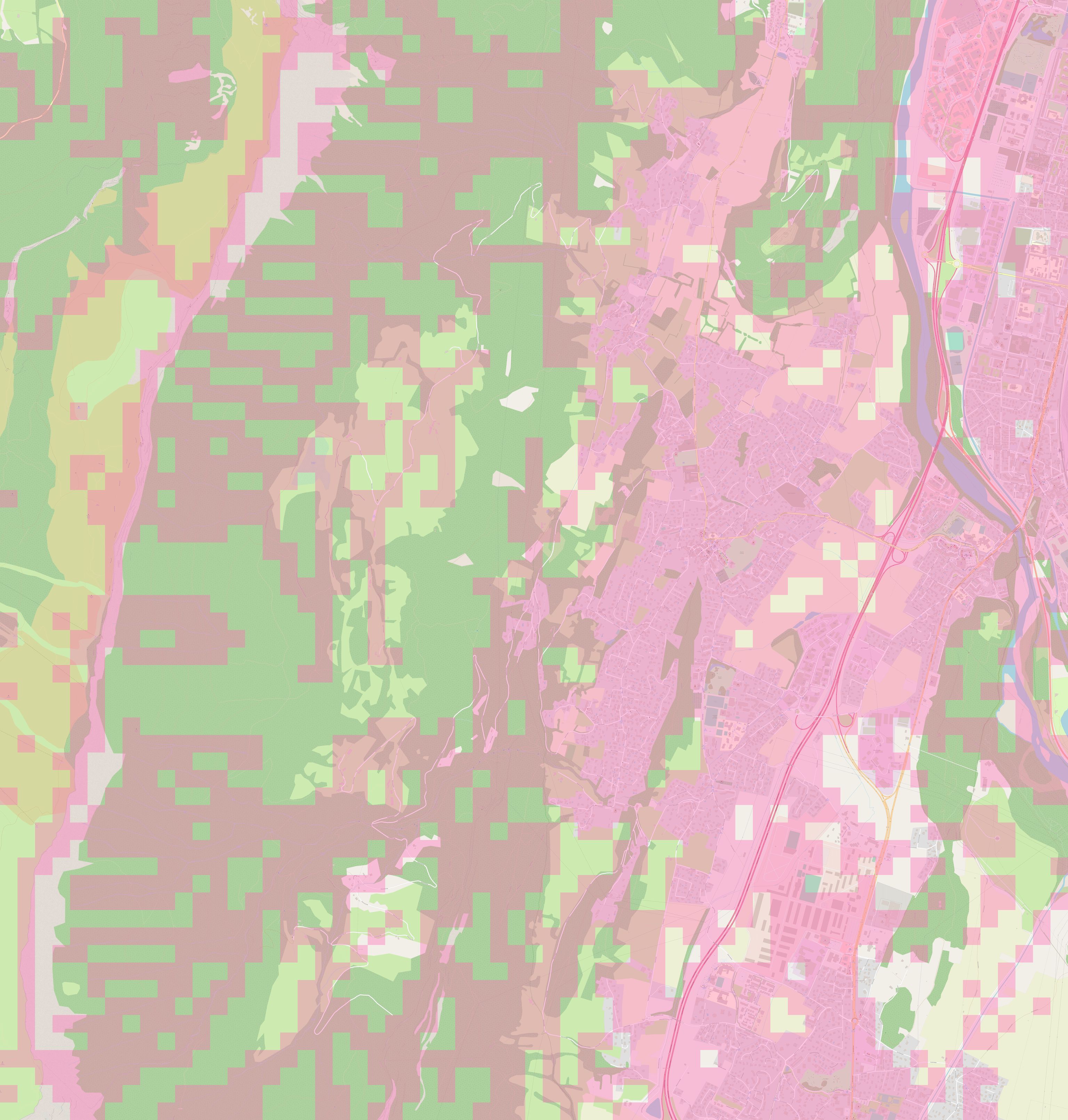
| Description | Carte mettant en évidence les différence sur la carte de la région de Claix (Isère) entre le 04/07/2022 et le 14/10/2022. |
|---|---|
| Author | Jérôme villafruela |
| Source | own work |
| Date | 2022-10-14 |
| Contains map data © OpenStreetMap contributors, made available under the terms of the Open Database License (ODbL).
The ODbL does not require any particular license for maps produced from ODbL data, produced maps may be subject also to other licences. |
![]()
![]()
This work is licensed under the Creative Commons Attribution 4.0 License.
Attribution: Jérôme villafruela
Attribution: Jérôme villafruela
File history
Click on a date/time to view the file as it appeared at that time.
| Date/Time | Thumbnail | Dimensions | User | Comment | |
|---|---|---|---|---|---|
| current | 15:26, 17 October 2022 | | 3,072 × 3,223 (936 KB) | Colargol (talk | contribs) | {{Information | description=Carte mettant en évidence les différence sur carte de la région de Claix (Isère) entre le 04/07/2022 et le 14/10/2022. | source= | date= | author= | permission= | other_versions= }} |
You cannot overwrite this file.
File usage
The following page uses this file: