File:Complex Intersection Connectivity Cincinnati Ohio.png
Jump to navigation
Jump to search

No higher resolution available.
Complex_Intersection_Connectivity_Cincinnati_Ohio.png (444 × 557 pixels, file size: 354 KB, MIME type: image/png)
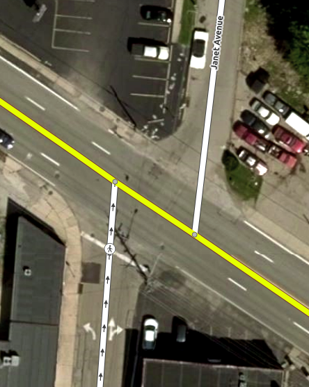
Bing aerial imagery of this location: https://www.osm.org/#map=19/39.16210/-84.62405
File history
Click on a date/time to view the file as it appeared at that time.
| Date/Time | Thumbnail | Dimensions | User | Comment | |
|---|---|---|---|---|---|
| current | 21:26, 24 April 2019 | | 444 × 557 (354 KB) | LeifRasmussen (talk | contribs) |
You cannot overwrite this file.
File usage
The following 3 pages use this file: