File:Crowsnest pass map.png
Jump to navigation
Jump to search

No higher resolution available.
Crowsnest_pass_map.png (800 × 600 pixels, file size: 142 KB, MIME type: image/png)
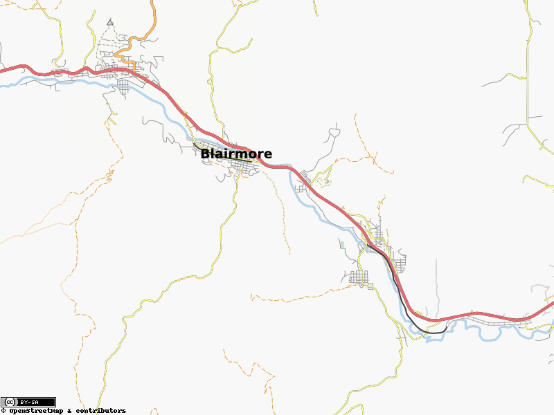
Overview map of the Crowsnest Pass
File history
Click on a date/time to view the file as it appeared at that time.
| Date/Time | Thumbnail | Dimensions | User | Comment | |
|---|---|---|---|---|---|
| current | 19:10, 5 July 2009 | | 800 × 600 (142 KB) | Mungewell (talk | contribs) | |
| 18:19, 14 May 2008 |  | 945 × 776 (56 KB) | Mungewell (talk | contribs) | Overview map of the Crowsnest Pass |
You cannot overwrite this file.
File usage
The following page uses this file: