File:Dernah post-floods on openaerialmap.png
Jump to navigation
Jump to search


Size of this preview: 800 × 394 pixels. Other resolutions: 320 × 157 pixels | 640 × 315 pixels | 1,024 × 504 pixels | 1,896 × 933 pixels.
Original file (1,896 × 933 pixels, file size: 3.12 MB, MIME type: image/png)
Summary
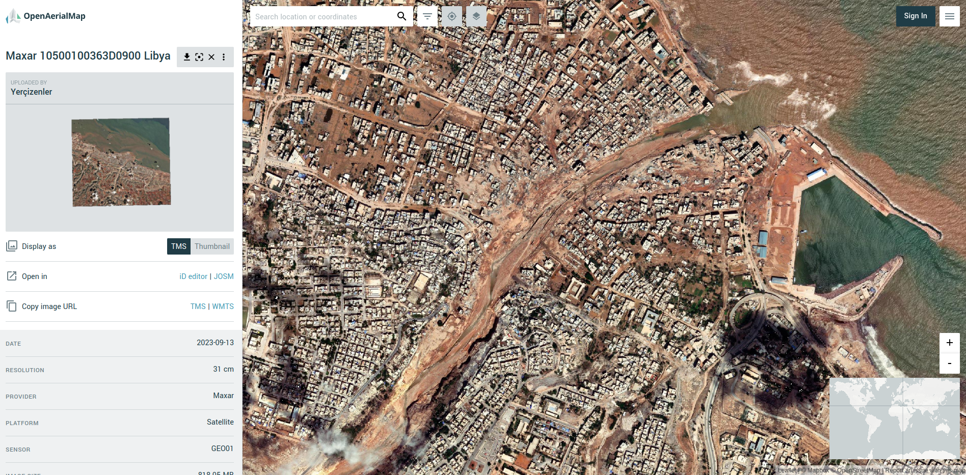
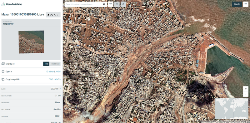
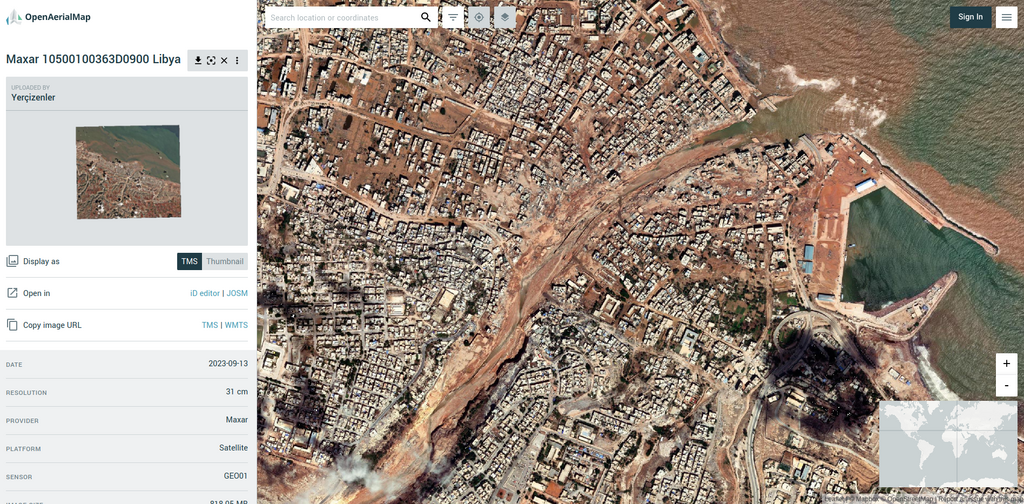
| Description | Dernah post-floods on openaerialmap |
|---|---|
| Author | |
| Source | https://map.openaerialmap.org/#/22.644689083099365,32.76264763330541,16/square/122102220203101231/65029d220906de000167e685?_k=rutwq7 |
| Date | 06 Dec 2023 |
Licensing
![]()
![]()
This work is licensed under the Creative Commons Attribution 4.0 License.
![]()
![]()
This image is composed entirely, or almost entirely, of Maxar aerial imagery.
Maxar imagery is not open licensed, but is generously made available to the OpenStreetMap project for deriving open licensed map data. This upload is not certain to covered by permission described at Maxar ("you may only use our imagery to trace, and validate edits that must be contributed back to OSM. You cannot download our imagery or use our imagery for any other purpose.".) Maybe this use can fit under "validate edits"?
This image is a relatively minor extract of the (worldwide) Maxar imagery, used for illustrative purposes on the OpenStreetMap wiki, to help document ways of using and interpreting the imagery in the OpenStreetMap mapping process.
This image is a relatively minor extract of the (worldwide) Maxar imagery, used for illustrative purposes on the OpenStreetMap wiki, to help document ways of using and interpreting the imagery in the OpenStreetMap mapping process.
File history
Click on a date/time to view the file as it appeared at that time.
| Date/Time | Thumbnail | Dimensions | User | Comment | |
|---|---|---|---|---|---|
| current | 07:28, 6 December 2023 | | 1,896 × 933 (3.12 MB) | Pedrito1414 (talk | contribs) | {{Information | description=Dernah post-floods on openaerialmap | source=https://map.openaerialmap.org/#/22.644689083099365,32.76264763330541,16/square/122102220203101231/65029d220906de000167e685?_k=rutwq7 | date=06 Dec 2023 | author= | other_versions= }} |
You cannot overwrite this file.
File usage
There are no pages that use this file.