File:Deterrent paving 01.jpg
Jump to navigation
Jump to search


Size of this preview: 744 × 600 pixels. Other resolutions: 298 × 240 pixels | 596 × 480 pixels | 953 × 768 pixels | 1,271 × 1,024 pixels | 1,562 × 1,259 pixels.
Original file (1,562 × 1,259 pixels, file size: 339 KB, MIME type: image/jpeg)
Summary
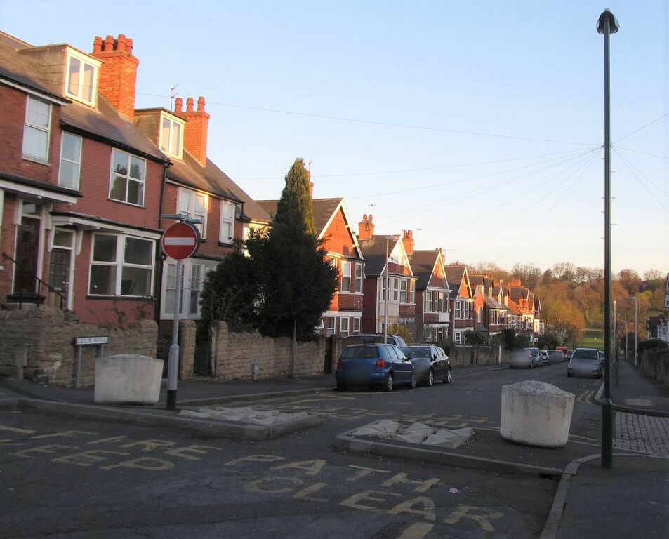
A Low-traffic Neighbourhood filter in Forest Fields, Nottingham consisting of a narrow path for bicycles, planters as bollards and deterrent paving to allow a path for emergency service vehicles.
Licensing
![]()
![]()
![]()
This work is licensed under the Creative Commons Attribution-ShareAlike 4.0 License.
Attribution not specified as a parameter! THIS LICENSE ALWAYS REQUIRES ATTRIBUTION! Use {{CC-BY-SA-4.0|Attribution, typically name of author}} See Template:CC-BY-SA-4.0 for full description this template should be used.
Attribution not specified as a parameter! THIS LICENSE ALWAYS REQUIRES ATTRIBUTION! Use {{CC-BY-SA-4.0|Attribution, typically name of author}} See Template:CC-BY-SA-4.0 for full description this template should be used.
File history
Click on a date/time to view the file as it appeared at that time.
| Date/Time | Thumbnail | Dimensions | User | Comment | |
|---|---|---|---|---|---|
| current | 13:17, 28 July 2021 | | 1,562 × 1,259 (339 KB) | SK53 (talk | contribs) | A Low-traffic Neighbourhood filter in Forest Fields, Nottingham consisting of a narrow path for bicycles, planters as bollards and deterrent paving to allow a path for emergency service vehicles. |
You cannot overwrite this file.
File usage
There are no pages that use this file.