File:DominicanRepublicBoundaries20100125.JPG
Jump to navigation
Jump to search

No higher resolution available.
DominicanRepublicBoundaries20100125.JPG (641 × 482 pixels, file size: 40 KB, MIME type: image/jpeg)
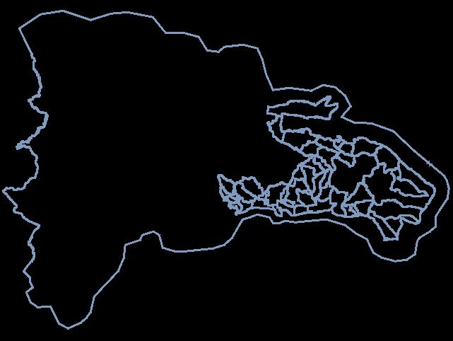
Image showing extent of existing boundary relations covering Dominican Republic as at 25/01/2010.
![]()
Contains map data © OpenStreetMap contributors, made available under the terms of the Creative Commons Attribution-ShareAlike 2.0 (CC-BY-SA-2.0).
File history
Click on a date/time to view the file as it appeared at that time.
| Date/Time | Thumbnail | Dimensions | User | Comment | |
|---|---|---|---|---|---|
| current | 11:29, 25 January 2010 | | 641 × 482 (40 KB) | EdLoach (talk | contribs) | Image showing extent of existing boundary relations covering Dominican Republic as at 25/01/2010. |
You cannot overwrite this file.
File usage
There are no pages that use this file.