File:Dscf0224 600.jpg
Jump to navigation
Jump to search

No higher resolution available.
Dscf0224_600.jpg (600 × 450 pixels, file size: 81 KB, MIME type: image/jpeg)
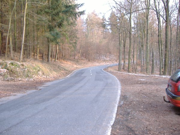
Mühltal - Josephweg - Up to Castle Frankenstein (N49.84850,E8.56253) Example for a secondary street
File history
Click on a date/time to view the file as it appeared at that time.
| Date/Time | Thumbnail | Dimensions | User | Comment | |
|---|---|---|---|---|---|
| current | 23:00, 12 March 2006 | | 600 × 450 (81 KB) | FrankM (talk | contribs) | Mühltal - Josephweg - Up to Castle Frankenstein (N49.84850,E8.56253) Example for a secondary street |
You cannot overwrite this file.
File usage
The following 4 pages use this file: