File:Example of overpass turbo output with MN city tier zoom in.jpg
Jump to navigation
Jump to search

Size of this preview: 575 × 599 pixels. Other resolutions: 230 × 240 pixels | 461 × 480 pixels | 884 × 921 pixels.
Original file (884 × 921 pixels, file size: 212 KB, MIME type: image/jpeg)
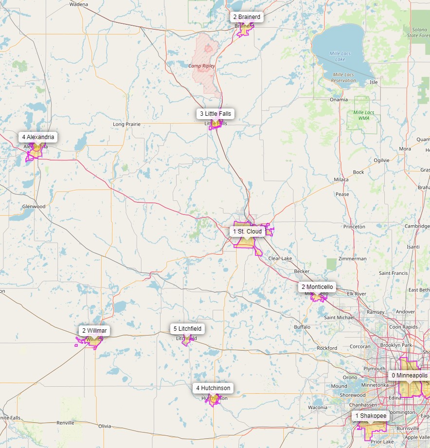
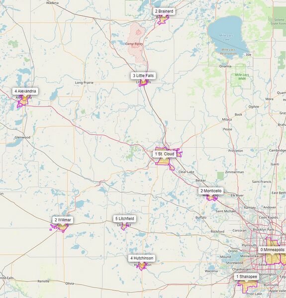
A map of Minnesota showing some of the regional centers
| Contains map data © OpenStreetMap contributors, made available under the terms of the Open Database License (ODbL).
The ODbL does not require any particular license for maps produced from ODbL data, produced maps may be subject also to other licences. |
File history
Click on a date/time to view the file as it appeared at that time.
| Date/Time | Thumbnail | Dimensions | User | Comment | |
|---|---|---|---|---|---|
| current | 22:38, 26 December 2021 | | 884 × 921 (212 KB) | Rjgambrel (talk | contribs) |
You cannot overwrite this file.
File usage
The following page uses this file: