File:Maperitive-wateringen.png
Jump to navigation
Jump to search

Size of this preview: 800 × 499 pixels. Other resolutions: 320 × 200 pixels | 640 × 399 pixels | 1,024 × 639 pixels | 1,273 × 794 pixels.
Original file (1,273 × 794 pixels, file size: 811 KB, MIME type: image/png)
Summary
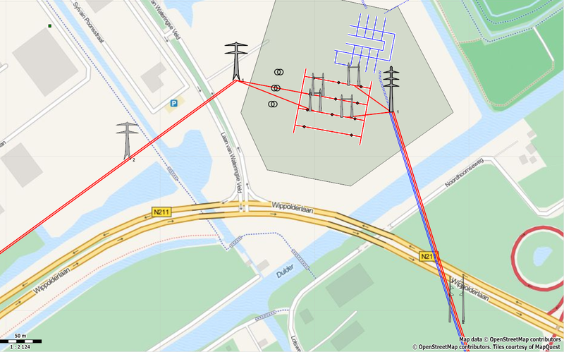
Maperitive rendering according to 'power tower' rules. Example showing towers around 380 kV substation Wateringen, NL
Licensing
| Contains map data © OpenStreetMap contributors, made available under the terms of the Open Database License (ODbL).
The ODbL does not require any particular license for maps produced from ODbL data, produced maps may be subject also to other licences. |
File history
Click on a date/time to view the file as it appeared at that time.
| Date/Time | Thumbnail | Dimensions | User | Comment | |
|---|---|---|---|---|---|
| current | 19:42, 19 November 2013 | | 1,273 × 794 (811 KB) | Polderrunner (talk | contribs) | Rendering using latest ruleset v1.2 |
| 22:29, 11 November 2013 | 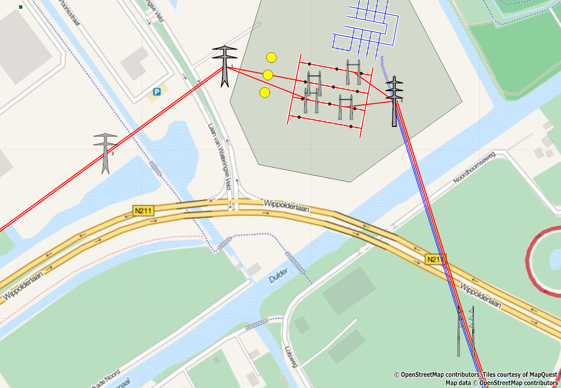 | 1,145 × 792 (723 KB) | Polderrunner (talk | contribs) | Maperitive rendering according to 'power tower' rules. Example showing towers around 380 kV substation Wateringen, NL |
You cannot overwrite this file.
File usage
There are no pages that use this file.