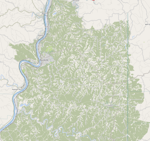
File:Marshall County WV in OSM on January 21, 2021.png
Jump to navigation
Jump to search

Size of this preview: 639 × 600 pixels. Other resolutions: 256 × 240 pixels | 512 × 480 pixels | 818 × 768 pixels | 1,091 × 1,024 pixels | 1,460 × 1,370 pixels.
Original file (1,460 × 1,370 pixels, file size: 1.86 MB, MIME type: image/png)
The title says what's in the picture. Layer used: ÖPNVkarte
File history
Click on a date/time to view the file as it appeared at that time.
| Date/Time | Thumbnail | Dimensions | User | Comment | |
|---|---|---|---|---|---|
| current | 22:34, 21 January 2021 | | 1,460 × 1,370 (1.86 MB) | Ottwiz (talk | contribs) |
You cannot overwrite this file.
File usage
The following page uses this file: