File:Medway.jpg
Jump to navigation
Jump to search

No higher resolution available.
Medway.jpg (640 × 571 pixels, file size: 102 KB, MIME type: image/jpeg)
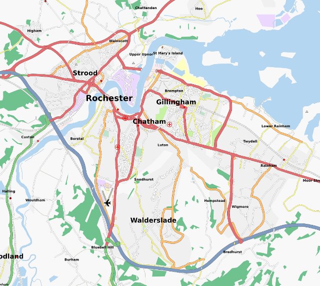
Medway Area Map as of 24/10/07 using Mapnik layer.
Licensing
![]()
![]()
![]()
This screenshot contains OpenStreetMap Carto rendering.
The OpenStreetMap Carto map style is made available under the Creative Commons CC-0 1.0 Universal Public Domain Dedication.
- Attribution to the map data:
![]()
Contains map data © OpenStreetMap contributors, made available under the terms of the Creative Commons Attribution-ShareAlike 2.0 (CC-BY-SA-2.0).
File history
Click on a date/time to view the file as it appeared at that time.
| Date/Time | Thumbnail | Dimensions | User | Comment | |
|---|---|---|---|---|---|
| current | 22:42, 7 January 2009 | | 640 × 571 (102 KB) | TimSC (talk | contribs) | |
| 17:16, 5 November 2007 |  | 720 × 591 (68 KB) | TimSC (talk | contribs) | I have updated the Medway map because the river is now rendered correctly. | |
| 07:11, 24 October 2007 | 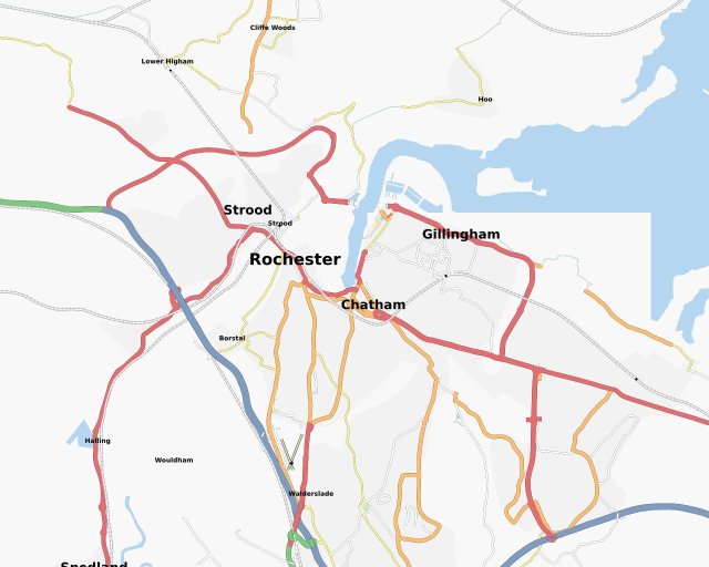 | 640 × 512 (47 KB) | Pray4mojo (talk | contribs) | Medway Area Map as of 24/10/07 using Mapnik layer. |
You cannot overwrite this file.
File usage
The following page uses this file: