File:Missing residentials citylimit.png
Jump to navigation
Jump to search

Size of this preview: 800 × 450 pixels. Other resolutions: 320 × 180 pixels | 640 × 360 pixels | 1,024 × 576 pixels | 1,405 × 790 pixels.
Original file (1,405 × 790 pixels, file size: 506 KB, MIME type: image/png)
Summary
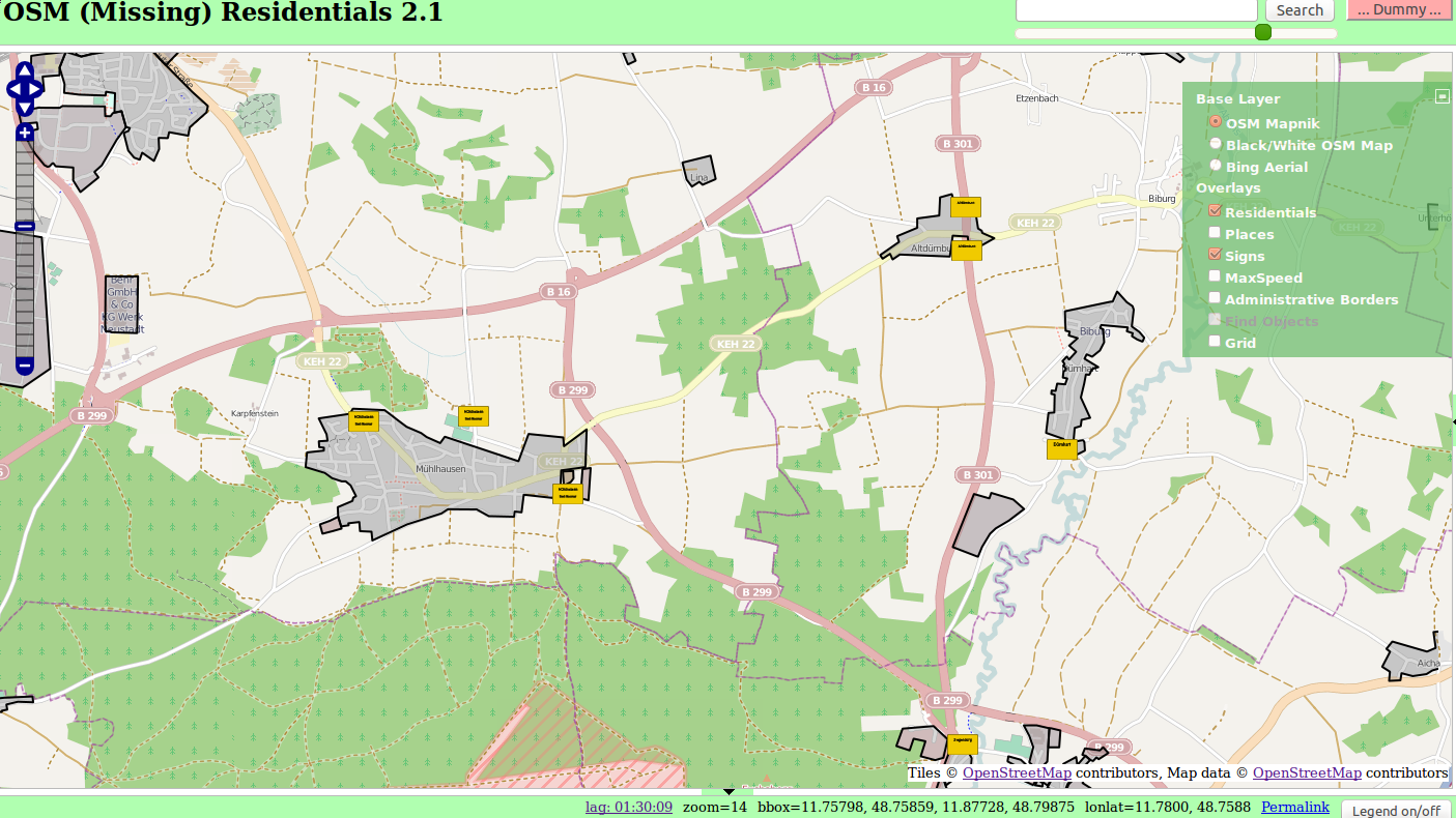
Missing Residentials: Anzeige der Ortsschilder
Licensing
| Contains map data © OpenStreetMap contributors, made available under the terms of the Open Database License (ODbL).
The ODbL does not require any particular license for maps produced from ODbL data, produced maps may be subject also to other licences. |
File history
Click on a date/time to view the file as it appeared at that time.
| Date/Time | Thumbnail | Dimensions | User | Comment | |
|---|---|---|---|---|---|
| current | 16:47, 31 December 2013 | | 1,405 × 790 (506 KB) | Wambacher (talk | contribs) | Missing Residentials: Anzeige der Ortsschilder |
You cannot overwrite this file.
File usage
There are no pages that use this file.