File:Mynydd Rhiw Bing Imagery 2021Nov.jpg
Jump to navigation
Jump to search


Size of this preview: 800 × 600 pixels. Other resolutions: 320 × 240 pixels | 640 × 480 pixels | 1,024 × 768 pixels.
Original file (1,024 × 768 pixels, file size: 405 KB, MIME type: image/jpeg)
![]()
This page has been labelled for deletion.
The given reason is: Unused Bing image and we have no permission to keep them - unused do not qualify even for fair use.
This normally means the page title is a bad one, and the content has been moved somewhere better. If a page title is vaguely meaningful, the page should perhaps be a redirect, or hold a small summary for historical interest instead. If you disagree with its deletion, please explain why on its talk page.
The page should now be empty apart from this message (as per procedure). The page history shows what used to be on this page, and allows people to rescue an old revision. We may decide to do this, but otherwise a wiki sysop user can delete this page more permanently at some point. In the meantime we should fix any pages linking to here.
Summary
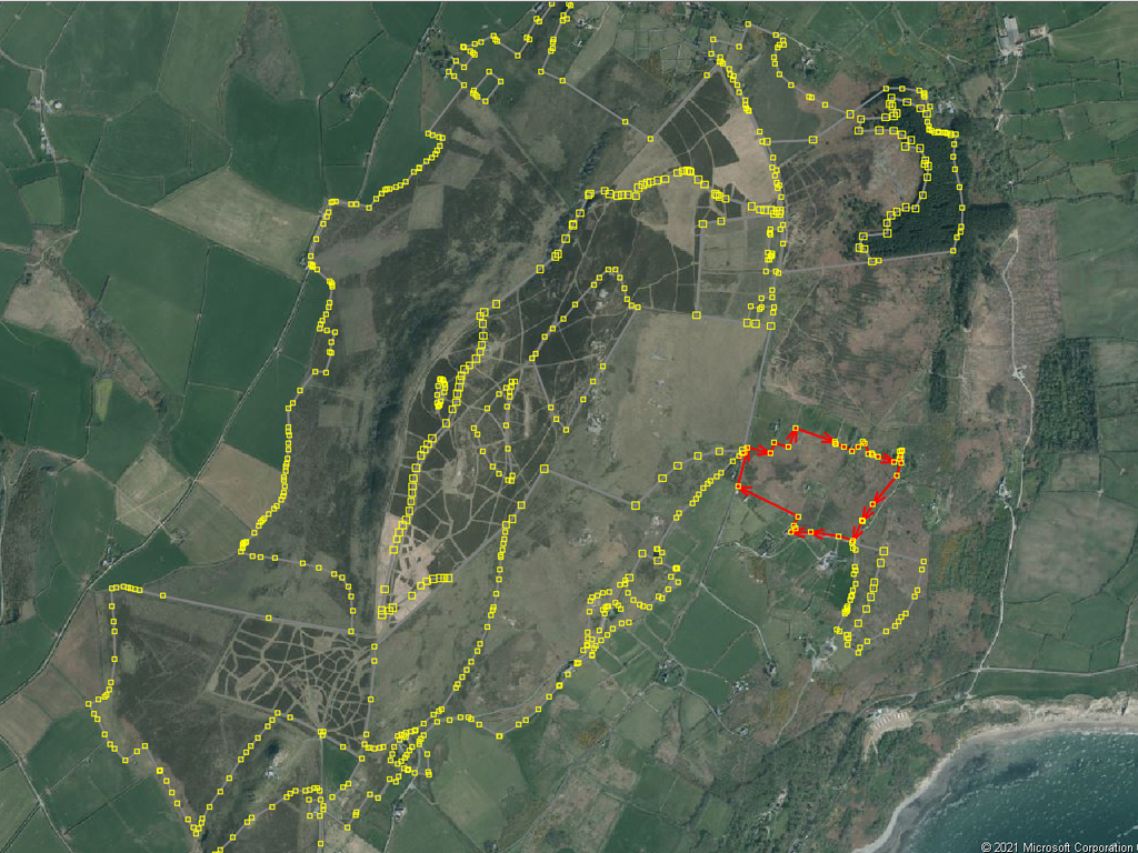
A screenshot of Bing Imagery in JOSM of Mynydd Rhiw with polygons from Phase 1 Habitat Survey of Wales overlaid.
Licensing
![]()
![]()
This image is composed entirely, or almost entirely, of Bing aerial imagery.
Bing imagery is not open licensed, but is generously made available to the OpenStreetMap project for deriving open licensed map data in editors such as JOSM, iD or Vespucci. This upload is not covered by permission described at Bing Maps, as OSM Wiki cannot be interpreted as "editor application" and "We require you use access credentials to use the service and require use of transaction tracking and/or session tracking methods for all uses of the service" is not fulfilled.
This image is a relatively minor extract of the (worldwide) Bing imagery, used for illustrative purposes on the OpenStreetMap wiki, to help document ways of using and interpreting the imagery in the OpenStreetMap mapping process.
This image is a relatively minor extract of the (worldwide) Bing imagery, used for illustrative purposes on the OpenStreetMap wiki, to help document ways of using and interpreting the imagery in the OpenStreetMap mapping process.
File history
Click on a date/time to view the file as it appeared at that time.
| Date/Time | Thumbnail | Dimensions | User | Comment | |
|---|---|---|---|---|---|
| current | 20:45, 18 November 2021 | | 1,024 × 768 (405 KB) | SK53 (talk | contribs) | A screenshot of Bing Imagery in JOSM of Mynydd Rhiw with polygons from Phase 1 Habitat Survey of Wales overlaid. |
You cannot overwrite this file.
File usage
There are no pages that use this file.