File:NID-dams-not-in-OSM.png
Jump to navigation
Jump to search

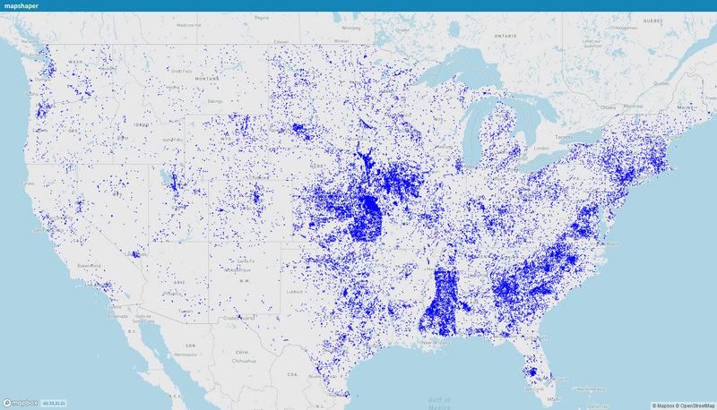
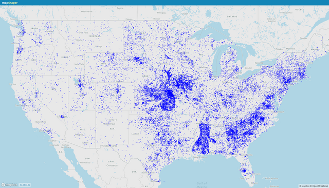
Size of this preview: 800 × 458 pixels. Other resolutions: 320 × 183 pixels | 640 × 366 pixels | 1,024 × 586 pixels | 1,769 × 1,013 pixels.
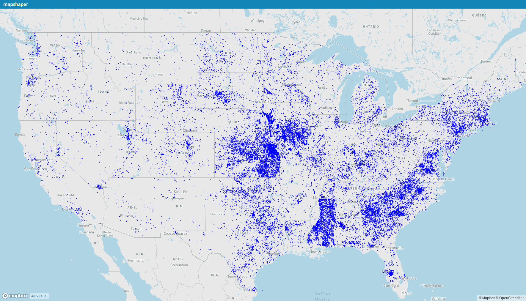
Original file (1,769 × 1,013 pixels, file size: 846 KB, MIME type: image/png)
Summary
| Description | Map from Mapshaper showing locations from the U.S. National Inventory of Dams not represented in OpenStreetMap using ref:US:NID=* |
|---|---|
| Author | |
| Source | |
| Date | 2029-12-29 |
Licensing
| Contains map data © OpenStreetMap contributors, made available under the terms of the Open Database License (ODbL).
The ODbL does not require any particular license for maps produced from ODbL data, produced maps may be subject also to other licences. |
File history
Click on a date/time to view the file as it appeared at that time.
| Date/Time | Thumbnail | Dimensions | User | Comment | |
|---|---|---|---|---|---|
| current | 18:01, 29 December 2023 | | 1,769 × 1,013 (846 KB) | MattMap (talk | contribs) | {{Information | description=Map from Mapshaper showing locations from the U.S. National Inventory of Dams not represented in OpenStreetMap using {{Key|ref:US:NID}} | source= | date=2029-12-29 | author= | other_versions= }} |
You cannot overwrite this file.
File usage
The following page uses this file: