File:NL Ring 3.jpeg
Jump to navigation
Jump to search

No higher resolution available.
NL_Ring_3.jpeg (270 × 270 pixels, file size: 84 KB, MIME type: image/jpeg)
Summary
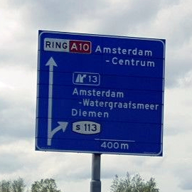
Fork sign seen when driving on the Amsterdam ring road.
This image is derived from a photo uploaded to Mapillary. The original metadata from Mapillary was:
- Captured by: Lowiekse
- Captured on: May 23, 2021
- Captured with: samsung SM-G950F
- Shared under the CC BY-SA 4.0 license
Licensing
![]()
![]()
![]()
This work is licensed under the Creative Commons Attribution-ShareAlike 4.0 License.
Attribution: Lowiekse
Attribution: Lowiekse
![]()
This file comes from Mapillary, a service for sharing geotagged photos. All photos are under a CC BY-SA 4.0 license meaning the individual photographer must be credited for each image.
This template does not indicate the copyright status of the attached work. A normal copyright template is still required, typically it will be {{CC-BY-SA-4.0|HERE PUT NAME OF IMAGE AUTHOR}}.
This template does not indicate the copyright status of the attached work. A normal copyright template is still required, typically it will be {{CC-BY-SA-4.0|HERE PUT NAME OF IMAGE AUTHOR}}.
File history
Click on a date/time to view the file as it appeared at that time.
| Date/Time | Thumbnail | Dimensions | User | Comment | |
|---|---|---|---|---|---|
| current | 21:47, 10 December 2021 | | 270 × 270 (84 KB) | JeroenvanderGun (talk | contribs) | Fork sign seen when driving on the Amsterdam ring road. This image is derived from a photo uploaded to Mapillary. The original metadata from Mapillary was: * Captured by: '''Lowiekse''' * Captured on: May 23, 2021 * Captured with: samsung SM-G950F * Shared under the CC BY-SA 4.0 license |
You cannot overwrite this file.
File usage
The following page uses this file: