File:NL Ring 3c.jpeg
Jump to navigation
Jump to search

No higher resolution available.
NL_Ring_3c.jpeg (469 × 468 pixels, file size: 187 KB, MIME type: image/jpeg)
Summary
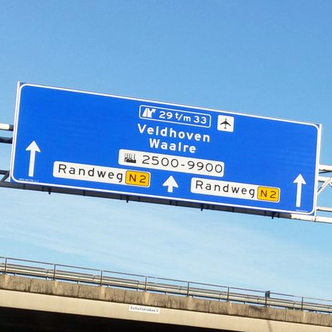
| Description | Sign seen when driving on the Eindhoven boundary road. Photo modified from original. |
|---|---|
| Author | it_s_so_funny (original photo) |
| Source | https://www.mapillary.com/app/?lat=51.404347040000005&lng=5.503704169999992&z=19.470048070110266&pKey=167716901931595&focus=photo&x=0.3168517237197117&y=0.30895495197616235&zoom=0.8006430868167208 |
| Date | Dec 26, 2016 (original photo) |
Licensing
![]()
This file comes from Mapillary, a service for sharing geotagged photos. All photos are under a CC BY-SA 4.0 license meaning the individual photographer must be credited for each image.
This template does not indicate the copyright status of the attached work. A normal copyright template is still required, typically it will be {{CC-BY-SA-4.0|HERE PUT NAME OF IMAGE AUTHOR}}.
This template does not indicate the copyright status of the attached work. A normal copyright template is still required, typically it will be {{CC-BY-SA-4.0|HERE PUT NAME OF IMAGE AUTHOR}}.
![]()
![]()
![]()
This work is licensed under the Creative Commons Attribution-ShareAlike 4.0 License.
Attribution: it_s_so_funny (changes have been made)
Attribution: it_s_so_funny (changes have been made)
File history
Click on a date/time to view the file as it appeared at that time.
| Date/Time | Thumbnail | Dimensions | User | Comment | |
|---|---|---|---|---|---|
| current | 20:28, 30 June 2022 | | 469 × 468 (187 KB) | JeroenvanderGun (talk | contribs) | == Summary == {{Information | description=Sign seen when driving on the Eindhoven boundary road. Photo modified from original. | source=https://www.mapillary.com/app/?lat=51.404347040000005&lng=5.503704169999992&z=19.470048070110266&pKey=167716901931595&focus=photo&x=0.3168517237197117&y=0.30895495197616235&zoom=0.8006430868167208 | date=Dec 26, 2016 (original photo) | author=it_s_so_funny (original photo) }} == Licensing == {{Mapillary}} {{CC-BY-SA-4.0|it_s_so_funny (changes have been made)}} |
You cannot overwrite this file.
File usage
The following page uses this file: