File:NL Ring 3d.jpeg
Jump to navigation
Jump to search

No higher resolution available.
NL_Ring_3d.jpeg (493 × 493 pixels, file size: 310 KB, MIME type: image/jpeg)
Summary
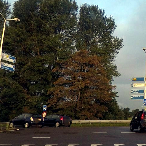
| Description | Signs seen when driving on the Alkmaar ring road. Photo modified from original. |
|---|---|
| Author | Garmin VIRBXE (original photo) |
| Source | https://www.mapillary.com/app/?lat=52.647365061389&lng=4.7324856461112&z=17&pKey=340677880721563&focus=photo&x=0.320016111640745&y=0.5145027114160291&zoom=1.06511245155599 |
| Date | Sep 7, 2015 (original photo) |
Licensing
![]()
This file comes from Mapillary, a service for sharing geotagged photos. All photos are under a CC BY-SA 4.0 license meaning the individual photographer must be credited for each image.
This template does not indicate the copyright status of the attached work. A normal copyright template is still required, typically it will be {{CC-BY-SA-4.0|HERE PUT NAME OF IMAGE AUTHOR}}.
This template does not indicate the copyright status of the attached work. A normal copyright template is still required, typically it will be {{CC-BY-SA-4.0|HERE PUT NAME OF IMAGE AUTHOR}}.
![]()
![]()
![]()
This work is licensed under the Creative Commons Attribution-ShareAlike 4.0 License.
Attribution: Garmin VIRBXE (changes have been made)
Attribution: Garmin VIRBXE (changes have been made)
File history
Click on a date/time to view the file as it appeared at that time.
| Date/Time | Thumbnail | Dimensions | User | Comment | |
|---|---|---|---|---|---|
| current | 19:56, 1 July 2022 | | 493 × 493 (310 KB) | JeroenvanderGun (talk | contribs) | == Summary == {{Information | description=Sign seen when driving on the Alkmaar ring road. Photo modified from original. | source=https://www.mapillary.com/app/?lat=52.647365061389&lng=4.7324856461112&z=17&pKey=340677880721563&focus=photo&x=0.320016111640745&y=0.5145027114160291&zoom=1.06511245155599 | date=Sep 7, 2015 (original photo) | author=Garmin VIRBXE (original photo) }} == Licensing == {{Mapillary}} {{CC-BY-SA-4.0|Garmin VIRBXE (changes have been made)}} |
You cannot overwrite this file.
File usage
The following page uses this file: