File:NL Ring 3e.jpeg
Jump to navigation
Jump to search


Size of this preview: 600 × 600 pixels. Other resolutions: 240 × 240 pixels | 480 × 480 pixels | 978 × 978 pixels.
Original file (978 × 978 pixels, file size: 453 KB, MIME type: image/jpeg)
Summary
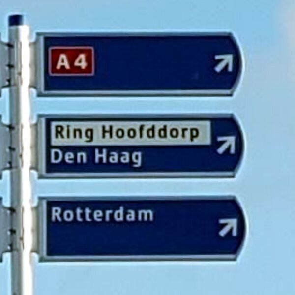
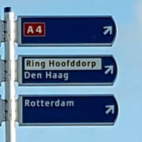
| Description | Signs seen when driving on the Hoofddorp ring road. Photo modified from original. |
|---|---|
| Author | Lowiekse (original photo) |
| Source | https://www.mapillary.com/app/?lat=52.285199899999&lng=4.7133898999988&z=17&pKey=224830789771547&focus=photo&x=0.5542887940888531&y=0.2484105168712889&zoom=0.8006430868167208 |
| Date | Feb 5, 2022 (original photo) |
Licensing
![]()
This file comes from Mapillary, a service for sharing geotagged photos. All photos are under a CC BY-SA 4.0 license meaning the individual photographer must be credited for each image.
This template does not indicate the copyright status of the attached work. A normal copyright template is still required, typically it will be {{CC-BY-SA-4.0|HERE PUT NAME OF IMAGE AUTHOR}}.
This template does not indicate the copyright status of the attached work. A normal copyright template is still required, typically it will be {{CC-BY-SA-4.0|HERE PUT NAME OF IMAGE AUTHOR}}.
![]()
![]()
![]()
This work is licensed under the Creative Commons Attribution-ShareAlike 4.0 License.
Attribution: Lowiekse (changes have been made)
Attribution: Lowiekse (changes have been made)
File history
Click on a date/time to view the file as it appeared at that time.
| Date/Time | Thumbnail | Dimensions | User | Comment | |
|---|---|---|---|---|---|
| current | 20:20, 1 July 2022 | | 978 × 978 (453 KB) | JeroenvanderGun (talk | contribs) | == Summary == {{Information | description=Signs seen when driving on the Hoofddorp ring road. Photo modified from original. | source=https://www.mapillary.com/app/?lat=52.285199899999&lng=4.7133898999988&z=17&pKey=224830789771547&focus=photo&x=0.5542887940888531&y=0.2484105168712889&zoom=0.8006430868167208 | date=Feb 5, 2022 (original photo) | author=Lowiekse (original photo) }} == Licensing == {{Mapillary}} {{CC-BY-SA-4.0|Lowiekse (changes have been made)}} |
You cannot overwrite this file.
File usage
The following page uses this file: