File:Noaa20100120.jpg
Jump to navigation
Jump to search

No higher resolution available.
Noaa20100120.jpg (466 × 290 pixels, file size: 28 KB, MIME type: image/jpeg)
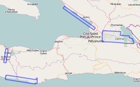
Boundary drawn in JOSM, tracing loaded imagery.
File history
Click on a date/time to view the file as it appeared at that time.
| Date/Time | Thumbnail | Dimensions | User | Comment | |
|---|---|---|---|---|---|
| current | 00:14, 11 February 2010 | | 466 × 290 (28 KB) | Ceyockey (talk | contribs) | |
| 07:55, 29 January 2010 | 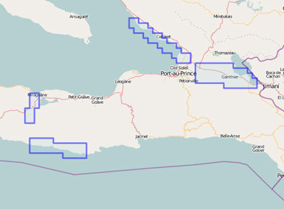 | 400 × 294 (83 KB) | Lübeck (talk | contribs) | boundary create by http://haiticrisismap.org/osm/noaa-20.1.osm |
You cannot overwrite this file.
File usage
The following page uses this file: