File:OSM Boundaries Map.png
Jump to navigation
Jump to search


Size of this preview: 800 × 384 pixels. Other resolutions: 320 × 153 pixels | 640 × 307 pixels | 1,174 × 563 pixels.
Original file (1,174 × 563 pixels, file size: 364 KB, MIME type: image/png)
File history
Click on a date/time to view the file as it appeared at that time.
| Date/Time | Thumbnail | Dimensions | User | Comment | |
|---|---|---|---|---|---|
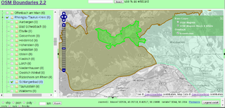
| current | 11:27, 22 March 2015 | | 1,174 × 563 (364 KB) | Jojo4u (talk | contribs) | Screenshot of OSM Boundaries Map. Permission here: http://forum.openstreetmap.org/viewtopic.php?pid=492707#p492707 URL: https://osm.wno-edv-service.de/boundaries/idx22o.jsp?zoom=14&lat=50.11864&lon=8.13099&layers=0BT&selected=403139_62746 |
You cannot overwrite this file.
File usage
The following 5 pages use this file: