File:Oregon 300 p-map 01.png
Jump to navigation
Jump to search

No higher resolution available.
Oregon_300_p-map_01.png (240 × 400 pixels, file size: 61 KB, MIME type: image/png)
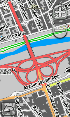
P-Map sur un Oregon 300
File history
Click on a date/time to view the file as it appeared at that time.
| Date/Time | Thumbnail | Dimensions | User | Comment | |
|---|---|---|---|---|---|
| current | 16:11, 25 October 2012 | | 240 × 400 (61 KB) | Petrovsk (talk | contribs) | |
| 09:28, 2 February 2012 | 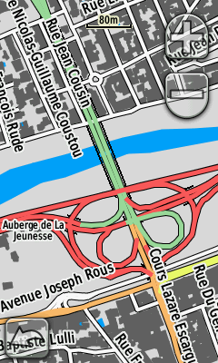 | 240 × 400 (62 KB) | Petrovsk (talk | contribs) | ||
| 08:48, 22 May 2011 |  | 240 × 400 (72 KB) | Petrovsk (talk | contribs) | ||
| 20:51, 12 April 2011 | 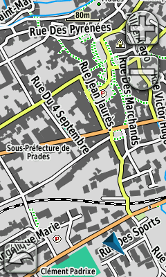 | 240 × 400 (77 KB) | Petrovsk (talk | contribs) | ||
| 10:00, 9 February 2010 |  | 240 × 400 (75 KB) | Petrovsk (talk | contribs) | P-Map sur un Oregon 300 |
You cannot overwrite this file.
File usage
The following 2 pages use this file: