File:Osmt.jpg
Jump to navigation
Jump to search

No higher resolution available.
Osmt.jpg (606 × 588 pixels, file size: 173 KB, MIME type: image/jpeg)
Summary
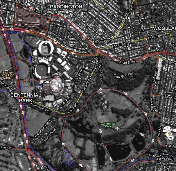
Map style for overlay on satellite/aerial imagery.
Map Data used in this example is (c) OpenStreetMap.org Contributors, CC BY-SA 2.0.
Imagery used in this example is © Commonwealth of Australia (Geoscience Australia) 2011 CC BY 3.0 AU, http://www.ga.gov.au/products/servlet/controller?event=GEOCAT_DETAILS&catno=72657.
Live demo http://tianjara.net/leaflet.html#map=agri,osmt
Stylesheet source https://github.com/andrewharvey/osm-hybrid-carto/
Licensing
![]()
![]()
![]()
This work is licensed under the Creative Commons Attribution-ShareAlike 2.0 License.
Attribution not specified as a parameter! THIS LICENSE ALWAYS REQUIRES ATTRIBUTION! Use {{CC-BY-SA-2.0|Attribution, typically name of author}} See Template:CC-BY-SA-2.0 for full description how this template should be used.
Note, there is
There is also
Attribution not specified as a parameter! THIS LICENSE ALWAYS REQUIRES ATTRIBUTION! Use {{CC-BY-SA-2.0|Attribution, typically name of author}} See Template:CC-BY-SA-2.0 for full description how this template should be used.
Note, there is
{{CC-BY-SA-2.0 OpenStreetMap}} for files based on old OSM map data, before the license change made on 2012-09-12.There is also
{{OSM Carto screenshot||old_license}} for files based on old OSM map data, before the license change made on 2012-09-12, created using OSM Carto map style.
File history
Click on a date/time to view the file as it appeared at that time.
| Date/Time | Thumbnail | Dimensions | User | Comment | |
|---|---|---|---|---|---|
| current | 11:43, 28 June 2012 | | 606 × 588 (173 KB) | Aharvey (talk | contribs) | Map style for overlay on satellite/aerial imagery. Map Data used in this example is (c) OpenStreetMap.org Contributors, CC BY-SA 2.0. Imagery used in this example is © Commonwealth of Australia (Geoscience Australia) 2011 CC BY 3.0 AU, http://www.ga.go |
You cannot overwrite this file.
File usage
The following 5 pages use this file: