File:Pa tiger roads2.png
Jump to navigation
Jump to search

Size of this preview: 800 × 511 pixels. Other resolutions: 320 × 204 pixels | 640 × 408 pixels | 1,024 × 654 pixels | 1,371 × 875 pixels.
Original file (1,371 × 875 pixels, file size: 359 KB, MIME type: image/png)
Summary
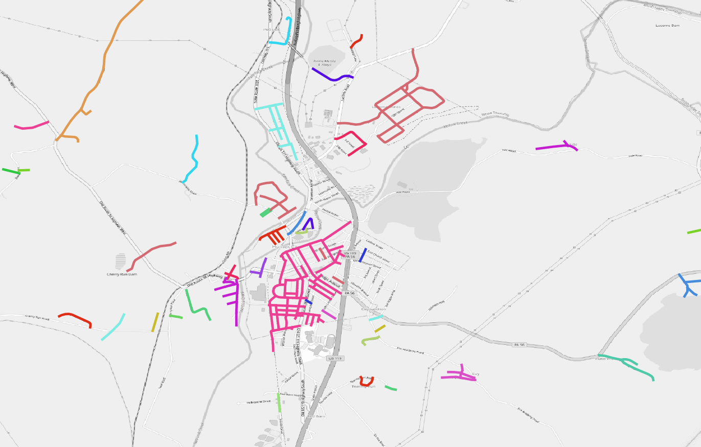
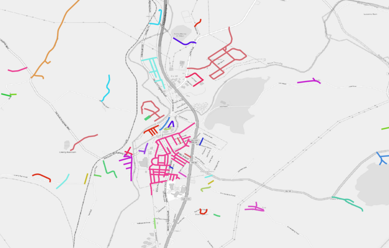
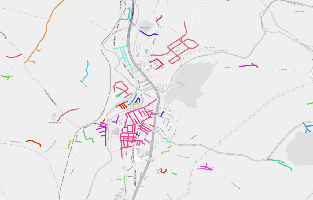
| Description | Large scale map of rural Pennsylvania showing clusters of unmodified TIGER roads (approx co-ords -79.16123,40.5210) |
|---|---|
| Author | SK53 |
| Source | OpenStreetMap |
| Date | 2023-10-20 |
Licensing
| Contains map data © OpenStreetMap contributors, made available under the terms of the Open Database License (ODbL).
The ODbL does not require any particular license for maps produced from ODbL data, produced maps may be subject also to other licences. |
File history
Click on a date/time to view the file as it appeared at that time.
| Date/Time | Thumbnail | Dimensions | User | Comment | |
|---|---|---|---|---|---|
| current | 17:05, 20 October 2023 | | 1,371 × 875 (359 KB) | SK53 (talk | contribs) | {{Information | description=Large scale map of rural Pennsylvania showing clusters of unmodified TIGER roads (approx co-ords -79.16123,40.5210) | source=OpenStreetMap | date=2023-10-20 | author=SK53 | other_versions= }} |
You cannot overwrite this file.
File usage
There are no pages that use this file.