File:Parchuru Mandal shape validation.png
Jump to navigation
Jump to search


Size of this preview: 800 × 537 pixels. Other resolutions: 320 × 215 pixels | 640 × 430 pixels | 1,125 × 755 pixels.
Original file (1,125 × 755 pixels, file size: 312 KB, MIME type: image/png)
Summary
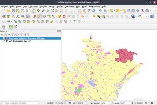
Parchuru mandal shape created using revenue village borders from https://bhuvan-app1.nrsc.gov.in/bhuvan2d/bhuvan/bhuvan2d.php# as guidance validated by superimposing on a standard map product of Bhuvan for Prakasam district
File history
Click on a date/time to view the file as it appeared at that time.
| Date/Time | Thumbnail | Dimensions | User | Comment | |
|---|---|---|---|---|---|
| current | 10:33, 14 October 2019 | | 1,125 × 755 (312 KB) | Arjunaraoc (talk | contribs) | noticed incorrect shape fixed it |
| 09:45, 14 October 2019 | 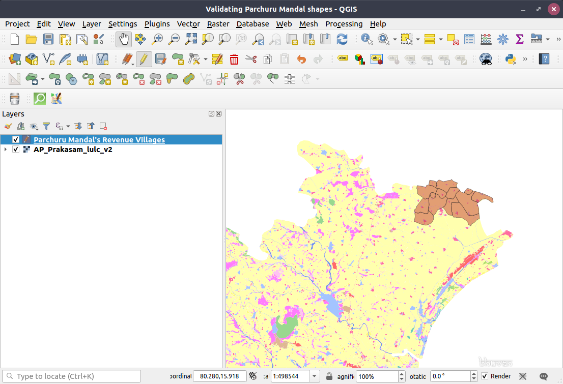 | 1,106 × 755 (309 KB) | Arjunaraoc (talk | contribs) | Parchuru mandal shape created using revenue village borders from https://bhuvan-app1.nrsc.gov.in/bhuvan2d/bhuvan/bhuvan2d.php# as guidance validated by superimposing on a standard map product of Bhuvan for Prakasam district |
You cannot overwrite this file.
File usage
The following page uses this file: