File:Philippines GPS points raw.png
Jump to navigation
Jump to search

Size of this preview: 360 × 600 pixels. Other resolutions: 144 × 240 pixels | 480 × 800 pixels.
Original file (480 × 800 pixels, file size: 193 KB, MIME type: image/png)
Information
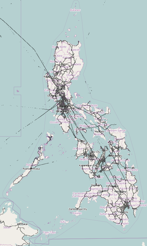
| Description | This is a raw point map showing the GPS data points in and around the Philippines that have been submitted to OpenStreetMap. |
|---|---|
| Author | Screenshot by seav |
| Source | tiled map of GPX points by Ilya Zverev |
| Date | 2012-09-17 |
| Permission | CC-BY-SA 2.0 |
| Other versions | 
|
File history
Click on a date/time to view the file as it appeared at that time.
| Date/Time | Thumbnail | Dimensions | User | Comment | |
|---|---|---|---|---|---|
| current | 16:59, 16 September 2012 | | 480 × 800 (193 KB) | Seav (talk | contribs) | ==Information== {{Information |Description = This is a raw point map showing the [http://planet.openstreetmap.org/gps/ GPS data points] in and around the Philippines that [http://www.openstreetmap.org/traces have been submitted] to OpenStreetMap. |Sour |
You cannot overwrite this file.
File usage
The following 2 pages use this file: