File:PortStMary IsleofMan.png
Jump to navigation
Jump to search

No higher resolution available.
PortStMary_IsleofMan.png (641 × 496 pixels, file size: 63 KB, MIME type: image/png)
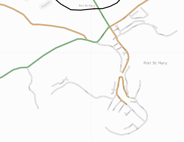
Snapshot of Port St Mary, Isle of Man from 6th November 2006. Vast majority mapped by Rob Mercer
Map of Port St Mary
This map and others like it, were created by OpenStreetmap contributors, and are licensed as Creative Commons CC-BY-SA 2.0 (https://creativecommons.org/licenses/by-sa/2.0/) (see OpenStreetMap licence).
Use {{mapof|PlaceName}} to add this template to your images.
This map and others like it, were created by OpenStreetmap contributors, and are licensed as Creative Commons CC-BY-SA 2.0 (https://creativecommons.org/licenses/by-sa/2.0/) (see OpenStreetMap licence).
Use {{mapof|PlaceName}} to add this template to your images.
File history
Click on a date/time to view the file as it appeared at that time.
| Date/Time | Thumbnail | Dimensions | User | Comment | |
|---|---|---|---|---|---|
| current | 21:28, 6 November 2006 | | 641 × 496 (63 KB) | Dankarran (talk | contribs) | Snapshot of Port St Mary, Isle of Man from 6th November 2006. Vast majority mapped by Rob Mercer {{mapof|Port St Mary}} |
You cannot overwrite this file.
File usage
There are no pages that use this file.