File:Power Network in Luxembourg After Focused Mapping Effort.png
Jump to navigation
Jump to search

Size of this preview: 435 × 599 pixels. Other resolutions: 174 × 240 pixels | 348 × 480 pixels | 868 × 1,196 pixels.
Original file (868 × 1,196 pixels, file size: 979 KB, MIME type: image/png)
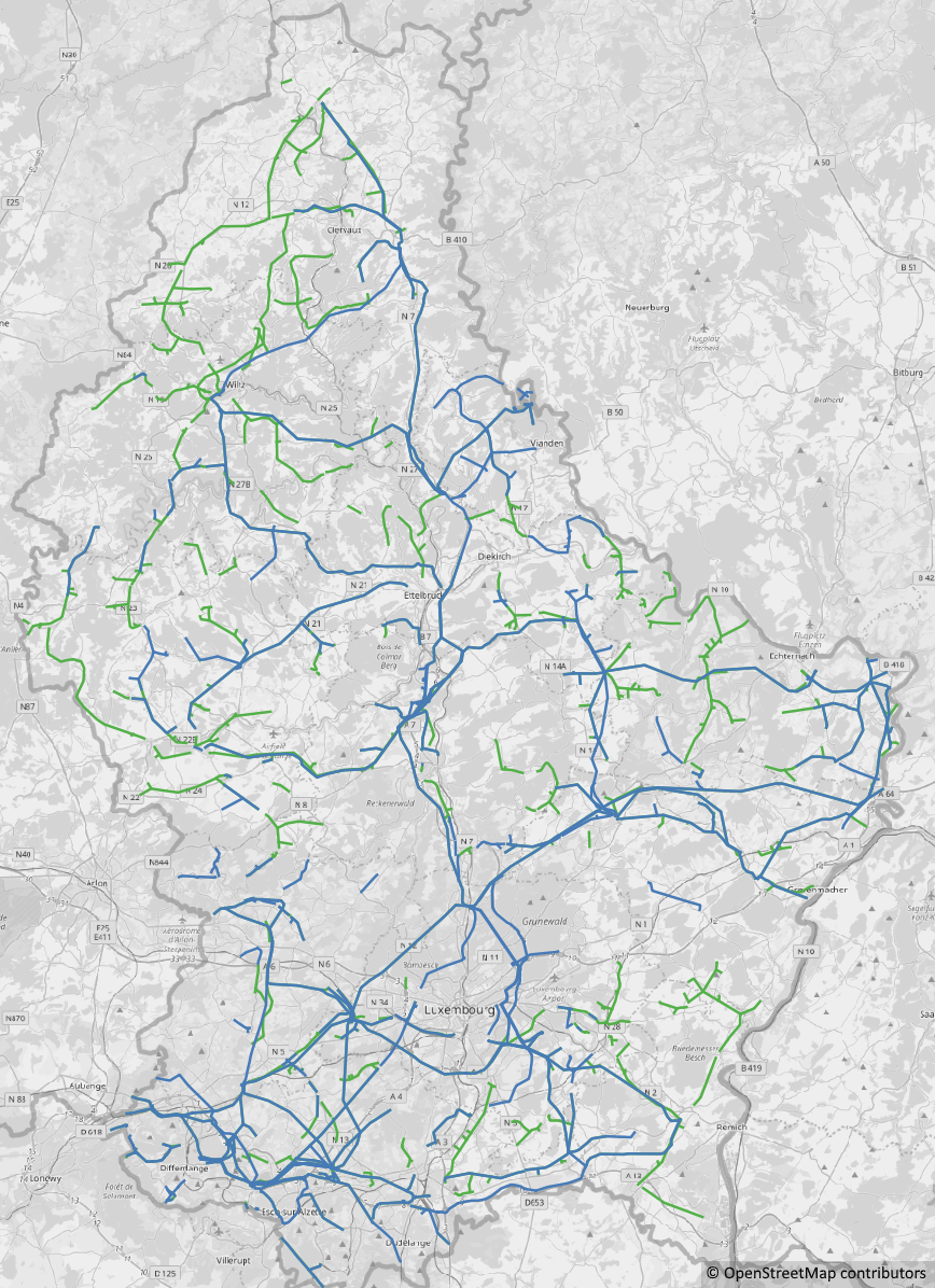
Visualization of the electrical power network in Luxembourg (January 2019) after a focused mapping effort that started around August 2018. The newly added power lines are drawn in green and the existing power lines are drawn in blue.
File history
Click on a date/time to view the file as it appeared at that time.
| Date/Time | Thumbnail | Dimensions | User | Comment | |
|---|---|---|---|---|---|
| current | 14:22, 10 January 2019 | | 868 × 1,196 (979 KB) | Dmlu (talk | contribs) |
You cannot overwrite this file.
File usage
The following page uses this file: