File:Rough-edges.jpg
Jump to navigation
Jump to search


Size of this preview: 800 × 450 pixels. Other resolutions: 320 × 180 pixels | 640 × 360 pixels | 1,024 × 576 pixels | 1,422 × 800 pixels.
Original file (1,422 × 800 pixels, file size: 150 KB, MIME type: image/jpeg)
Summary
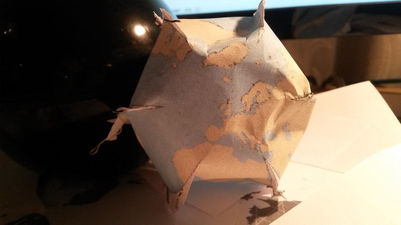
First attempt at a OpenStreetMap globe by Hawkeye - osm profile. Based on D3-geo javascript projection library. Using topojson file of OpenStreetMap land data. Data is copyright OpenStreetMap contributors -under licence ODbL http://www.openstreetmap.org/copyright
Licensing
![]()
![]()
![]()
This work is licensed under the Creative Commons Attribution-ShareAlike 2.0 License.
Attribution not specified as a parameter! THIS LICENSE ALWAYS REQUIRES ATTRIBUTION! Use {{CC-BY-SA-2.0|Attribution, typically name of author}} See Template:CC-BY-SA-2.0 for full description how this template should be used.
Note, there is
There is also
Attribution not specified as a parameter! THIS LICENSE ALWAYS REQUIRES ATTRIBUTION! Use {{CC-BY-SA-2.0|Attribution, typically name of author}} See Template:CC-BY-SA-2.0 for full description how this template should be used.
Note, there is
{{CC-BY-SA-2.0 OpenStreetMap}} for files based on old OSM map data, before the license change made on 2012-09-12.There is also
{{OSM Carto screenshot||old_license}} for files based on old OSM map data, before the license change made on 2012-09-12, created using OSM Carto map style.
File history
Click on a date/time to view the file as it appeared at that time.
| Date/Time | Thumbnail | Dimensions | User | Comment | |
|---|---|---|---|---|---|
| current | 17:55, 12 November 2014 | | 1,422 × 800 (150 KB) | Hawkeyes (talk | contribs) | First attempt at a OpenStreetMap globe by Hawkeye - osm profile. Based on D3-geo javascript projection library. Using topojson file of OpenStreetMap land data. Data is copyright OpenStreetMap contributors -under licence ODbL http://www.openstreetmap.or... |
You cannot overwrite this file.
File usage
There are no pages that use this file.