File:Ru Location underwater.png
Jump to navigation
Jump to search

No higher resolution available.
Ru_Location_underwater.png (350 × 517 pixels, file size: 9 KB, MIME type: image/png)
Summary
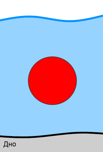
Image describes objects located under water. Caption written on russian language. Картинка описывает объекты, которые находится под водой.
Licensing
![]()
![]()
![]()
This work is licensed under the Creative Commons Attribution-ShareAlike 4.0 License.
Attribution not specified as a parameter! THIS LICENSE ALWAYS REQUIRES ATTRIBUTION! Use {{CC-BY-SA-4.0|Attribution, typically name of author}} See Template:CC-BY-SA-4.0 for full description this template should be used.
Attribution not specified as a parameter! THIS LICENSE ALWAYS REQUIRES ATTRIBUTION! Use {{CC-BY-SA-4.0|Attribution, typically name of author}} See Template:CC-BY-SA-4.0 for full description this template should be used.
File history
Click on a date/time to view the file as it appeared at that time.
| Date/Time | Thumbnail | Dimensions | User | Comment | |
|---|---|---|---|---|---|
| current | 17:49, 15 October 2020 | | 350 × 517 (9 KB) | Grass-snake (talk | contribs) | Image describes objects located under water. Caption written on russian language. Картинка описывает объекты, которые находится под водой. |
You cannot overwrite this file.
File usage
The following 2 pages use this file: