File:Scafell steep paths.png
Jump to navigation
Jump to search

Size of this preview: 705 × 599 pixels. Other resolutions: 282 × 240 pixels | 565 × 480 pixels | 903 × 768 pixels | 1,029 × 875 pixels.
Original file (1,029 × 875 pixels, file size: 208 KB, MIME type: image/png)
Summary
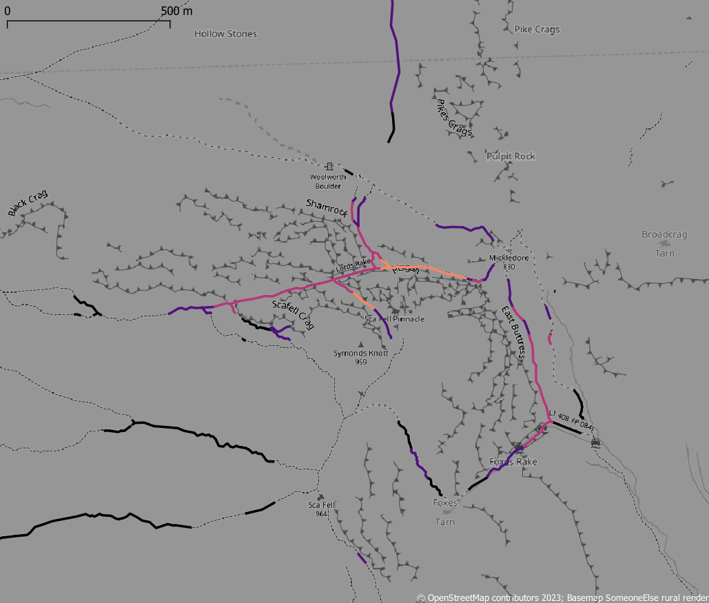
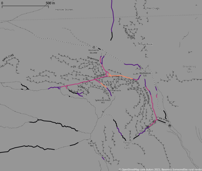
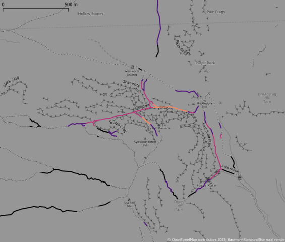
| Description | Steep paths around Scafell in the English Lake District (brighter - steeper) |
|---|---|
| Author | SK53 |
| Source | OpenStreetMap; OS OpenData Terrain50 |
| Date | 2003-01-08 |
Licensing
| Contains map data © OpenStreetMap contributors, made available under the terms of the Open Database License (ODbL).
The ODbL does not require any particular license for maps produced from ODbL data, produced maps may be subject also to other licences. |
File history
Click on a date/time to view the file as it appeared at that time.
| Date/Time | Thumbnail | Dimensions | User | Comment | |
|---|---|---|---|---|---|
| current | 13:47, 8 January 2023 | | 1,029 × 875 (208 KB) | SK53 (talk | contribs) | {{Information | description=Steep paths around Scafell in the English Lake District (brighter - steeper) | source=OpenStreetMap; OS OpenData Terrain50 | date=2003-01-08 | author=SK53 | other_versions= }} |
You cannot overwrite this file.
File usage
There are no pages that use this file.