File:The Last Ship S01E10 at 06.08.jpg
Jump to navigation
Jump to search


Size of this preview: 800 × 450 pixels. Other resolutions: 320 × 180 pixels | 640 × 360 pixels | 1,280 × 720 pixels.
Original file (1,280 × 720 pixels, file size: 209 KB, MIME type: image/jpeg)
Summary
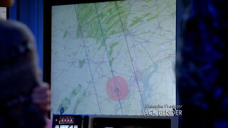
| Description | OpenStreetMap in the TV series The Last Ship S01E10 at 06.08 |
|---|---|
| Author | |
| Source |
Licensing
| Contains map data © OpenStreetMap contributors, made available under the terms of the Open Database License (ODbL).
The ODbL does not require any particular license for maps produced from ODbL data, produced maps may be subject also to other licences. |
File history
Click on a date/time to view the file as it appeared at that time.
| Date/Time | Thumbnail | Dimensions | User | Comment | |
|---|---|---|---|---|---|
| current | 10:17, 4 October 2022 | | 1,280 × 720 (209 KB) | The RedBurn (talk | contribs) | {{Information | description=OpenStreetMap in the TV series The Last Ship S01E10 at 06.08 | source= | date= | author= | permission= | other_versions= }} |
You cannot overwrite this file.
File usage
The following page uses this file: