File:Trail visibility really no.jpg
Jump to navigation
Jump to search


Size of this preview: 800 × 533 pixels. Other resolutions: 320 × 213 pixels | 640 × 427 pixels | 960 × 640 pixels.
Original file (960 × 640 pixels, file size: 269 KB, MIME type: image/jpeg)
Summary
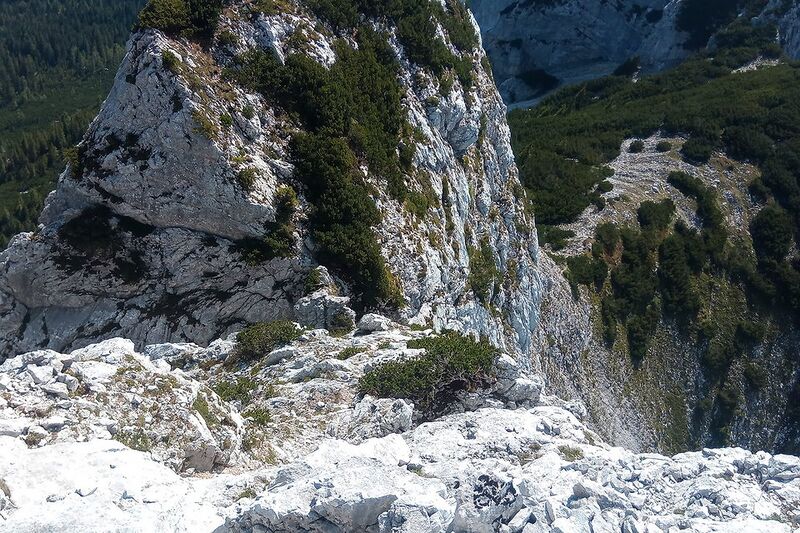
| Description | View from close to summit of Mittlere Arnspitze on traversed terrain |
|---|---|
| Author | Hungerburg |
| Source | Foto |
| Date | 2021-08-12 |
Licensing
![]()
![]()
This work is licensed under the Creative Commons Attribution 4.0 License.
Attribution: Hungerburg
Attribution: Hungerburg
File history
Click on a date/time to view the file as it appeared at that time.
| Date/Time | Thumbnail | Dimensions | User | Comment | |
|---|---|---|---|---|---|
| current | 23:04, 22 May 2023 | | 960 × 640 (269 KB) | Hungerburg (talk | contribs) | {{Information | description= | source= | date= | author= | other_versions= }} |
You cannot overwrite this file.
File usage
The following 3 pages use this file: