File:Wales mapping planning.png
Jump to navigation
Jump to search

Size of this preview: 800 × 426 pixels. Other resolutions: 320 × 170 pixels | 640 × 341 pixels | 1,057 × 563 pixels.
Original file (1,057 × 563 pixels, file size: 232 KB, MIME type: image/png)
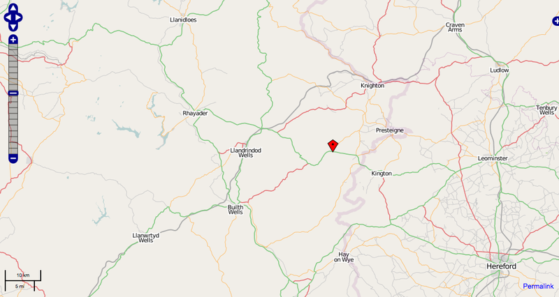
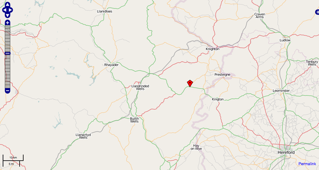
A screenshot of the area around the cottage for the wales weekend
File history
Click on a date/time to view the file as it appeared at that time.
| Date/Time | Thumbnail | Dimensions | User | Comment | |
|---|---|---|---|---|---|
| current | 08:28, 8 September 2008 | | 1,057 × 563 (232 KB) | Nickb (talk | contribs) | A screenshot of the area around the cottage for the wales weekend |
You cannot overwrite this file.
File usage
The following page uses this file: