File:World.topo.bathy.garminmaps.jpg
Jump to navigation
Jump to search

Size of this preview: 800 × 400 pixels. Other resolutions: 320 × 160 pixels | 640 × 320 pixels | 1,024 × 512 pixels.
Original file (1,024 × 512 pixels, file size: 117 KB, MIME type: image/jpeg)
Summary
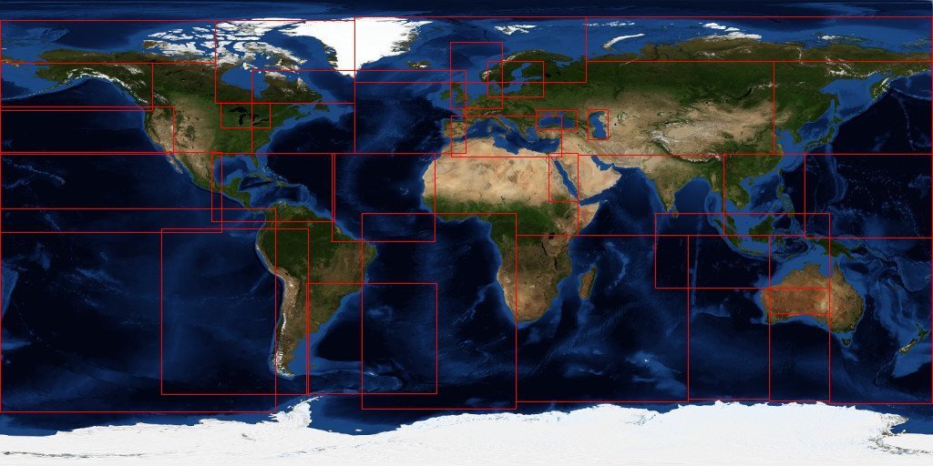
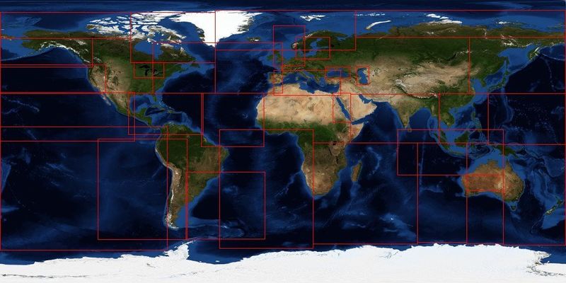
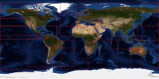
shows bounding boxes of all the Openseamap Garmin maps
Licensing
![]()
This file has been released into the public domain by the copyright holder, its copyright has expired, or it is ineligible for copyright. This applies worldwide.
Please, please use more specific template such as {{PD-self}} / {{PD-creator}} / {{PD-shape}} / {{PD-USGov}} / {{PD-old}} / {{PD-RU-exempt}} ... This template is not making clear why this work is in the public domain.
Please, please use more specific template such as {{PD-self}} / {{PD-creator}} / {{PD-shape}} / {{PD-USGov}} / {{PD-old}} / {{PD-RU-exempt}} ... This template is not making clear why this work is in the public domain.
File history
Click on a date/time to view the file as it appeared at that time.
| Date/Time | Thumbnail | Dimensions | User | Comment | |
|---|---|---|---|---|---|
| current | 07:33, 19 December 2014 | | 1,024 × 512 (117 KB) | Zenfunk (talk | contribs) | shows bounding boxes of all the Openseamap Garmin maps |
You cannot overwrite this file.
File usage
The following file is a duplicate of this file (more details):
- File:OpenSeaMap-Garmin-Charts.jpg from Wikimedia Commons
There are no pages that use this file.