File:Wroxall.png
Jump to navigation
Jump to search

No higher resolution available.
Wroxall.png (500 × 481 pixels, file size: 35 KB, MIME type: image/png)
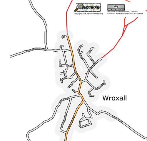
Map of Wroxall, Isle of Wight, as at 1 July 2006. All roads complete, some footpaths left to complete.
File history
Click on a date/time to view the file as it appeared at that time.
| Date/Time | Thumbnail | Dimensions | User | Comment | |
|---|---|---|---|---|---|
| current | 10:51, 1 July 2006 | | 500 × 481 (35 KB) | Dmgroom (talk | contribs) | Map of Wroxall, Isle of Wight, as at 1 July 2006. All roads complete, some footpaths left to complete. |
You cannot overwrite this file.
File usage
There are no pages that use this file.