Lahti/Aerial
< Lahti(Redirected from Finland:Lahti/Aerial)
Jump to navigation
Jump to search
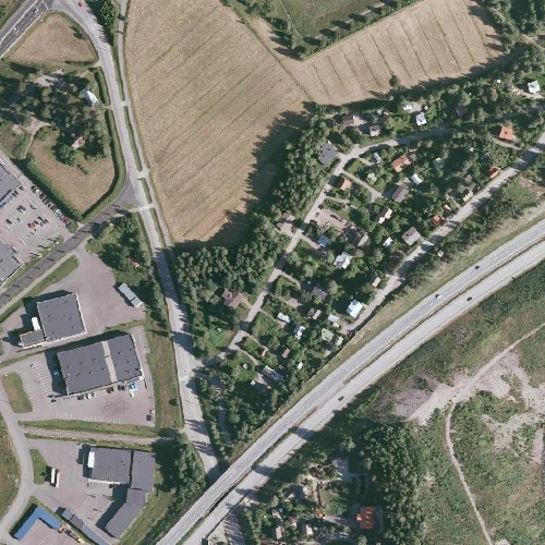
Aerial imagery from Lahti
There is very precise aerial imagery available from Lahti.
Lahti maankäyttö has granted OSM project rights to draw map based on their aerial imagery.
Aerial imagery is just for OSM use so they are not available for example in OpenAerialMap (or like).
Some contributors are sharing images that can be inserted to WMS plugin in JOSM.
- Please tag every changeset where you commit data based on this aerial imagery with source=Lahti aerial.
- You can ask address of the WMS-server at #osm-fi @ OFTC
Results
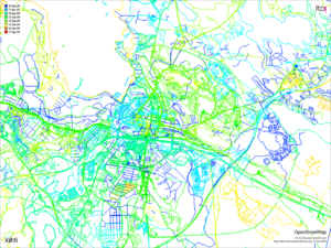
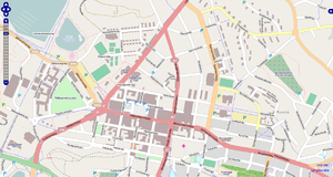
Below is some examples and highlights what the imagery has made possible. The list is not exhaustive, of course.
- See also edit history.
- Some stuff from Daeron: http://elanor.mine.nu/daeron/users/Lahti/
Day 1
- Industrial zone in great detail (kenkku)
- Hennalan kasarmialue (Pfr)
- Hollolan kuntakeskus (Nikerabbit)
- järvien rantoja tarkennettu Kymijärvi, Tuntematon järvi
- rautateitä tarkennettu ja lisätty Sopenkorven lähellä, [lisää esimerkki]
- joki (Nikerabbit)
- taloja, pyöräteitä, asuinalueita [lisää esimerkki?]...
- Lahden keskustaan ilmestyi taloja, kenttiä yms. (ninnnu)
Day 2
- More Hennalan kasarmialue
- Kartanon länsipuolta: taloja ja maankäyttöä ja sähköä (Nikerabbit)
- Pirttiharjun taloja (ninnnu)
- Asuinalue renkomäessä (kenkku)
- Asemantausta (Pfr)
- Ratapiha (Daeron)
- Orimattilan kylä Pasina (Daeron)
- Keskussairaala (Daeron)
Day 3
- Lisää rakennuksia ja maankäyttöä keskustaan (Pfr)
- ilmakuvien luoteisosa (Nikerabbit, Daeron, diibadaaba)
- Sähkölinjoja (ij)
Day 4
- ilmakuvien kattama alue (Daeron)
- Heinämäentie (alv)
- Pohjois-Hollolaa (Medar)
Day 5
Day 6
- Radan pohjoispuolta (Nikerabbit)
Day 7
- Launeen taloja (JRA2)
- Korpi- ja Rautakankareen maankäyttö
- Ruoriniemi (ij_?)
Day 8
- Katveenkatu (kallam)
Day 9
- Takalantie (Nikerabbit)
- Vanhatalon asuinaluetta (Nikerabbit, Daeron)
- Tarkennusta Hollolan kuntakeskukseen (Daeron)
- Asemantausta (?)
- Maankäytön tarkennusta (Daeron)
Day 10
- Asuinalue Porvoonjoentien varrella (kallam)
Day 12
2009-12-16
- Asuinaluetta Hollolassa (Nikerabbit)


