Foss Walk
Jump to navigation
Jump to search
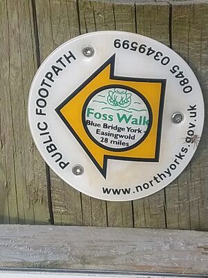
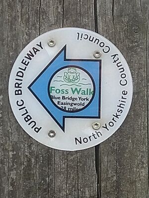
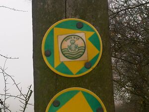
The Foss Walk (or as the pictures on some of the signposts call it, the Foss Way) runs alongside the River Foss from its confluence with the Ouse at Blue Bridge to its source near Easingwold.
Old-style sign
Progress
It's been walked several times. The relation in OSM is [1], and contains most of the route markers as well as the route. As of 2021, route markers are being refreshed, so there may be more to find and add. As can be seen from the "rogue" route marker locations, the route has moved over the years, and some old ones remain.
Links
LDWA: [2]


