Geofabrik OSM History tool
The Geofabrik OSM History tool was operated by User:Frederik Ramm of Geofabrik and located at http://labs.geofabrik.de/history . It was a service that could be used to create animated GIF images for any bounding box, showing how OSM coverage of an area had developed over time.
| This service is no longer available, since 2015 |
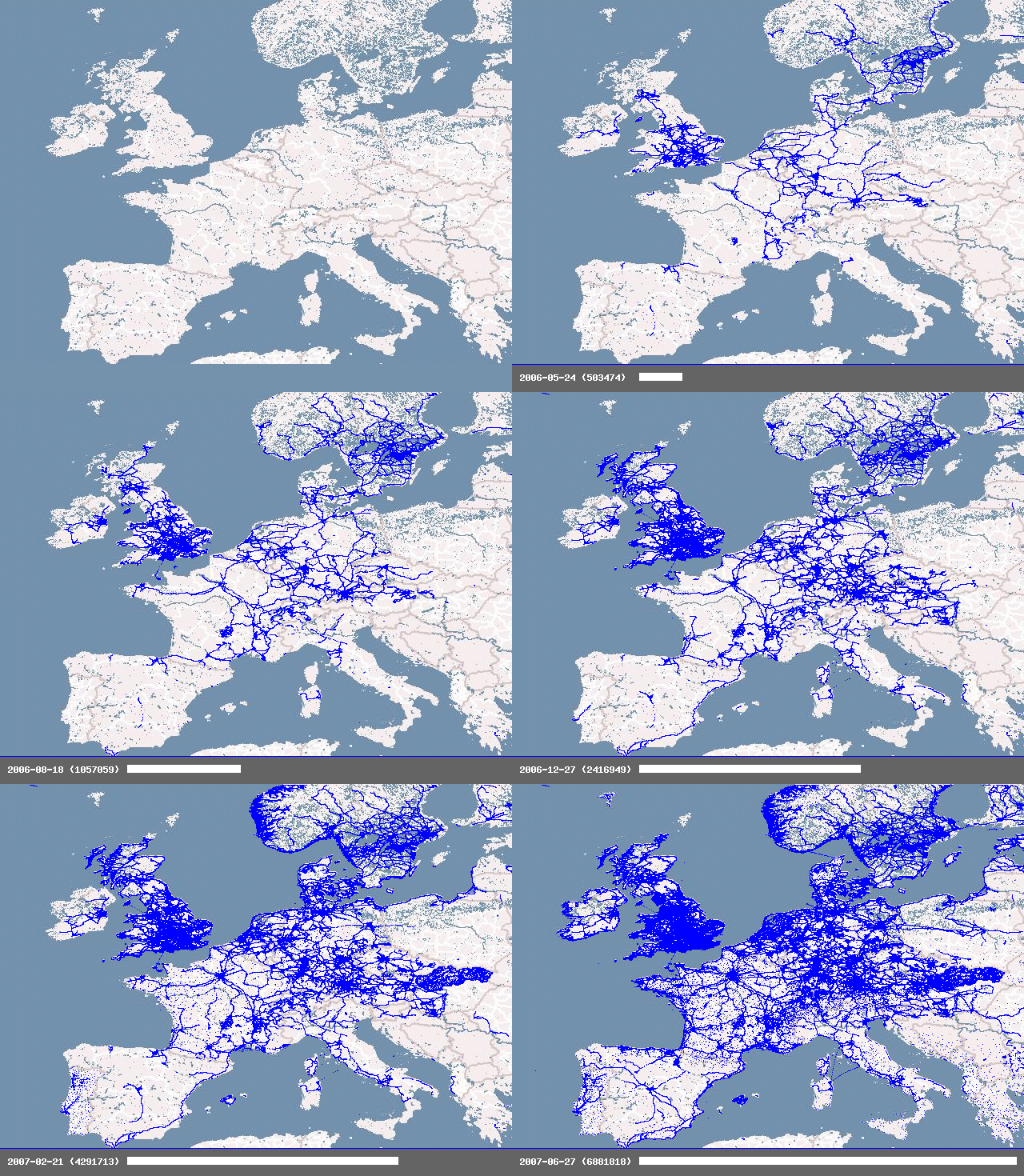
Created mid-2007 this was an early rendering system producing low-zoom simple coverage renderings from a MySQL database. Here's an example of Europe (the animation may only be visible after you click on the image and load the full-size version):
You could influence the style of image generated using some parameters (projection, background image, colour and size of dots, etc.) and select the time range for which you wanted the image to be generated. The database was updated with data from the newest planet file each week.
The source code for the "history service" is available in the OSM SVN (https://svn.openstreetmap.org/applications/rendering/history/) and is in the Public Domain.
See also:
- https://github.com/MaZderMind/osm-history-renderer
- Derick Rethan's talk at SotM 2013 in Birmingham: http://lanyrd.com/2013/sotm/scpkgh/
- https://www.openstreetmap.org/user/yogi_ks/diary/35067 ... a blog posting about "Karnataka 01/2007 to 12/2014: OSM Map Evolution" and its visualisation.
