
National Highway Map of India
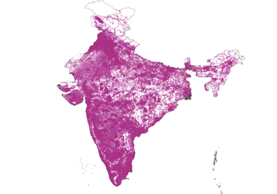
Roads mapped on OSM until February 2021
Indian road network is administered by various government authorities, given India's federal form of government. The following table shows the total length of India's road network by type of road as on 31 March 2019.
| Road classification |
Authority responsible
|
Length (km)
|
Share of network length
|
| National Highways |
Ministry of Road Transport and Highways
|
1,32,499
|
2.09 %
|
| State Highways |
Public Works Department of State/Union Territory
|
1,79,535
|
2.84 %
|
| District roads
|
Public Works Department of State/Union Territory
|
6,12,778
|
9.68 %
|
| Rural roads |
Panchayats, JRY and PMGSY
|
45,22,228
|
71.42 %
|
| Urban roads |
Local governments and municipalities
|
5,41,554
|
8.55 %
|
| Project roads
|
Various State/Union territory government departments, and SAIL, NMDC and BRO
|
3,43,163
|
5.42 %
|
| Total
|
N/A
|
63,31,757
|
100 %
|
Tagging scheme
National highways
| No
|
State
|
Network tag
|
Length official
|
Length in OSM
|
Next Task
|
Status
|
|
|
Jharkhand-NH
|
IN:NH:JH
|
|
|
|
|
State highways
| No
|
State
|
Network tag
|
Length official
|
Length in OSM
|
Next Task
|
Status
|
|
|
Jharkhand-SH
|
IN:SH:JH
|
1231.9 km
|
976,735 km
|
|
|
District Roads
Major district roads and Other district roads.
| No
|
State
|
Network tag
|
Length official
|
Length in OSM
|
|
|
Jharkhand-MDR
|
IN:MDR:JH
|
|
|
Urban Roads
| No
|
State
|
Network tag
|
Length Official
|
Length in OSM
|
|
|
Jharkhand-UR
|
IN:UR:JH
|
|
|
Rural Roads
| No
|
State
|
Network tag
|
Length Official
|
Length in OSM
|
| 1
|
Jharkhand-RR
|
IN:RR:JH
|
|
|
Collaboration with Wikipedia
See Wikipedia:WikiProject Indian roads.
Metrics

