Key:communication:satellite
Jump to navigation
Jump to search
 |
| Description |
|---|
| Communication via satellite. |
| Group: communications |
| Used on these elements |
| Requires |
| Useful combination |
| See also |
| Status: in use |
| Tools for this tag |
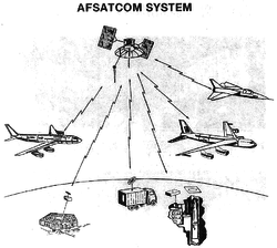
The tag communication:satellite=* is added to a feature to specify that it is for satellite communication.
Currently mostly used for tower:type=communication, but many more features could be combined.
See also
LOADING TAG LIST...