Key:ticks
Jump to navigation
Jump to search
 |
| Description |
|---|
| Probability (danger) of encounter with a tick |
| Group: hazards |
| Used on these elements |
| Status: in use |
| Tools for this tag |
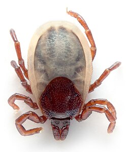
Probability (danger) of encounter with a tick (Ticks can carry dangerous deseases)
Values
0 = no,tarmac,gravel
1 = forest, vegetation on the track is possible to avoid
2 = little vegetation but predominantly (except max. 10 metres long section) possible to avoid (safe in late autumn)
3 = little vegetation but possible to avoid in low season - spring
4 = you can't avoid the contact with vegetation even in the spring ( safe in winter )
5 = brush, high grass etc