Mapgenerator
Jump to navigation
Jump to search
Mapgeneration [1] is a tool which is able to trace data from NMEA output. The different traces can be merged together in an automatic way. No hand drawing is required.
Example
cat trace.nmea | nc localhost 9000 -q 0
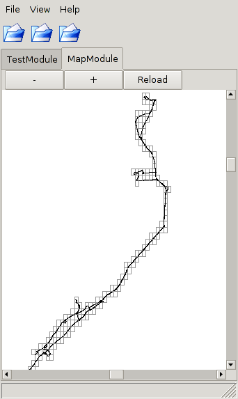
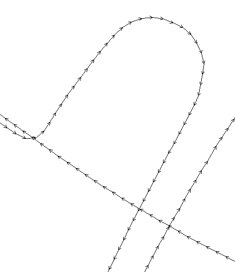
This command sends trace.nmea to the mapgenerator traceserver. If the nmea trace is within specified parameters in the configuration, the road will be extended in the driving direction. A reload button on the gui-client allows a user to update his trace. The gui called mgg makes a connection to the server showing only a line with arrows. No fancy maps as backgrounds, like josm, plain and simple but viewing only.

