Millennium Trail, Surrey
The Millennium Trail is an 18 mile linear walk from Banstead Downs to Riverside Garden Park in Horley.
It was created by the Reigate and Banstead Borough Council.
Leaflets for the main walk, and for six circular walks that intersect with it, are available from the Council or from the Downlands Project.
Details of the walks (and some PDF maps) are available from the Reigate and Banstead Council website:
Millenium Trail, split into north [1] and south [2] sections.
And the six circular walks off the main trail:
- Town and Down Circular Walk (Banstead) [3]
- Shabden and Upper Gatton Parks Circular Walk [4]
- North Downs Ridge Circular Walk [5]
- Tatton Winter Circular Walk [6]
- Earlswood Common Circular Walk [7]
- East Horley Circular Walk [8]
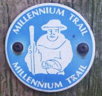
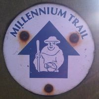
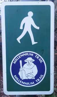
The initial section of the trail is very well signed, and could easily be walked just by following the sign markers, with no aids.
This also includes the first two circular walks (Town and Down and Shabden and Upper Gatton).
Other parts of the trail are not as well signed, and in portions are quite poorly marked, and you would need to take a guide or map with you. The other circular walks are not signed.
There are three slightly different styles of markers used for the Millennium Trail. The last is only seen in-town.


