Uploads by Jeisenbe
Jump to navigation
Jump to search
This special page shows all uploaded files.
| Date | Name | Thumbnail | Size | Description | Versions |
|---|---|---|---|---|---|
| 07:33, 5 March 2021 | JOSM example estimating width.png (file) |  |
143 KB | 1 | |
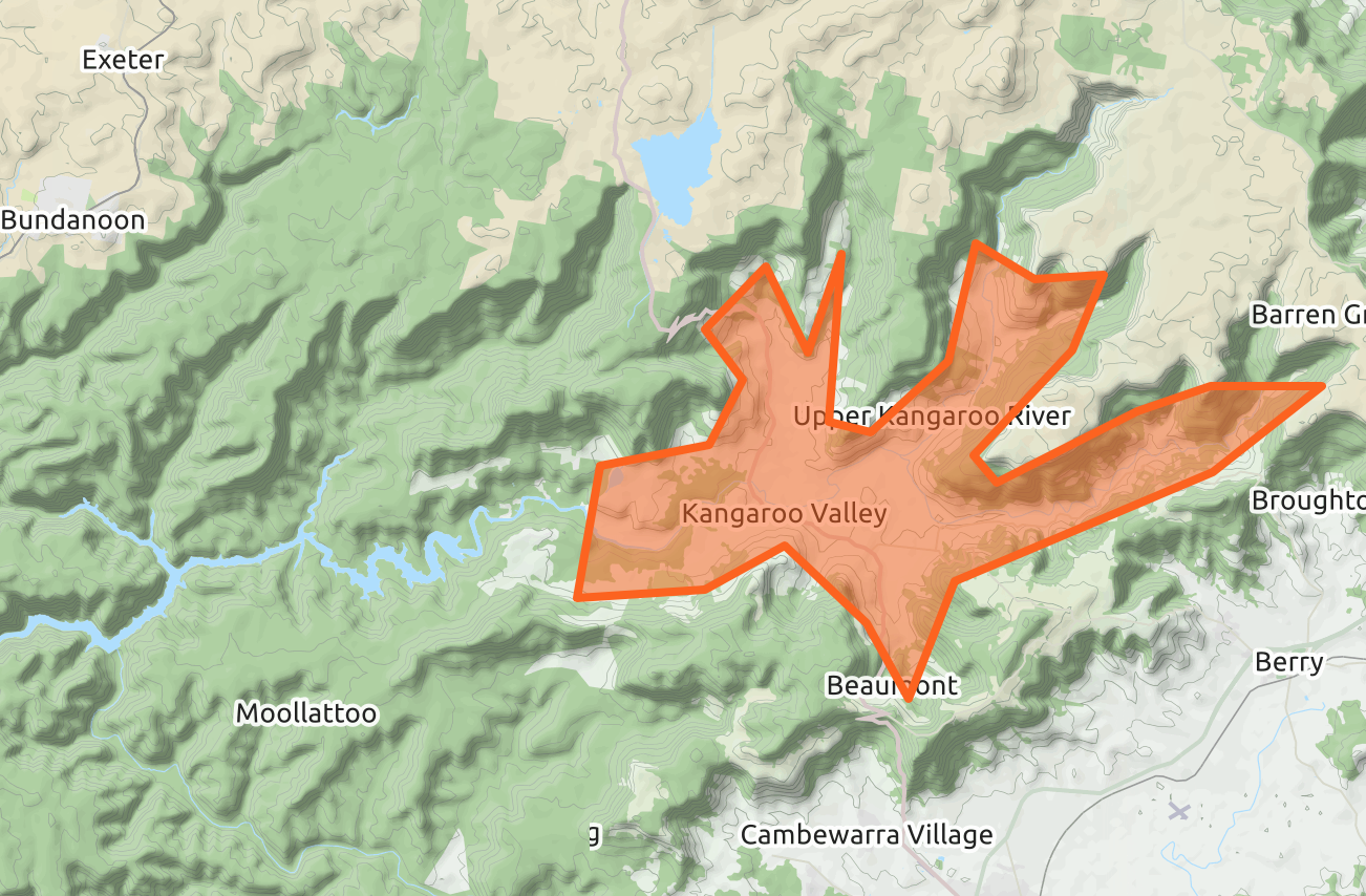
| 07:45, 29 December 2020 | Kangaroo Valley rough area.png (file) |  |
1.27 MB | 1 | |
| 19:34, 19 June 2020 | Wood ac.png (file) |  |
46 KB | 1 | |
| 01:01, 28 April 2020 | Amenity-pharmacy-taghistory.png (file) |  |
40 KB | 1 | |
| 12:29, 19 September 2019 | Pangkalan ojek Sinakma.jpg (file) |  |
155 KB | 1 | |
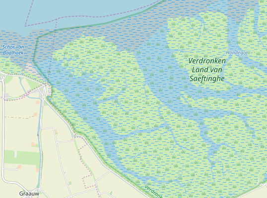
| 12:01, 10 June 2019 | Verdronken Land van Saeftringhe salt marsh.png (file) |  |
170 KB | 1 | |
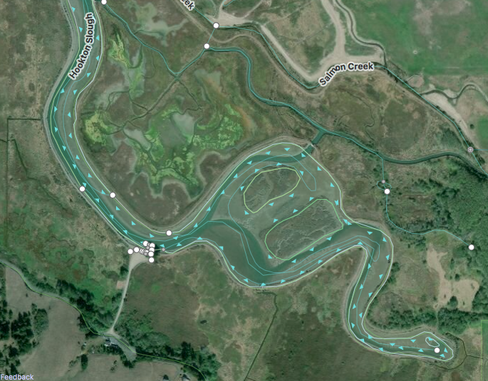
| 11:53, 10 June 2019 | Hookton Slough in iD editor.png (file) |  |
711 KB | 1 | |
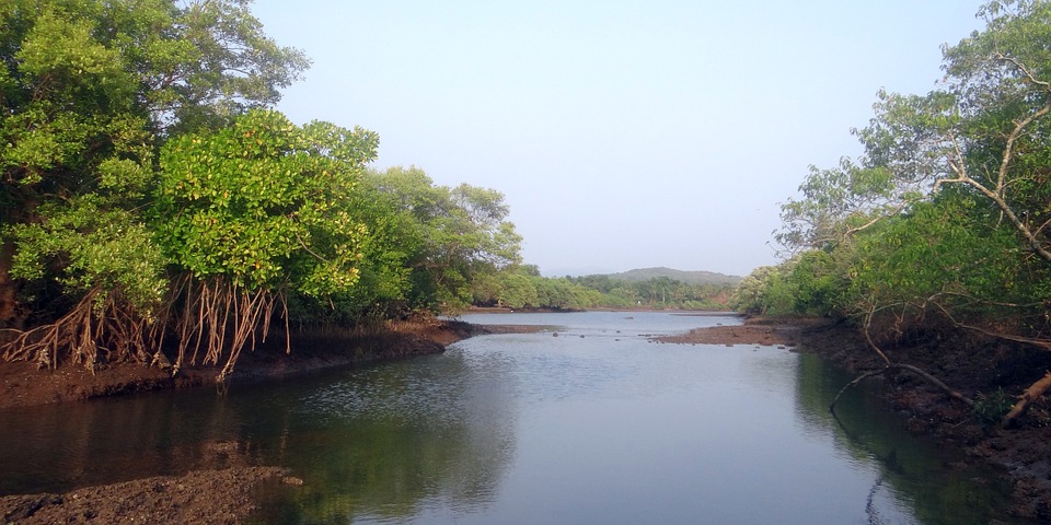
| 11:50, 10 June 2019 | Mangrove-species.jpg (file) |  |
155 KB | 1 | |
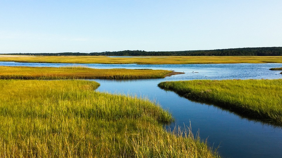
| 11:49, 10 June 2019 | Salt Marsh tidal channels.jpg (file) |  |
189 KB | 1 | |
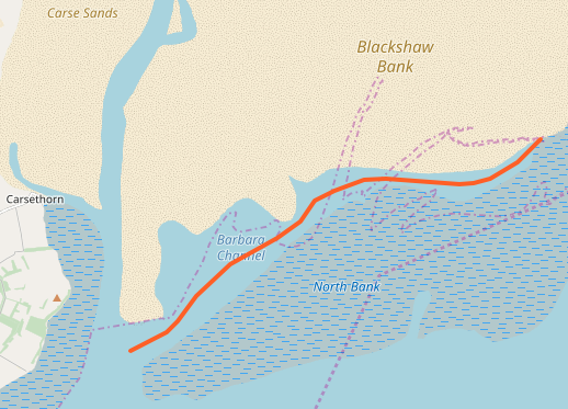
| 05:16, 6 June 2019 | Barbara-channel-openstreetmap-carto-current.png (file) |  |
112 KB | 1 | |
| 05:13, 6 June 2019 | Cabbage-creek-Wells-England-Openstreetmap-carto.png (file) |  |
145 KB | 1 | |
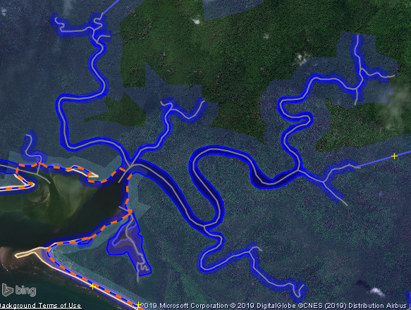
| 04:58, 6 June 2019 | Mangroves-tidal-channels-josm-example-5km-4km-papua-indonesia.png (file) |  |
574 KB | 1 | |
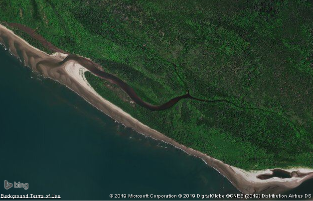
| 04:56, 6 June 2019 | Tidal-channel--in-mangroves-example-from-Bing-aerial-imagery.png (file) |  |
420 KB | 1 | |
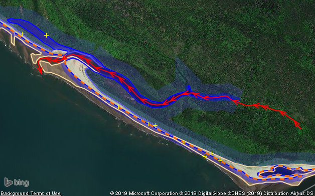
| 04:37, 6 June 2019 | JOSM-example-mapping-tidal-channel-in-mangroves.png (file) |  |
436 KB | 1 | |
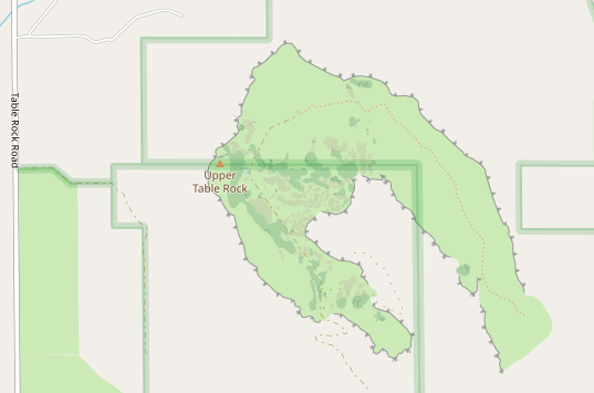
| 11:19, 27 April 2019 | Z14-upper-table-rock-openstreetmap-carto.png (file) |  |
69 KB | 1 | |
| 11:11, 27 April 2019 | Lower-table-rock-outline-aerial-imagery.png (file) |  |
196 KB | 1 | |
| 06:44, 27 April 2019 | Z13-russia-ridges-test-rendering.png (file) |  |
166 KB | 1 | |
| 06:29, 27 April 2019 | Z15-cerro-de-los-huertos-ridges.png (file) |  |
228 KB | 1 | |
| 06:10, 27 April 2019 | Z16-crete-du-liou-opencyclemap-zoomed-out.png (file) |  |
179 KB | 1 | |
| 06:04, 27 April 2019 | Druim-Eileasaig-z14-opencyclemap.png (file) |  |
318 KB | 1 | |
| 06:02, 27 April 2019 | Walker-Ridge-z14-from-Opencyclemap.png (file) |  |
350 KB | 1 | |
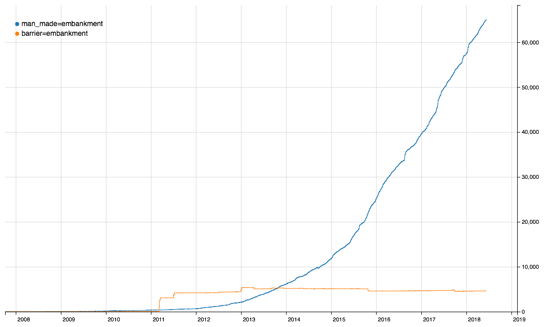
| 01:02, 12 April 2019 | Embankment-man made-vs-barrier.png (file) |  |
42 KB | 1 | |
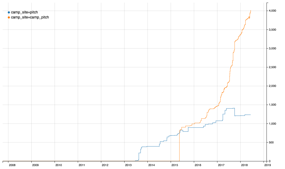
| 06:39, 10 April 2019 | Camp site=pitch vs camp site=camp pitch.png (file) |  |
33 KB | 1 | |
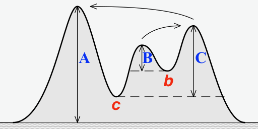
| 03:24, 3 October 2018 | Prominence simple.png (file) |  |
55 KB | Simple graphic, adapted from one on Wikipedia (CC 4.0), showing the prominence and key saddles over several peaks on an island. | 1 |
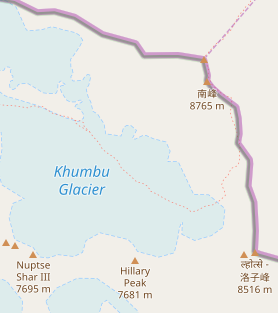
| 05:20, 28 September 2018 | Mount Everest area with Khumbu Glacier.png (file) |  |
27 KB | 1 | |
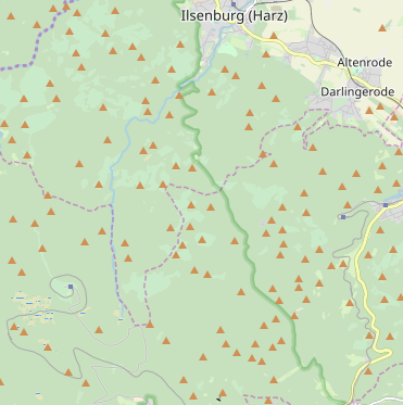
| 05:12, 28 September 2018 | Harz Mountains.png (file) |  |
74 KB | 1 | |
| 07:30, 21 September 2018 | Everest North French.png (file) |  |
6 KB | 1 | |
| 07:28, 21 September 2018 | Mount Everest Openstreetmap Carto tile.png (file) |  |
7 KB | 1 | |
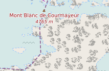
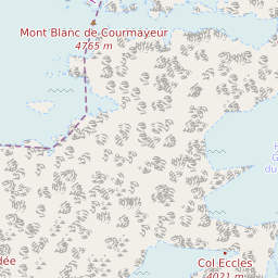
| 07:25, 21 September 2018 | Mont Blanc de Courmayer French.png (file) |  |
30 KB | 1 | |
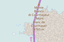
| 07:22, 21 September 2018 | Monte-Bianco-It-Fr.png (file) |  |
30 KB | 1 | |
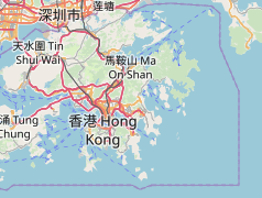
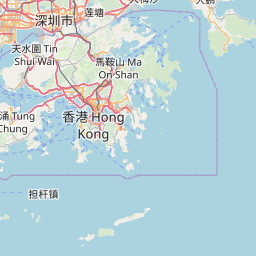
| 07:20, 21 September 2018 | Hong-Kong-Zh-En.png (file) |  |
56 KB | 1 | |
| 07:16, 21 September 2018 | Hong-Kong-French-style.png (file) |  |
63 KB | 1 | |
| 07:15, 21 September 2018 | Mont-Blanc-french-style.png (file) |  |
23 KB | 1 | |
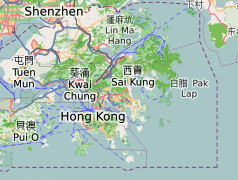
| 05:03, 21 September 2018 | Hong-Kong-en-zh-223.png (file) |  |
20 KB | 1 | |
| 05:00, 21 September 2018 | Mont-Blanc-both.png (file) |  |
19 KB | 1 |