Uploads by Mvexel
Jump to navigation
Jump to search
This special page shows all uploaded files.
| Date | Name | Thumbnail | Size | Description | Versions |
|---|---|---|---|---|---|
| 16:31, 17 June 2024 | Sotmus 2024 agenda.pdf (file) | 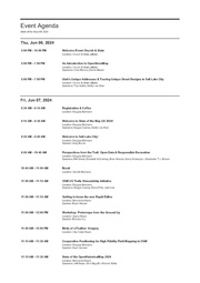 |
44 KB | {{Information | description=Agenda (Program) for State of the Map U.S. 2024 | source=Exported from Whova | date=2024-06-17 | author= | other_versions= }} | 1 |
| 18:30, 29 January 2022 | OpenStreetMap Then and Now .gif (file) |  |
2.85 MB | 1 | |
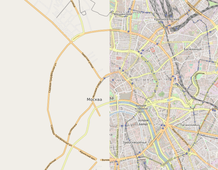
| 17:50, 20 December 2021 | Lenovo X220 serving Meet Your Mappers.jpg (file) |  |
129 KB | 1 | |
| 23:07, 19 August 2021 | UGRC CCBYPermission.pdf (file) |  |
52 KB | UGRC CC License Waiver Letter | 1 |
| 23:03, 19 August 2021 | UGRC CC License Waiver Letter.odt (file) | 50 KB | 1 | ||
| 22:05, 7 July 2021 | Screenshot from Overpass Turbo showing highway=unclassified highlighted.png (file) |  |
679 KB | 1 | |
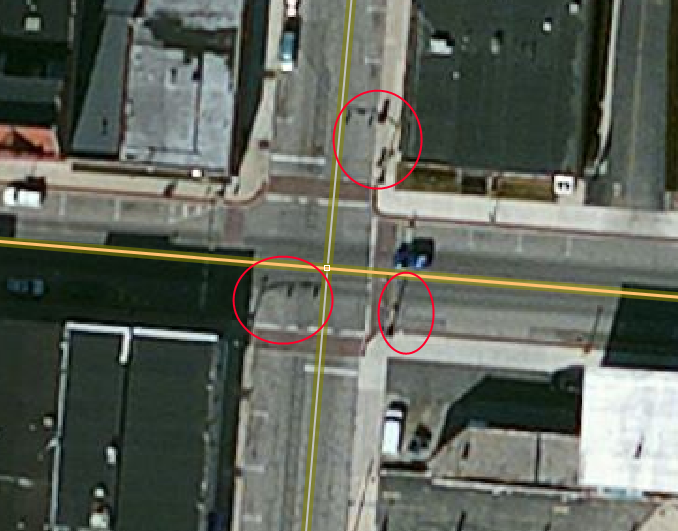
| 19:58, 26 April 2021 | A street name sign showing an alternate grid based name.png (file) |  |
121 KB | 1 | |
| 18:07, 26 April 2021 | Street grid layout utah.png (file) |  |
28 KB | 1 | |
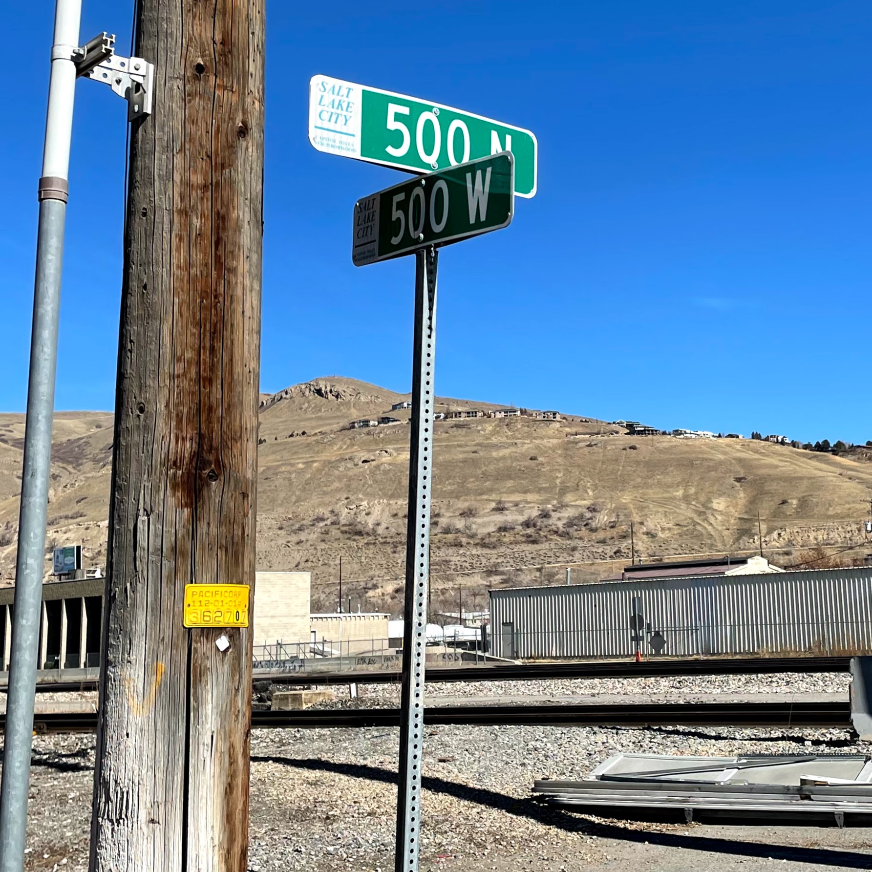
| 17:43, 26 April 2021 | Salt Lakr City Street name sign.jpg (file) |  |
675 KB | 1 | |
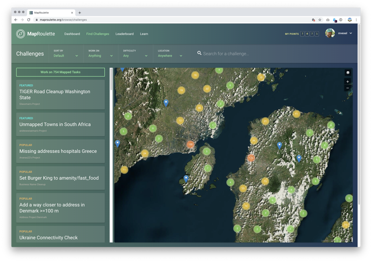
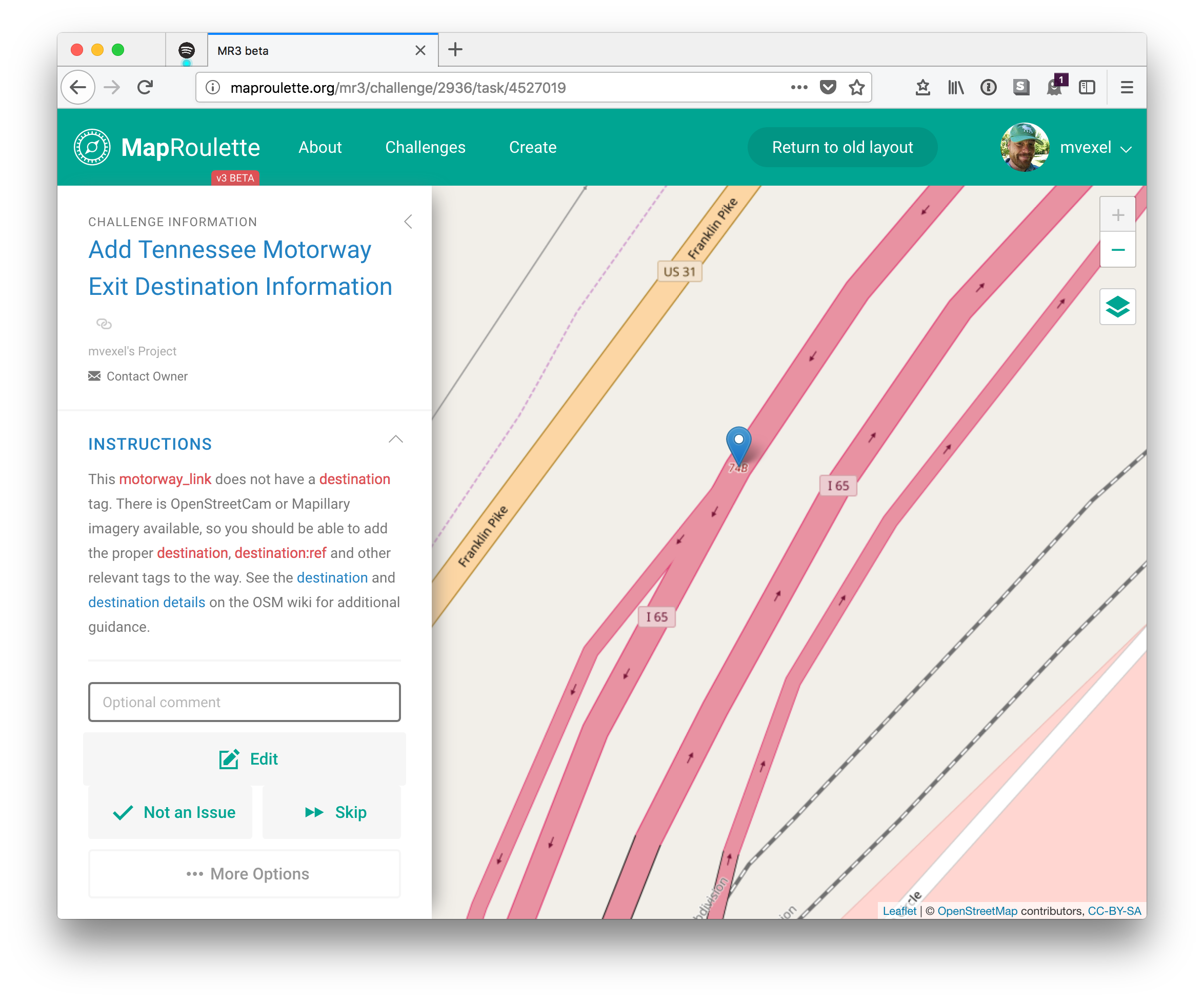
| 19:52, 12 September 2019 | Maproulette3 screenshot.png (file) |  |
485 KB | 1 | |
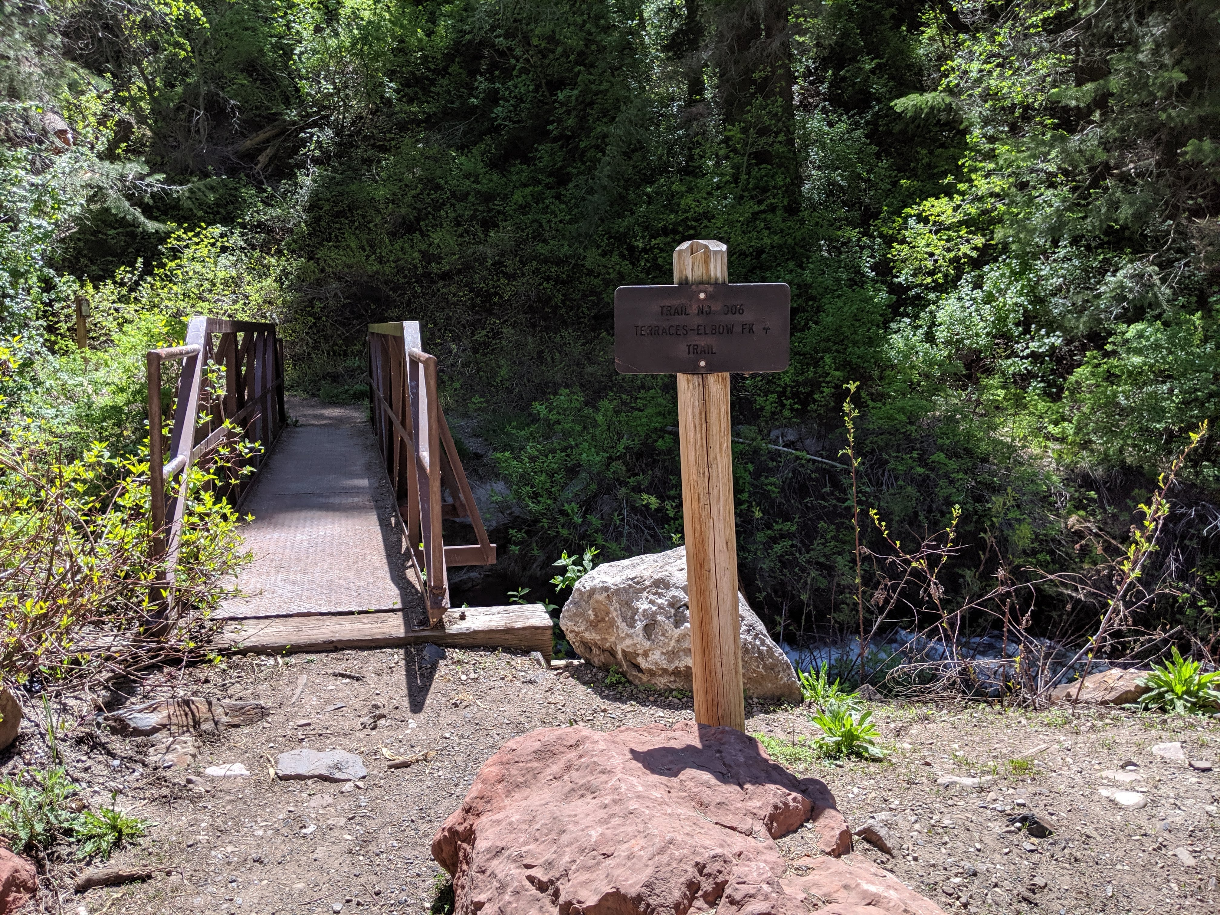
| 15:36, 13 June 2019 | Trailhead-developed.jpg (file) |  |
4.02 MB | A more developed trailhead with toilet, larger information sign, and (not in picture) parking | 1 |
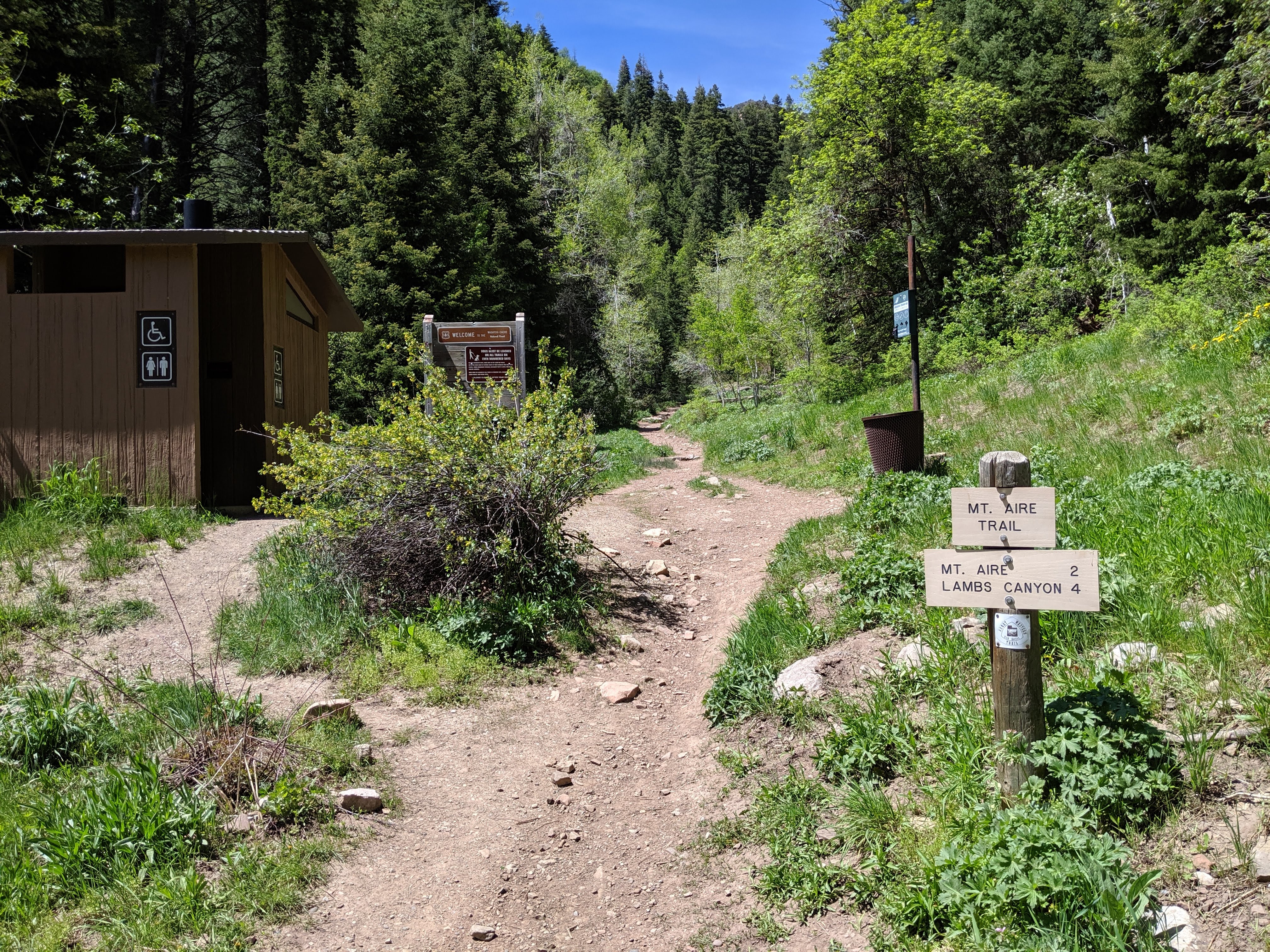
| 15:35, 13 June 2019 | Trailhead-basic.jpg (file) |  |
3.88 MB | example of a basic trailhead with just a small sign identifying the route that starts here. | 1 |
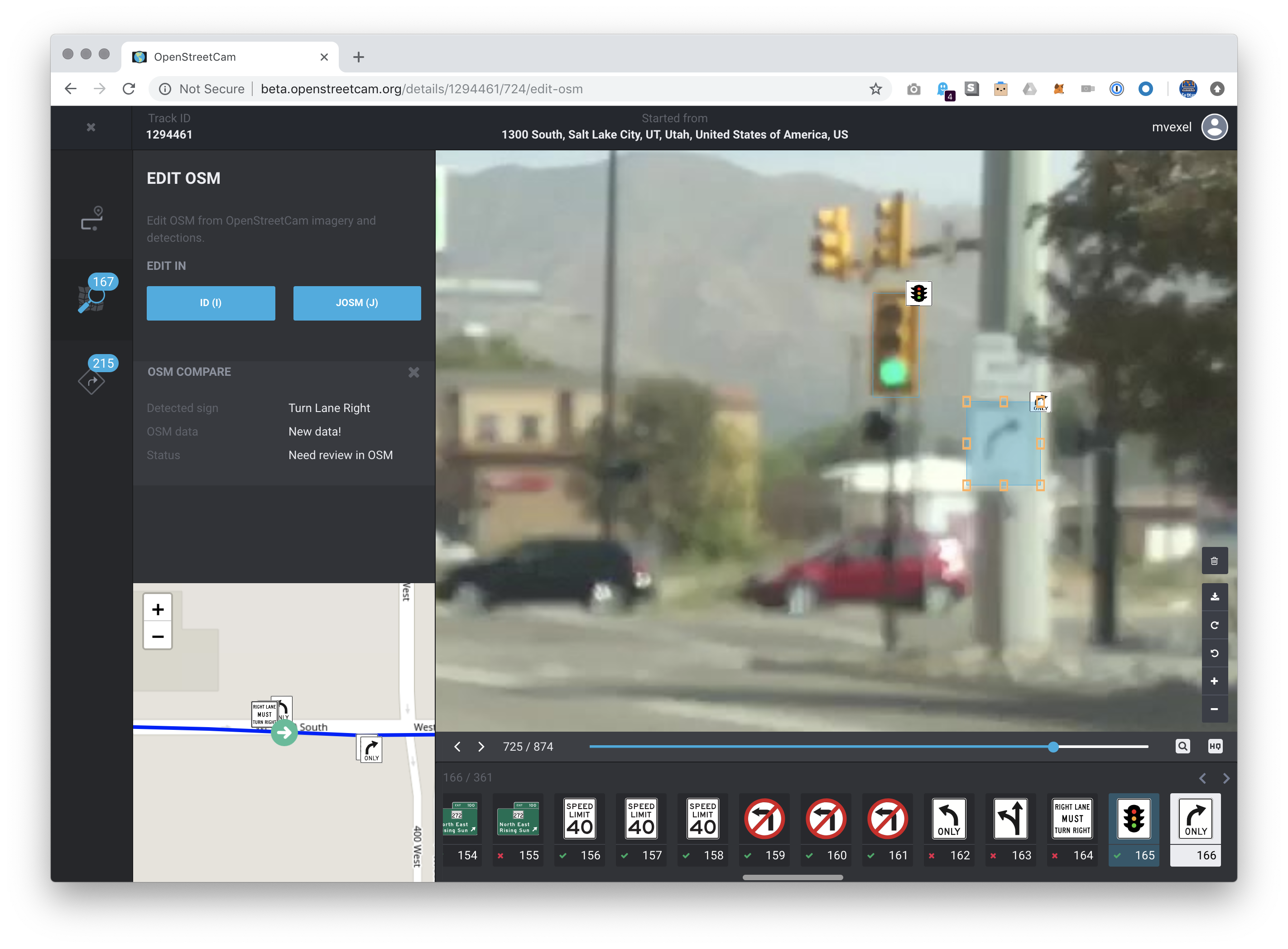
| 17:52, 15 November 2018 | Osc beta validation.png (file) |  |
2.5 MB | 1 | |
| 21:46, 13 November 2018 | Typo.png (file) |  |
87 KB | 1 | |
| 21:43, 13 November 2018 | Crudely Mapped Way.png (file) |  |
392 KB | 1 | |
| 21:41, 13 November 2018 | Example Bad Ramp.png (file) |  |
117 KB | 1 | |
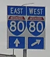
| 21:32, 13 November 2018 | US Cardinal Directions.jpg (file) |  |
16 KB | 1 | |
| 19:18, 13 November 2018 | Branching links.jpg (file) |  |
817 KB | 1 | |
| 19:13, 18 September 2018 | Transit Map screenshot.png (file) | 355 KB | 1 | ||
| 16:38, 29 August 2018 | Waylens Horizon user manual v 2.0.pdf (file) |  |
1.41 MB | 1 | |
| 20:31, 6 April 2018 | MapRoulette 3 Screenshot.png (file) |  |
1,023 KB | Screenshot of MapRoulette 3 beta 4 | 1 |
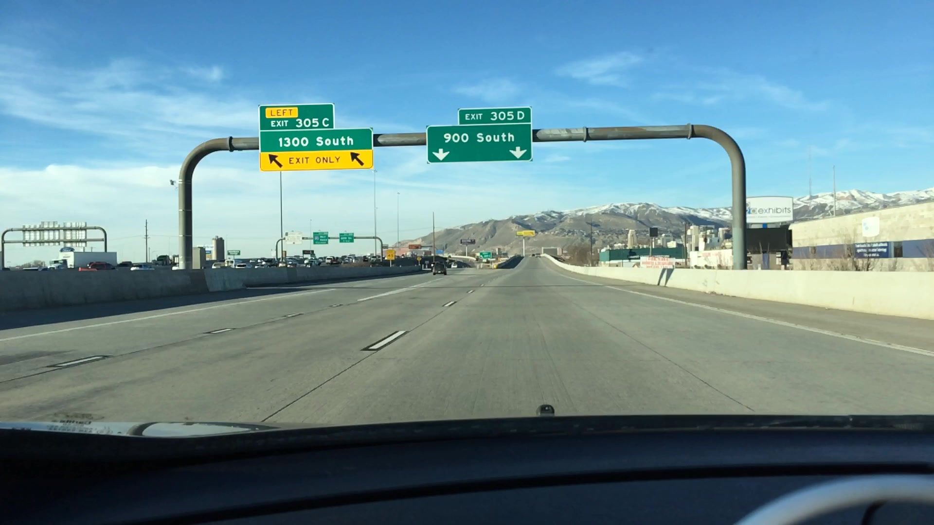
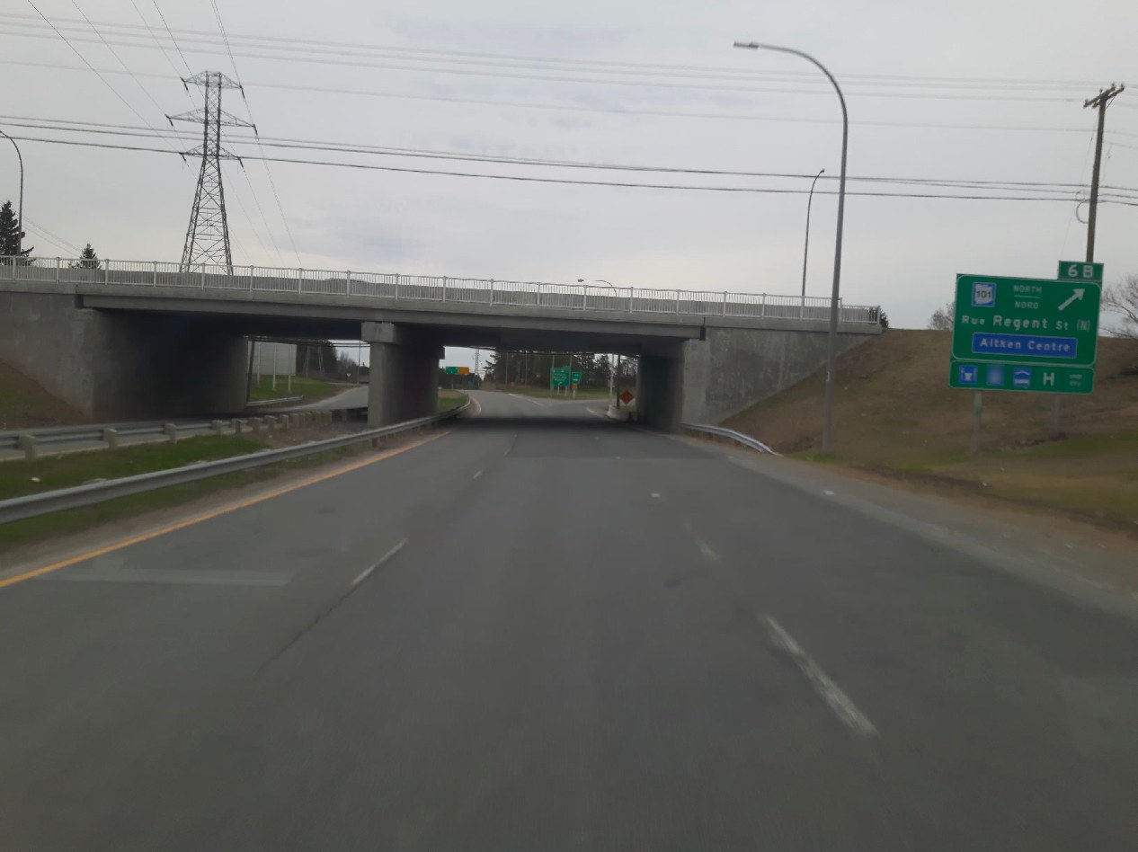
| 19:59, 9 October 2017 | Canada-bilingual-exit-example.jpg (file) |  |
108 KB | 1 | |
| 01:01, 27 July 2016 | Openstreetview-logo-camera.png (file) | 6 KB | The OpenStreetView 'Camera' Logo | 1 | |
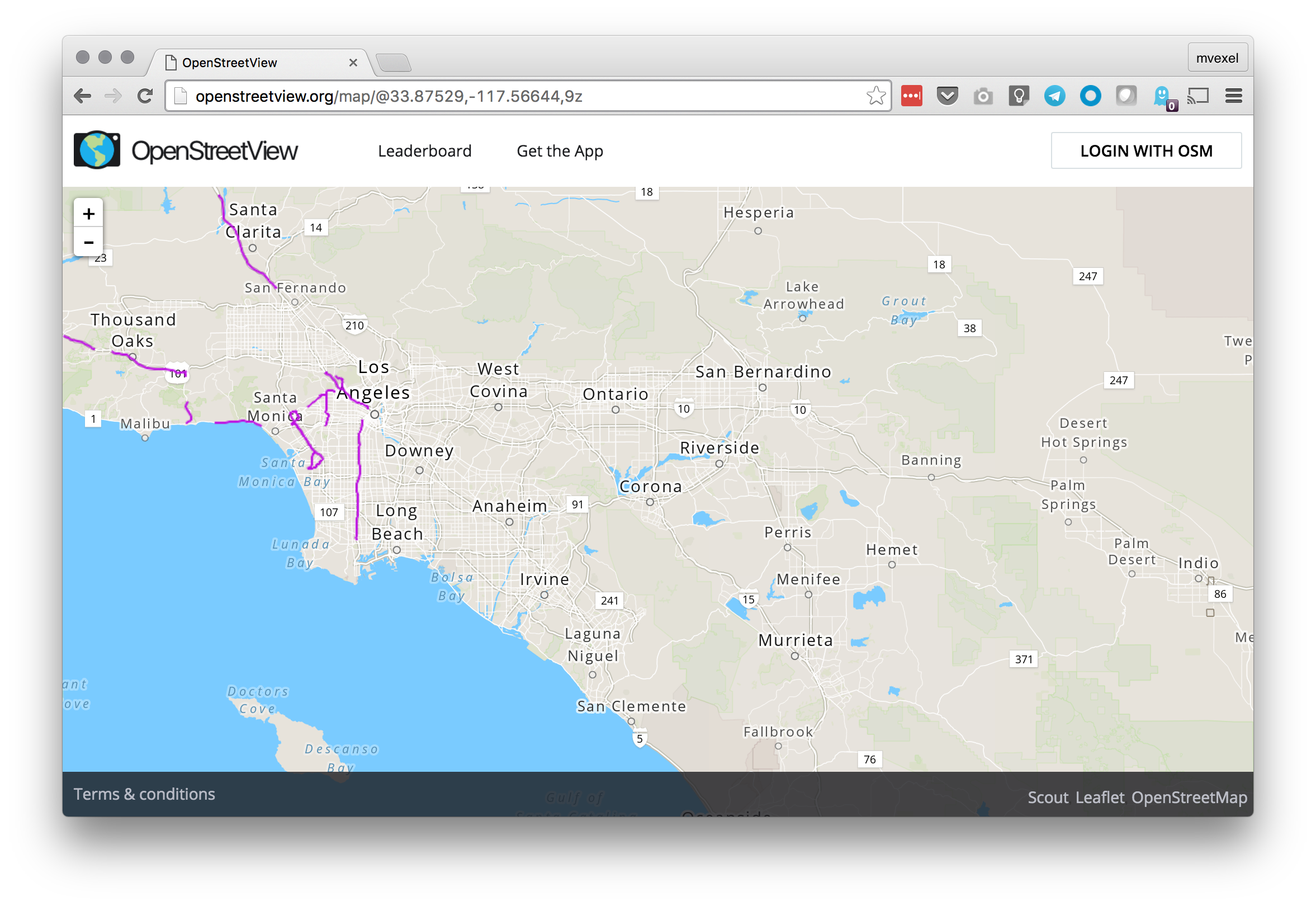
| 17:26, 21 July 2016 | Openstreetview-web-screenshot.png (file) |  |
1.24 MB | Screenshot of the OpenStreetView.org web site on Chrome / Mac | 1 |
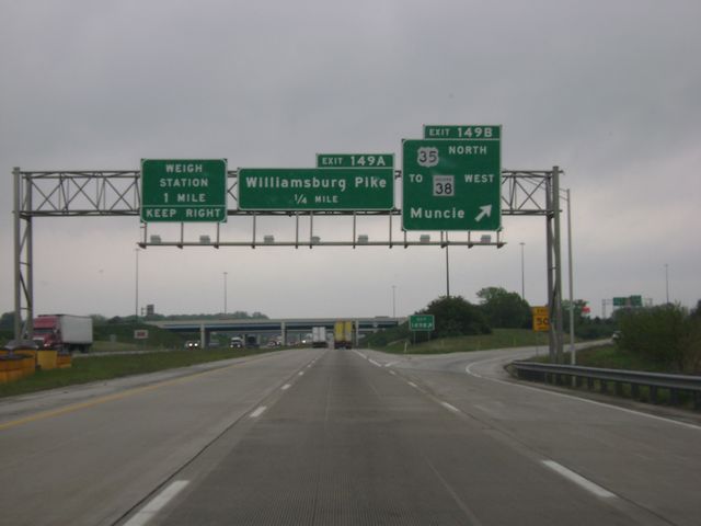
| 16:46, 3 November 2015 | DSC02410.jpg (file) |  |
29 KB | Example of content from CrossCountryRoads.com Source: http://crosscountryroads.com/Pictures/indiana/in_i70wb.html | 1 |
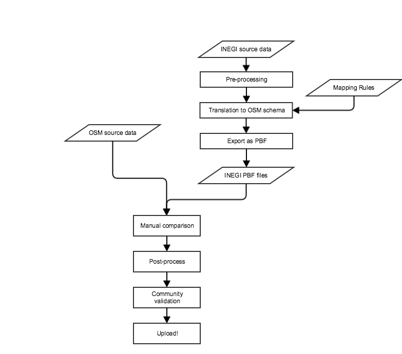
| 22:48, 5 August 2015 | Inegi admin import workflow.png (file) |  |
40 KB | INEGI admin boundaries import flow | 1 |
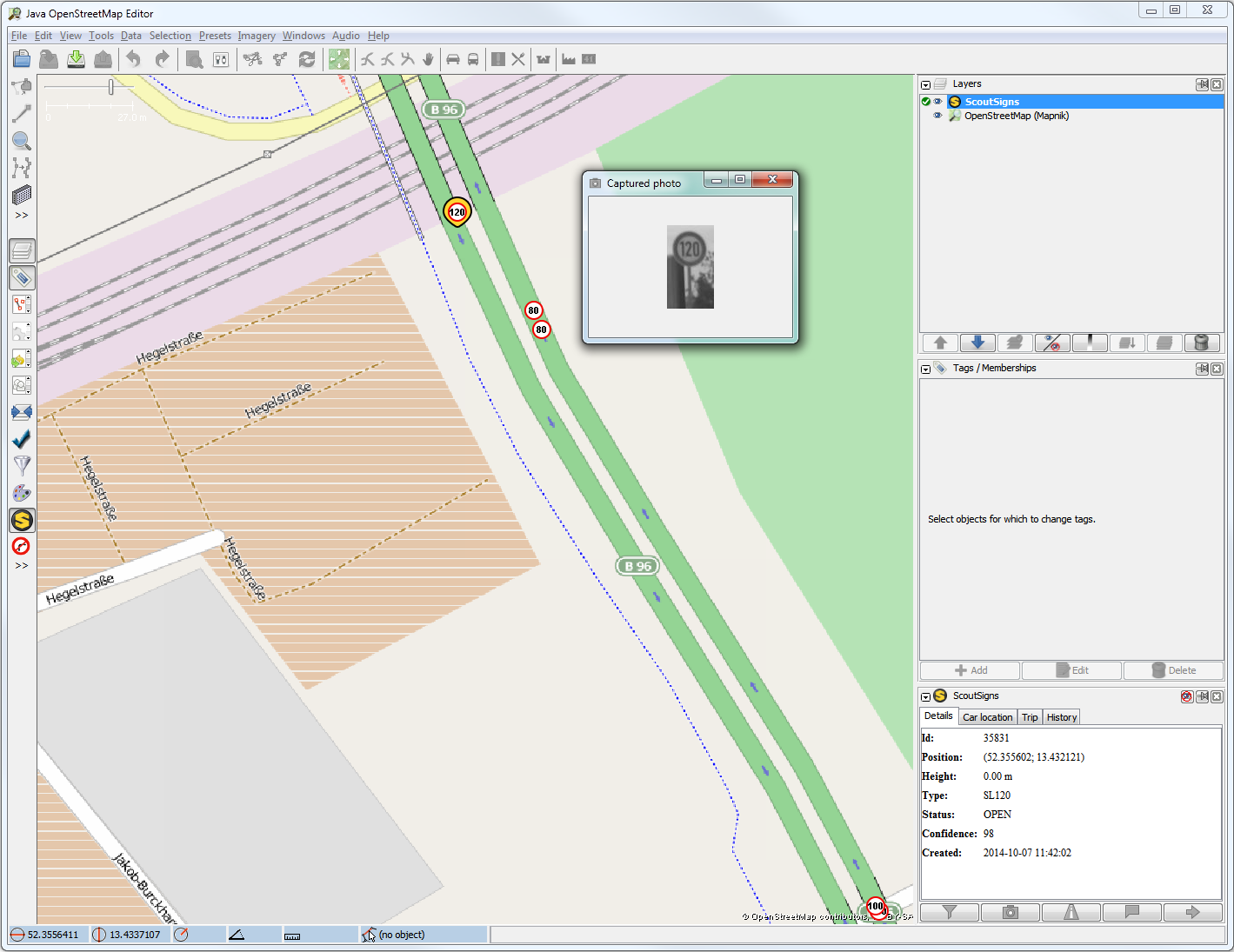
| 17:03, 8 January 2015 | Sel roadSign photo.png (file) |  |
229 KB | Screen shot of the ScoutSigns JOSM plugin | 1 |
| 20:54, 26 June 2014 | Exit to-in-the-us.png (file) |  |
193 KB | 1 | |
| 18:35, 17 December 2013 | Screen Shot 2013-12-17 at 11.33.19 AM.jpg (file) |  |
75 KB | 1 | |
| 19:29, 20 November 2013 | Image2013-10-9 15-29-6.png (file) |  |
255 KB | Map showing occurence of cardinal direction tagging on member roles (blue) and as direction= (red) on US numbered route relations | 1 |
| 22:26, 9 October 2013 | Telenav spot color.png (file) | 6 KB | Logo for Telenav | 1 | |
| 14:35, 25 September 2013 | Mvexel.jpg (file) |  |
20 KB | 1 | |
| 17:39, 27 March 2013 | Sotmus2013.png (file) |  |
6 KB | 1 | |
| 15:41, 2 November 2012 | Intersection-seondaries.png (file) |  |
46 KB | 1 | |
| 15:38, 2 November 2012 | Trafficsignals-josm.png (file) |  |
303 KB | Detecting traffic signals on intersection by looking at shadows | 1 |
| 00:55, 11 September 2012 | Sotmpdxbanner.png (file) |  |
28 KB | Banner for State Of The Map US 2012 | 1 |
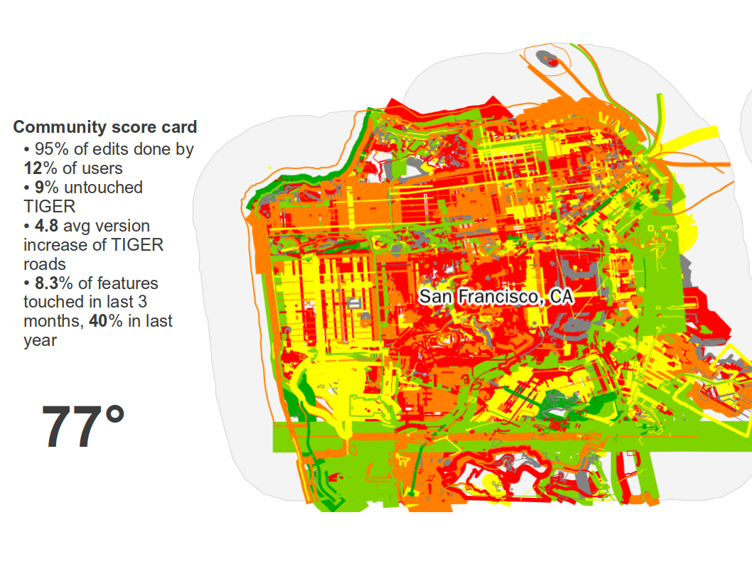
| 21:09, 13 November 2011 | 110911-SOTM11-sample-slide.png (file) |  |
612 KB | sample community score card slide from Martijn's presentation at SOTM11 | 1 |
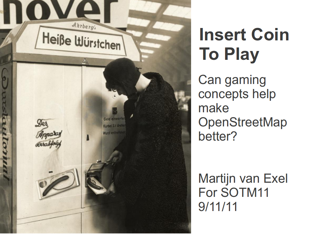
| 21:06, 13 November 2011 | Title-slide.png (file) |  |
748 KB | title slide of martijn's 2011 sotm talk | 1 |
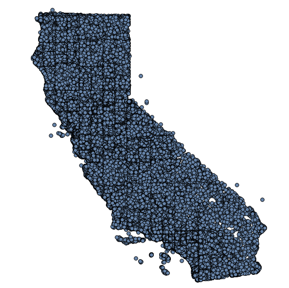
| 20:54, 1 November 2011 | Cali-poi-coverage.png (file) |  |
154 KB | 1 | |
| 20:47, 1 November 2011 | Arkansas-coverage.png (file) |  |
3 KB | From Arkansas Geostore. | 1 |
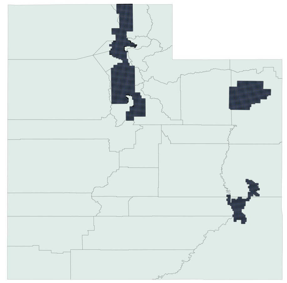
| 16:36, 1 November 2011 | Utah-aerial-coverage.png (file) |  |
156 KB | 2 | |
| 00:45, 13 October 2011 | Osm-slc-logo.png (file) | 180 KB | OpenStreetMap Salt Lake City User Group logo | 1 | |
| 10:02, 2 May 2011 | Gpx files privacy.svg (file) |  |
4 KB | GPX files by privacy level - data provided by TomH - http://lists.openstreetmap.org/pipermail/talk/2011-May/058073.html | 1 |
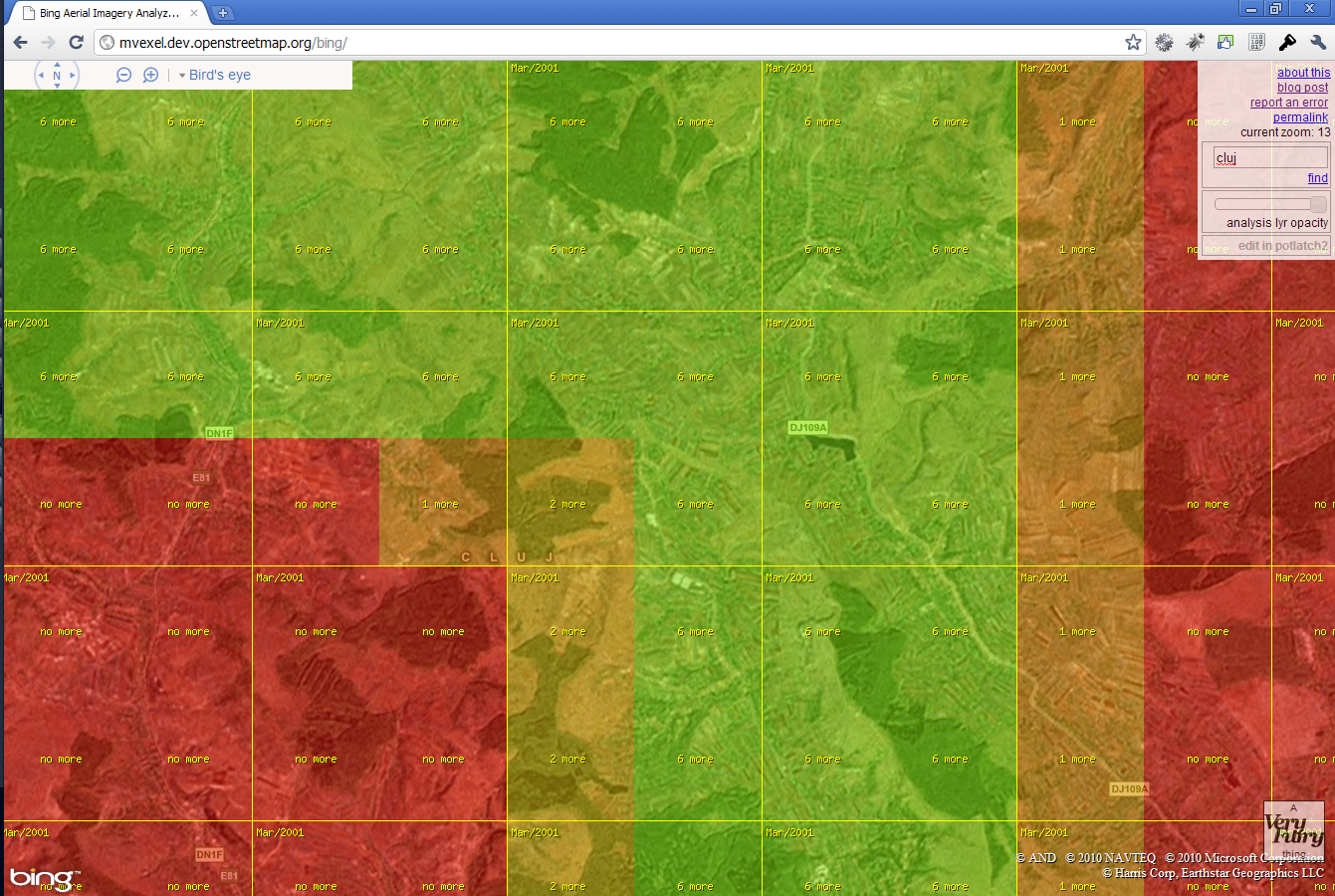
| 15:13, 5 January 2011 | Bing Imagery Analyzer screenshot.png (file) |  |
1.54 MB | Screenshot of the Bing Aerial Imagery Analyzer tool | 1 |
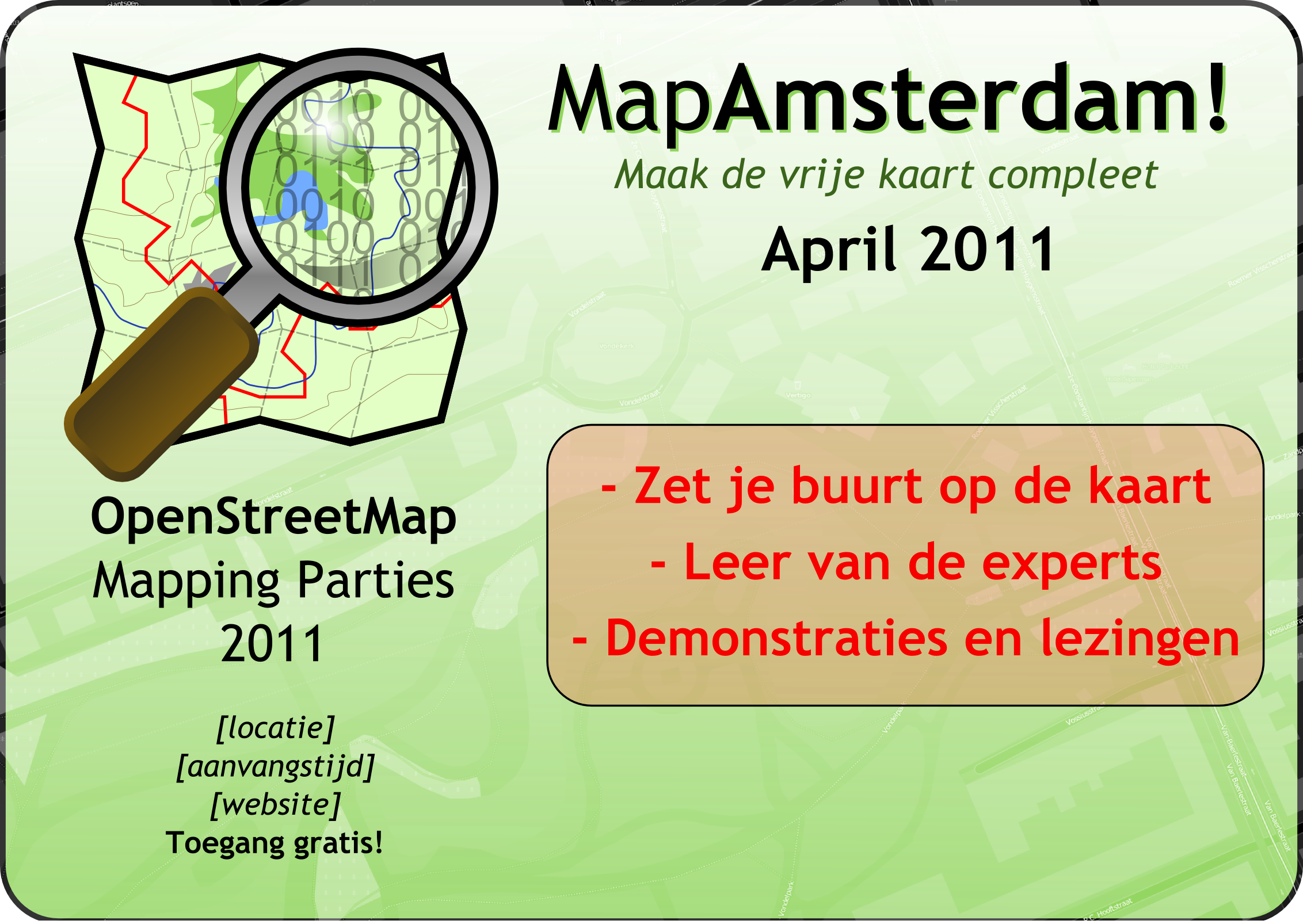
| 12:07, 19 November 2010 | Mapamsterdam logo.png (file) | 78 KB | Logo for mapping event Amsterdam 2011 | 1 | |
| 11:48, 19 November 2010 | Mappingparties2011.png (file) |  |
1.23 MB | svg uploaded earlier, but rendering on wiki screws up fonts. | 1 |
| 11:45, 19 November 2010 | Mappingparties2011.svg (file) |  |
1.67 MB | Promotional poster for Amsterdam Mapping Party 2011 | 1 |
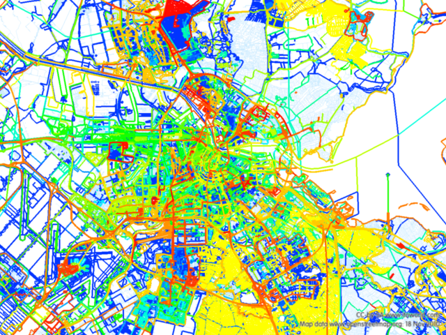
| 10:41, 19 November 2010 | Map image.png (file) |  |
625 KB | A map produced with the ITO OSM Mapper showing all non bulk import edits in the Amsterdam area. The color gradient indicates age; warmer colors are more recent edits. | 1 |
| 13:20, 31 May 2009 | Schaaltreinen rhodes 090311 square.jpg (file) |  |
75 KB | picture of User:Mvexel | 1 |