Uploads by Tordanik
Jump to navigation
Jump to search
This special page shows all uploaded files.
| Date | Name | Thumbnail | Size | Description | Versions |
|---|---|---|---|---|---|
| 05:35, 5 February 2022 | Google Summer of Code 2022.png (file) |  |
23 KB | == Summary == Logo of Google Summer of Code since 2022. Source: https://developers.google.com/open-source/gsoc/resources/marketing Category:Google Summer of Code Category:Logos == Licensing == [https://creativecommons.org/licenses/by-nc-nd/3.0/ Creative Commons Attribution-NonCommercial-NoDerivs 3.0 Unported (CC BY-NC-ND 3.0)] | 1 |
| 14:05, 28 January 2022 | Window-top-shape circular segment.svg (file) |  |
3 KB | 1 | |
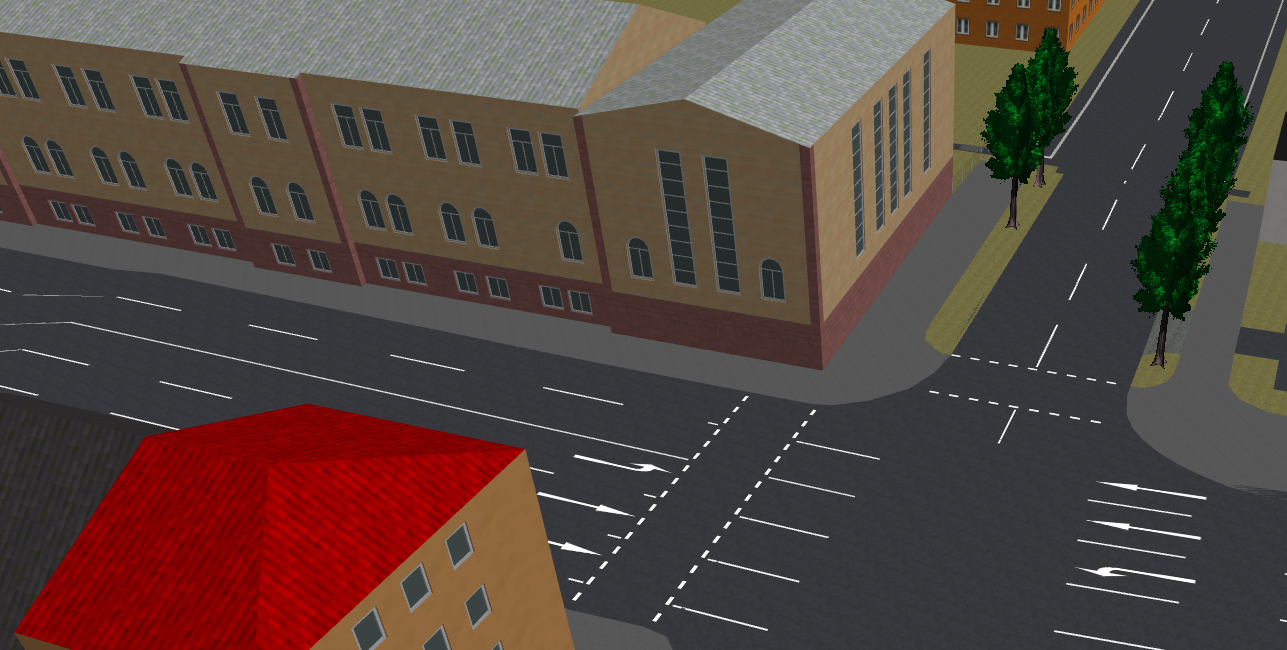
| 16:03, 15 January 2022 | THAB window shape small.png (file) |  |
946 KB | 1 | |
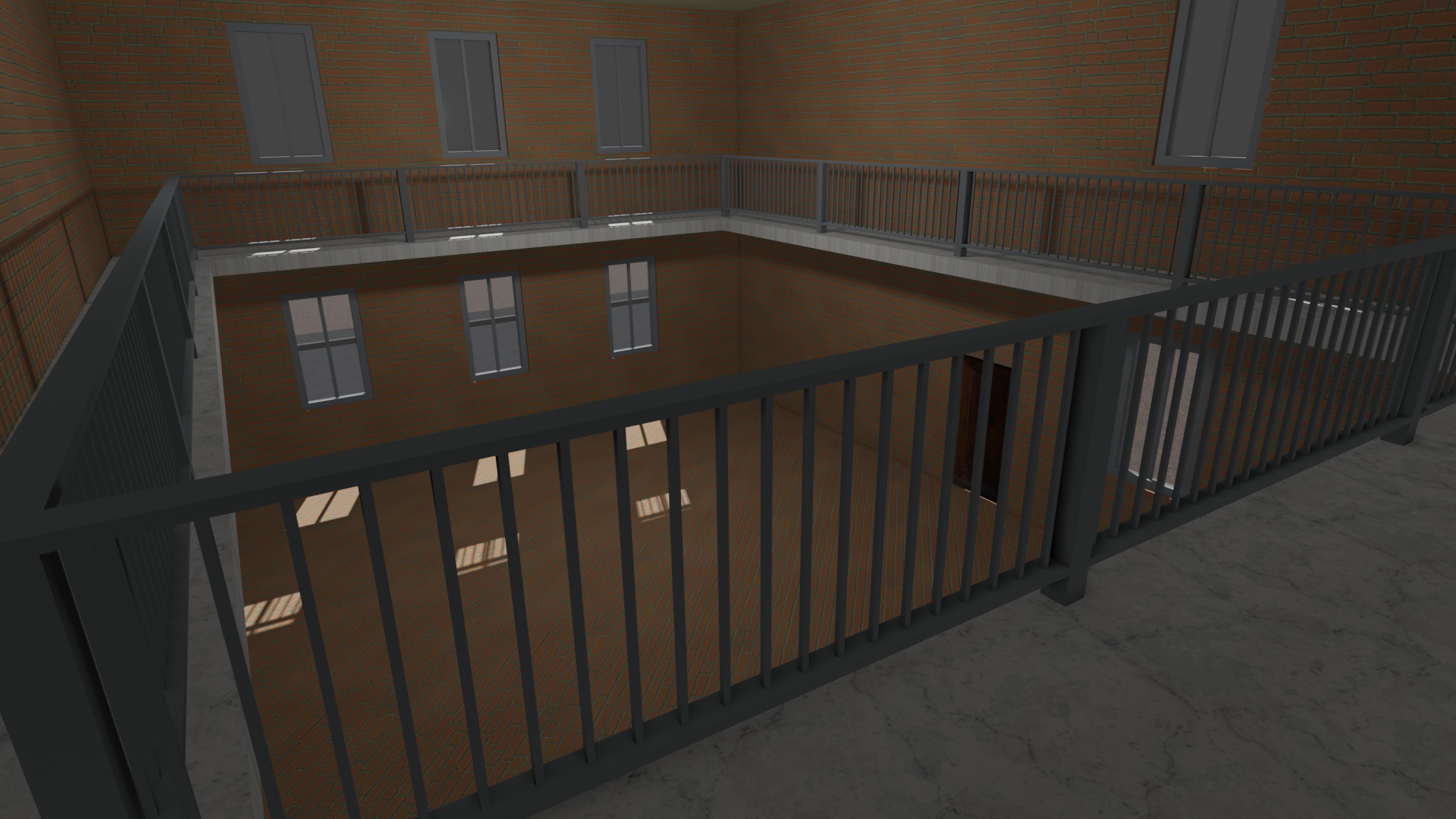
| 22:20, 1 March 2021 | Indoor multipolygon balcony 3d.png (file) |  |
2.92 MB | 1 | |
| 16:37, 12 October 2019 | Screenshot Large Hadron Collider - Wikipedia.png (file) |  |
1.5 MB | An example for informal collaboration with Wikipedia: OpenStreetMap is used to illustrate many Wikipedia articles, such as this article on the {{wikipedia|en|text=no|Large Hadron Collider}}. * Article text licensed [https://en.wikipedia.org/wiki/Wikipedia:Text_of_Creative_Commons_Attribution-ShareAlike_3.0_Unported_License CC BY-SA 3.0], from Wikipedia ([https://en.wikipedia.org/w/index.php?title=Large_Hadron_Collider&action=history full list of authors)] * [[wikipedia:File:Location Larg... | 1 |
| 20:09, 23 July 2019 | Diagram building min level=5.svg (file) |  |
13 KB | Diagram illustrating the meaning of Simple 3D Building's {{tag|building:min_level}} tag. Based on File:Minlevel.svg | 1 |
| 20:08, 23 July 2019 | Diagram building levels=7.svg (file) |  |
13 KB | Diagram illustrating the meaning of Simple 3D Building's {{tag|building:levels}} tag. Based on File:Minlevel.svg | 1 |
| 18:47, 7 July 2019 | OSM2World 0.2.0 Shader KIT.png (file) |  |
2.86 MB | OSM2World rendering of OpenStreetMap data for the Karlsruhe Institute of Technology. The image highlights the shader-related features implemented during Google Summer of Code/2015. | 1 |
| 15:59, 4 July 2019 | Connectivity and marking variants.svg (file) | 15 KB | 1 | ||
| 21:17, 3 April 2019 | OSM2World WebGL beta Passau.png (file) |  |
2.94 MB | Screenshot of a beta version of OSM2World's WebGL client that was showcased at FOSSGIS 2019. Category:OSM2World | 1 |
| 21:11, 3 April 2019 | OSM2World WebGL beta Warsaw.png (file) |  |
2.35 MB | Screenshot of a beta version of OSM2World's WebGL client that was showcased at FOSSGIS 2019. | 1 |
| 16:14, 27 March 2019 | Path example collage.png (file) |  |
1.08 MB | This is a collage of the following example images from the proposal for {{tag|highway|path}}: * File:Path-footdesignated.jpg * File:Path-bicycledesignated.jpg * File:GuideFootPathCycleYes.jpg * File:Path-nomotortraffic.jpg | 1 |
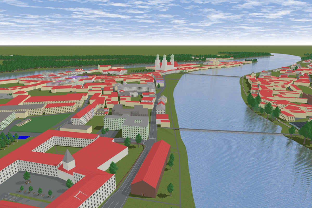
| 17:40, 18 March 2019 | OSM2World Maps Orthographic.png (file) |  |
327 KB | Example of an orthographic 3d slippy map rendered from OpenStreetMap data using OSM2World. The location is part of the university campus in Passau, Germany. | 1 |
| 19:53, 1 March 2018 | Aerialway-station-osmcarto-rendering.png (file) |  |
7 KB | 1 | |
| 17:03, 4 February 2018 | Interleaved pattern.png (file) |  |
42 KB | Schematic visualization of sett in an "interleaved" pattern. | 1 |
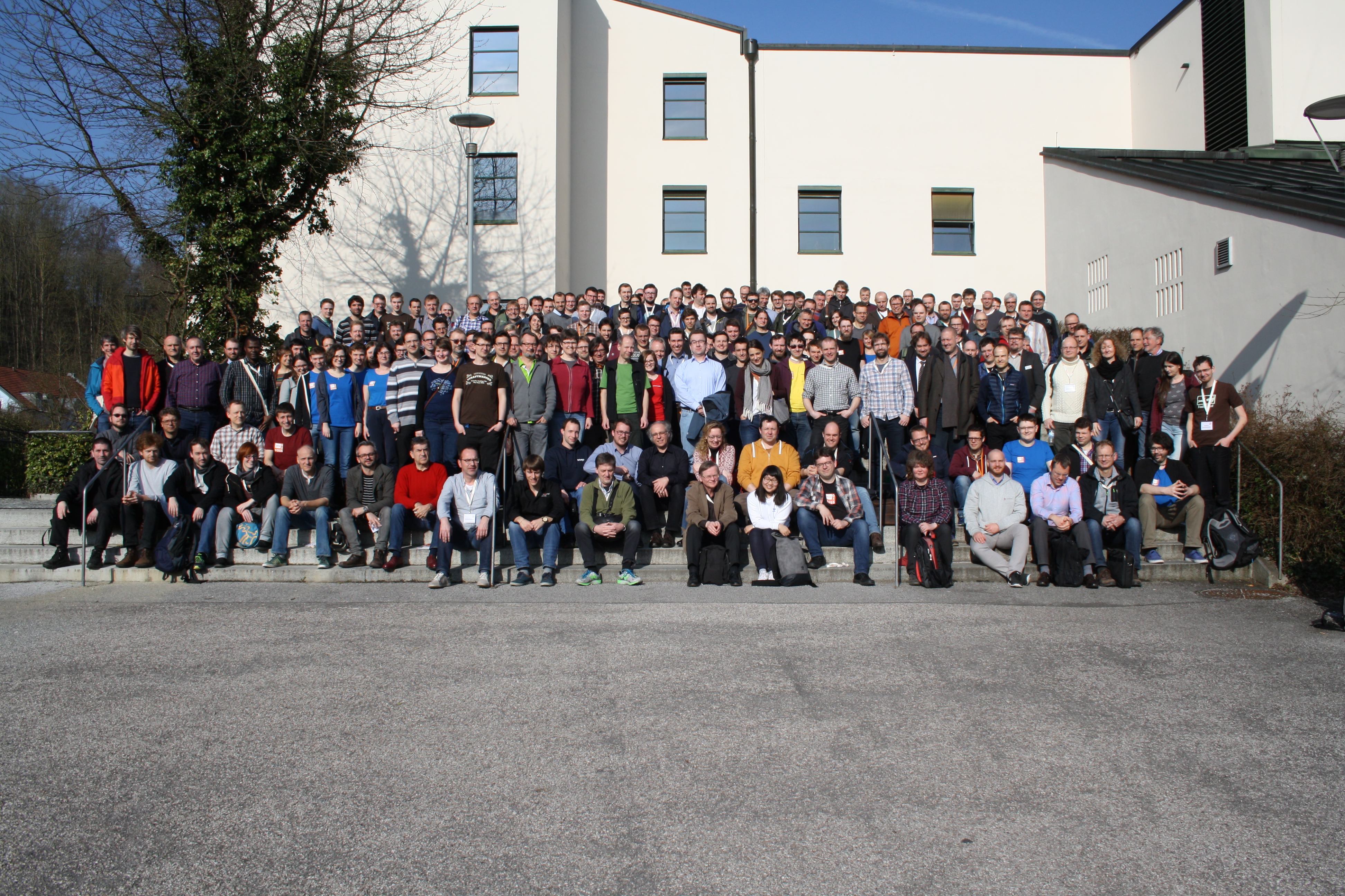
| 08:04, 27 March 2017 | FOSSGIS 2017 group photo.jpg (file) |  |
5.29 MB | 1 | |
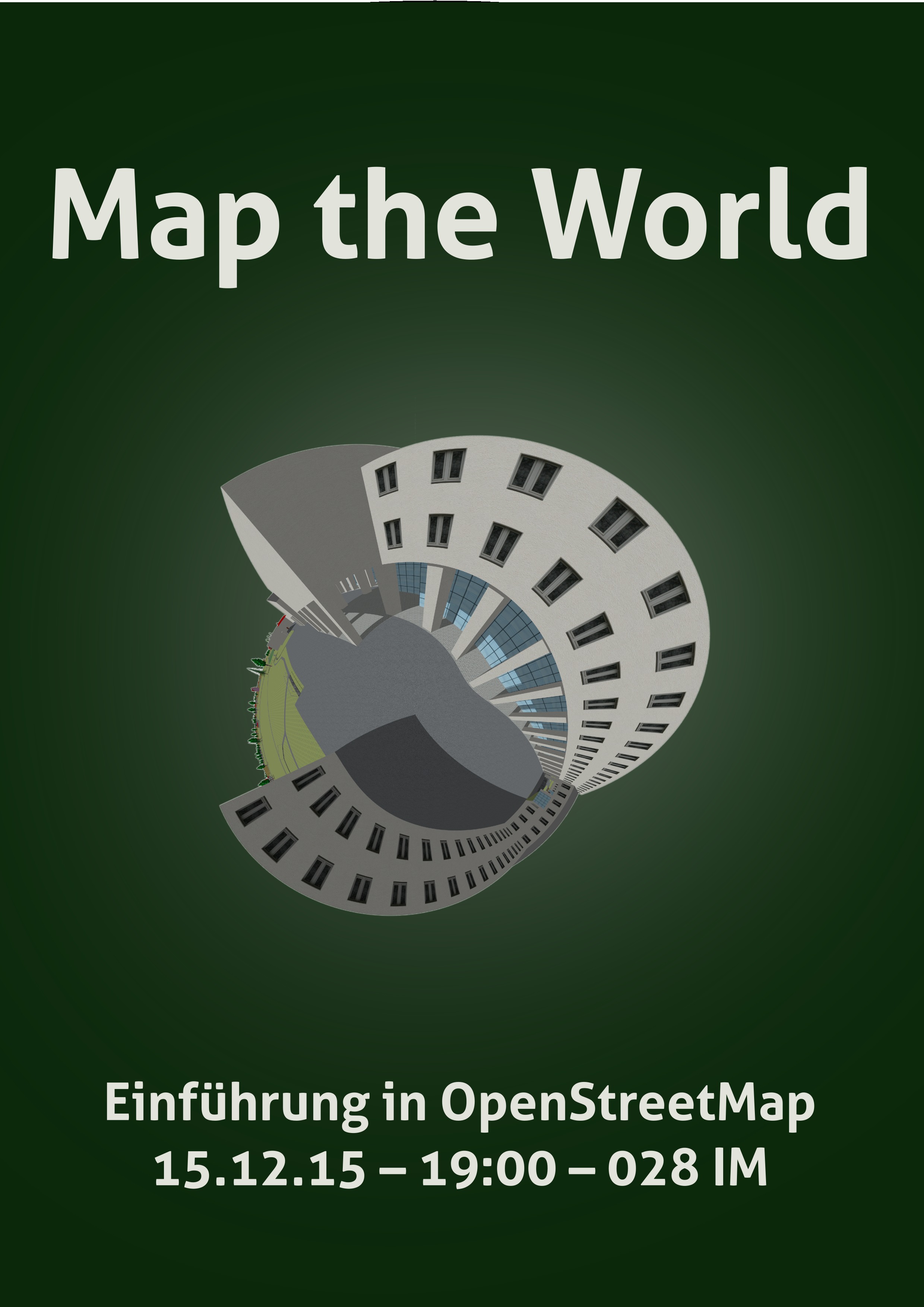
| 20:27, 12 December 2015 | Poster Map the World 2015-12 Passau.jpg (file) |  |
565 KB | Werbeposter for "Map the World" 2015 in Passau. | 1 |
| 16:00, 4 November 2015 | Paving directions - stone orientation vs. pattern orientation (de).svg (file) | .svg) |
185 KB | 1 | |
| 14:08, 29 October 2015 | Paving stone example rectangle with direction.svg (file) |  |
147 KB | 1 | |
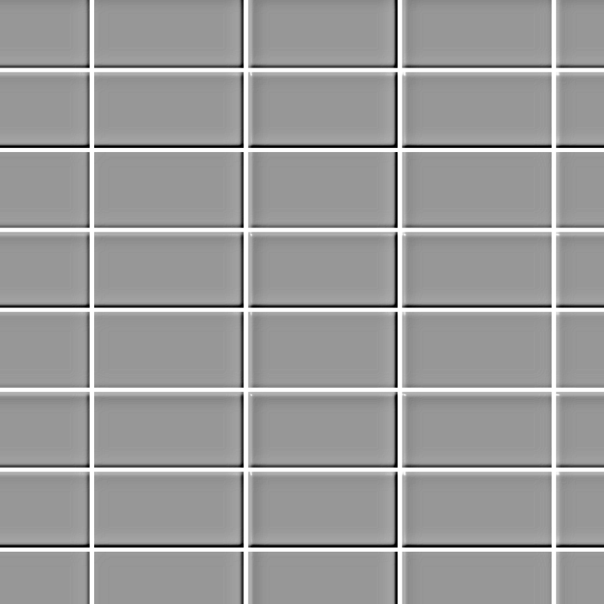
| 15:09, 21 May 2015 | Stack bond pattern.png (file) |  |
64 KB | Schematic visualization of paving stones in a "stack bond" pattern. | 1 |
| 15:08, 21 May 2015 | Quarter bond pattern.png (file) |  |
66 KB | Schematic visualization of paving stones in a "quarter bond" pattern. | 1 |
| 15:07, 21 May 2015 | Half bond pattern.png (file) |  |
66 KB | Schematic visualization of paving stones in a "half bond" pattern. | 1 |
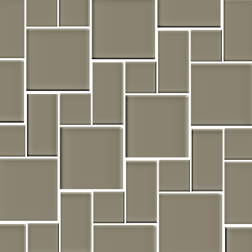
| 15:06, 21 May 2015 | Linen pattern.png (file) |  |
95 KB | Schematic visualization of paving stones in a "linen" pattern. | 1 |
| 15:05, 21 May 2015 | Tudor pattern.png (file) |  |
102 KB | Schematic visualization of paving stones in a "tudor" pattern. | 1 |
| 15:04, 21 May 2015 | Herringbone pattern.png (file) |  |
107 KB | Schematic visualization of paving stones in a "herringbone" pattern. | 1 |
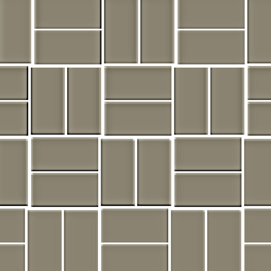
| 15:03, 21 May 2015 | Basket weave pattern.png (file) |  |
85 KB | Schematic visualization of paving stones in a "basket weave" pattern. | 1 |
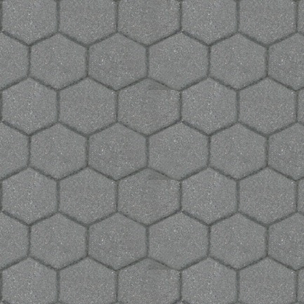
| 15:15, 28 April 2015 | Paving stone example hexagon.jpg (file) |  |
64 KB | Based on File:MarekFootway0003.jpg | 1 |
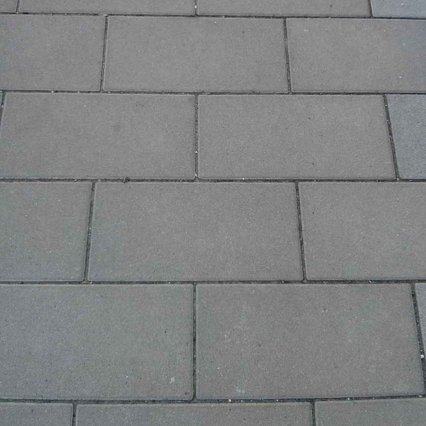
| 14:54, 28 April 2015 | Paving stone example rectangle.jpg (file) |  |
300 KB | 1 | |
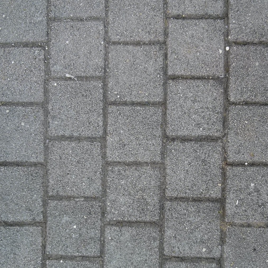
| 14:00, 28 April 2015 | Paving stone example square.jpg (file) |  |
475 KB | 1 | |
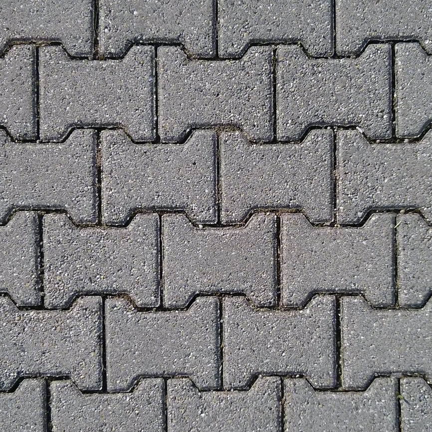
| 13:51, 28 April 2015 | Paving stone example double-t.jpg (file) |  |
566 KB | 1 | |
| 18:11, 29 October 2014 | Luggage Ramp Nuremberg.jpg (file) |  |
1.61 MB | An automatic luggage ramp in Nuremberg main station. | 1 |
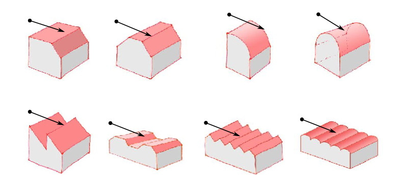
| 19:23, 12 February 2013 | More roof directions-draft.png (file) |  |
157 KB | based on File:Dachformen.pdf | 1 |
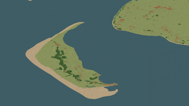
| 19:23, 24 January 2013 | OSM2World Tiles Amrum 2012-01-24.png (file) |  |
136 KB | Amrum on OSM2World Tiles | 1 |
| 00:30, 30 November 2012 | Poster Map the World 2012-12 Passau.png (file) |  |
832 KB | Poster for "Map the World" in Passau. Background rendering by Stamen, map data [http://www.openstreetmap.org/copyright © OpenStreetMap contributors] | 1 |
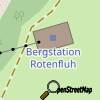
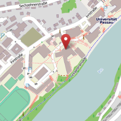
| 15:05, 29 November 2012 | Marker Innstraße 33 Passau.png (file) |  |
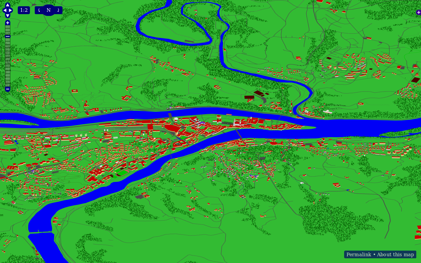
61 KB | http://www.openstreetmap.org/?mlat=48.56702&mlon=13.45154&zoom=16&layers=M OpenStreetMap-Karte mit Marker auf dem Gebäude "Informatik und Mathematik" der Universität Passau. | 1 |
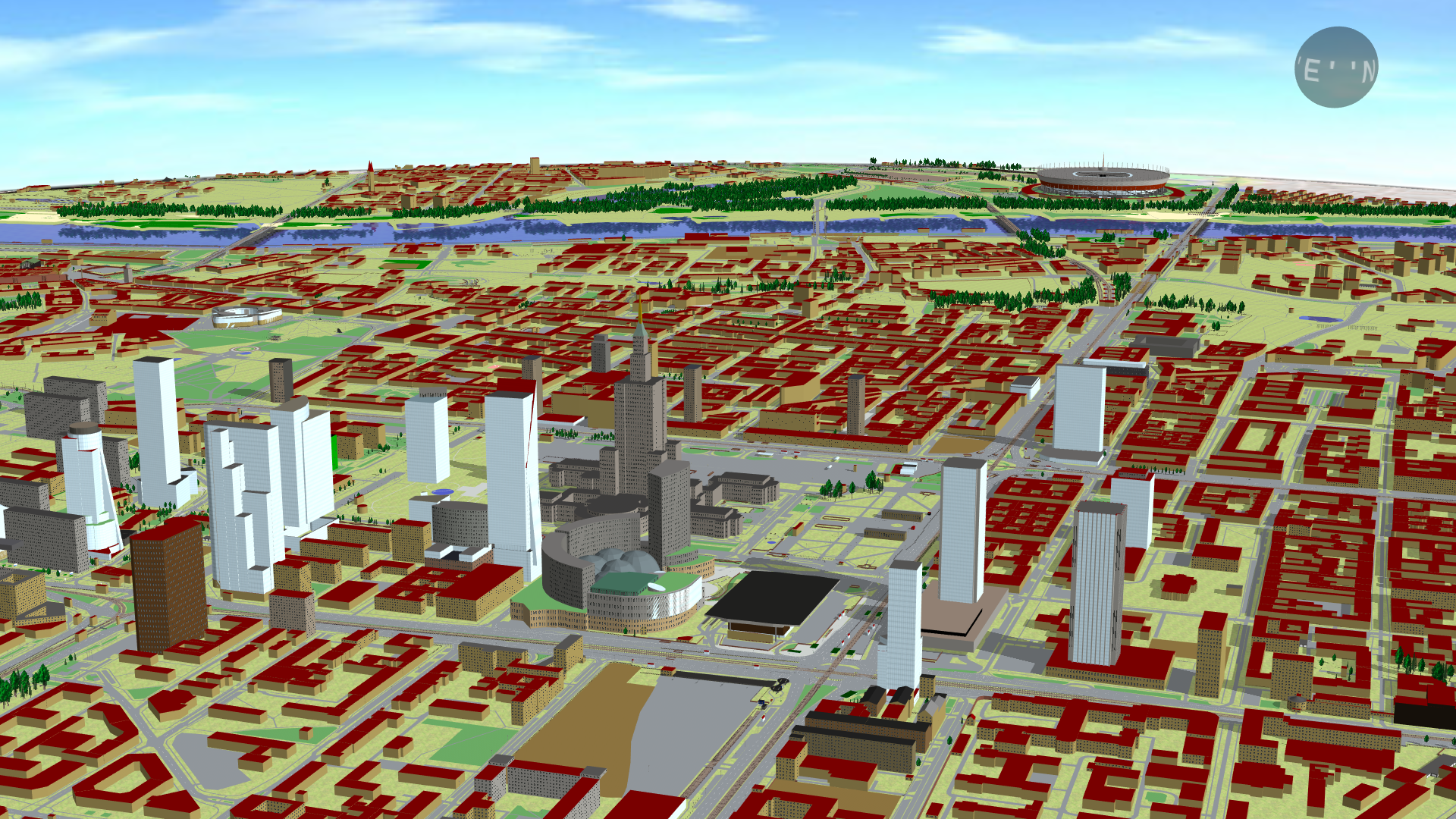
| 23:43, 23 October 2012 | OSM2World 0.2.0 - Passau from Inn POV.png (file) |  |
1.29 MB | High-resolution 3D rendering of OpenStreetMap data in Passau using POVRay. Models were created with OSM2World ([http://osm2world.org/examples/0.2.0/Passau%20from%20Inn%202012-09-13.png full size]). Category:3D Category:OSM2World | 1 |
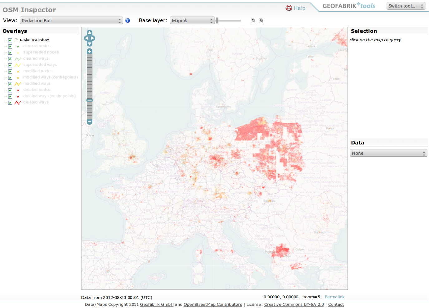
| 01:53, 23 August 2012 | OSMI Redaction Bot 2012-08-23.png (file) |  |
817 KB | OSM Inspector showing effects of the redaction bot in Central Europe | 1 |
| 16:35, 31 July 2012 | Building part areas in building area.svg (file) |  |
6 KB | Two building:part areas within a building area, defined by closed way outlines. Squares represent nodes. | 1 |
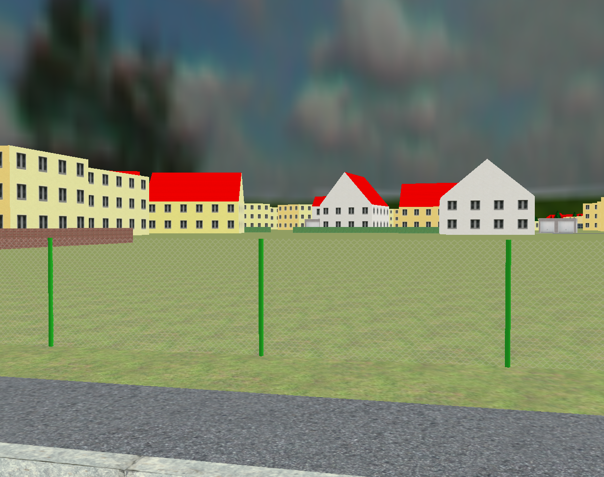
| 21:16, 11 July 2012 | OSM2World 0.2.0 - Transparent fence.png (file) | 1.56 MB | 3D rendering of OpenStreetMap data with OSM2World's built-in OpenGL renderer, version 0.2.0. Shows experiments with a transparent chain-link fence texture from the Texture Library. ==Other versions== [[:File:OSM2World 0.2.0 dev - Transparent fenc | 1 | |
| 11:20, 14 May 2012 | Business.png (file) |  |
103 KB | PNG version of File:Business.svg. Necessary because the SVG uses features that are not supported by the wiki's SVG renderer. | 1 |
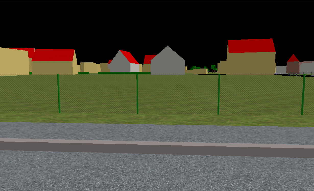
| 20:52, 12 May 2012 | OSM2World 0.2.0 dev - Transparent fence.png (file) | 815 KB | 3D rendering of OpenStreetMap data with OSM2World's built-in OpenGL renderer. Shows early experiments with a transparent chain-link fence texture from the Texture Library. Category:3D Category:OSM2World | 1 | |
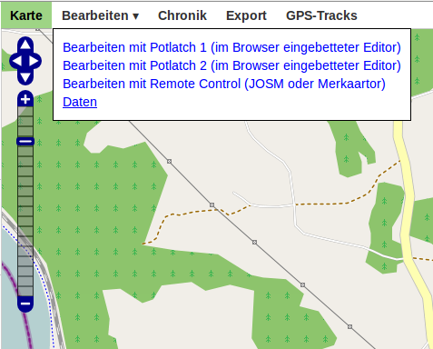
| 18:07, 4 April 2012 | Data layer in Edit menu - German.png (file) |  |
44 KB | Screenshot des 'Bearbeiten'-Menüs auf openstreetmap.org, hervorgehoben ist der Menüpunkt 'Daten'. OSM-Benutzerschnittstelle vom 2012-04-04. Englische Version: File:Data layer in Edit menu.png | 1 |
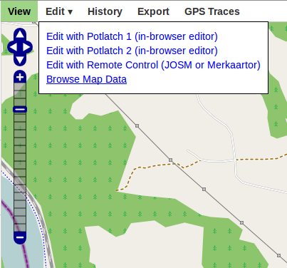
| 18:03, 4 April 2012 | Data layer in Edit menu.png (file) |  |
36 KB | Screenshot of the openstreetmap.org 'Edit' menu with 'Browse Map Data' as the highlighted option. OSM user interface as of 2012-04-04. | 1 |
| 13:41, 2 April 2012 | None yet.svg (file) |  |
3 KB | add a white background | 2 |
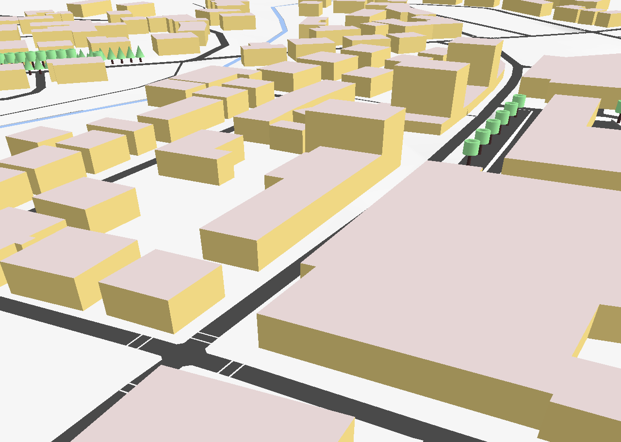
| 00:17, 2 April 2012 | OSM2World Maps.png (file) |  |
1.16 MB | Screenshot of the OSM2World slippy map. | 1 |
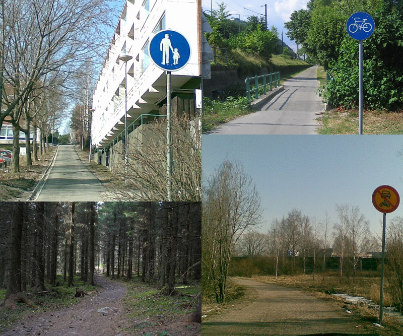
| 03:27, 22 February 2012 | Pedestrian square- Don't tag for the navi.svg (file) |  |
24 KB | 1 | |
| 03:42, 1 February 2012 | Poster NOTLM 2012-02 Passau.svg (file) |  |
481 KB | Poster for Night of the living maps on 07 February 2012 in Passau Category:Night of the living maps | 1 |
| 14:44, 5 September 2011 | Angles.svg (file) |  |
13 KB | NWW/SWW/NEE/SEE -> WNW/WSW/ENE/ESE | 3 |
| 19:13, 8 July 2011 | No u turn if hgv.svg (file) |  |
7 KB | 1 | |
| 19:16, 30 April 2011 | OSM2World 0.1.5 Hindenburgstr Winter OpenGL.png (file) |  |
47 KB | Hindenburgstraße in Coburg with surrounding streets and buildings ([http://www.openstreetmap.org/?lat=50.26289&lon=10.96436&zoom=17 map]), using a vaguely winter-themed color configuration. This is a 3D rendering of OpenStreetMap data, created using | 1 |